Gauge Conditions
Data from American Whitewater & USGS
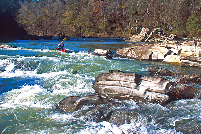
Photo
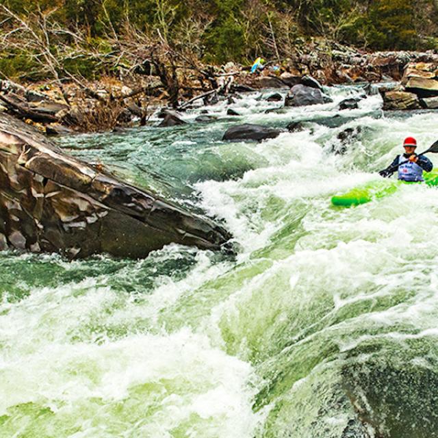
Photo courtesy of American Whitewater
Description
Take Out is the final rapid on this section, marking the end of the run and requiring careful navigation through a narrow constriction with potential for undercut rocks and swirling currents. Paddlers should be prepared for a technical exit that demands precise boat placement and awareness of surrounding terrain, particularly during varying water levels.
Location
Other Rapids on This Run (1)
View Full Run
2) Hwy 246 to Ed Banks Road (3.1 miles)
Cossatot
II+
3.2 mi
Current Conditions
5-Day Forecast
Whitewater data from
American Whitewater
American Whitewater