Take-out
WA
Take Out
Save this feature with the run it belongs to.
Gauge Conditions
Runnable: 300.0 – 2,500.0 CFS
The gauge is located about 20 miles upstream of the put-in. It is accurate during the summer months, but during and after rain events it reads low.
Data from American Whitewater & USGS
Photo
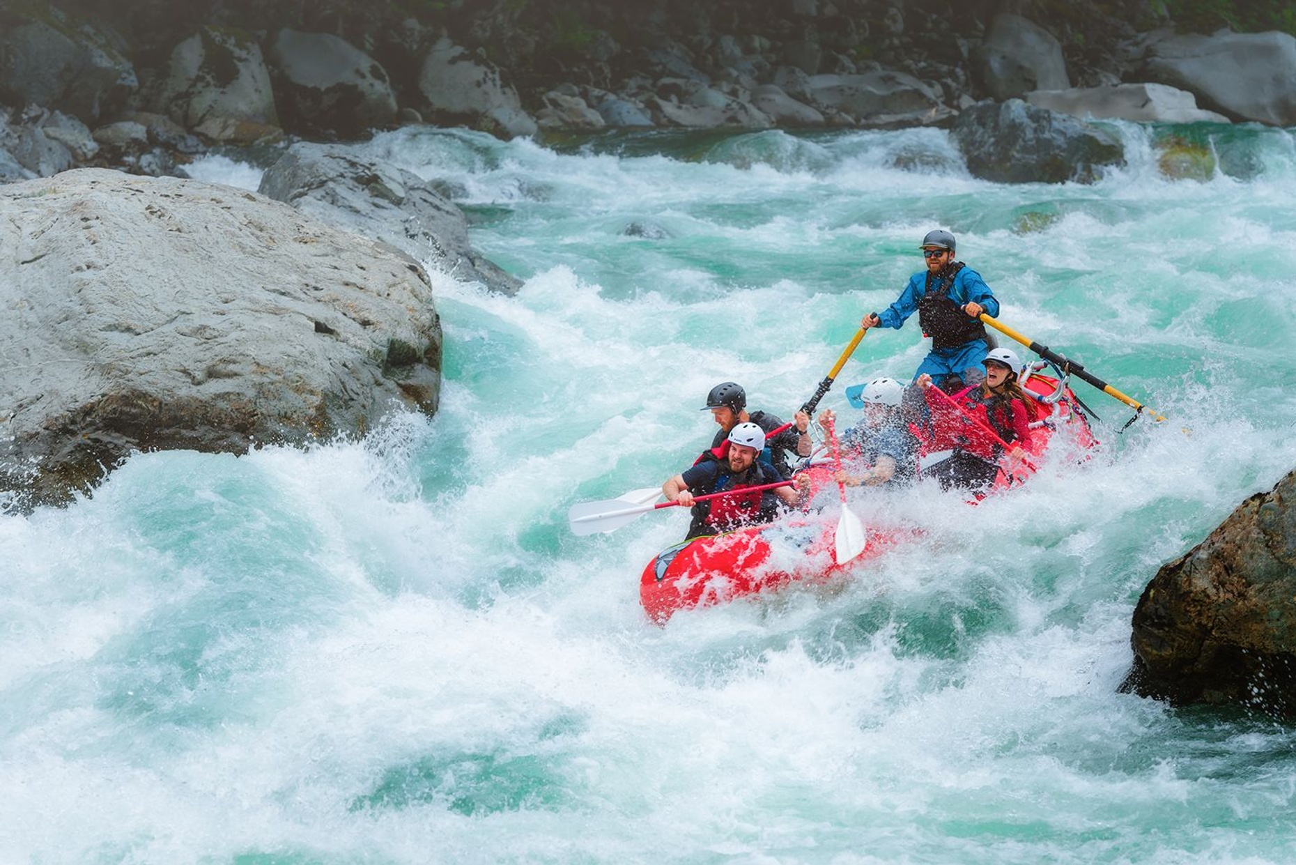
Photo courtesy of American Whitewater
Description
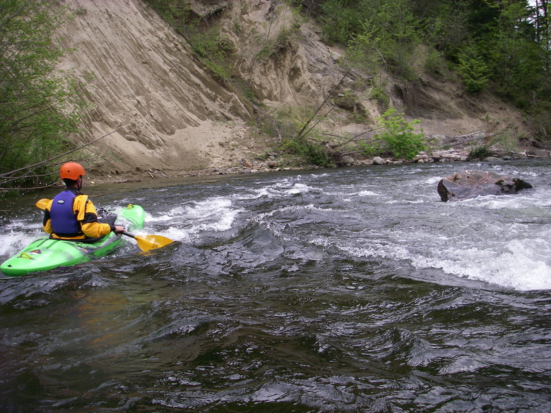
Take Out is a transition rapid marking the end of the run, characterized by a narrow channel and potential debris accumulation near the takeout point. Paddlers should exercise caution when approaching the exit, watching for shallow spots, potential strainers, and vehicle access limitations at the 424th Ave SE cul-de-sac. The rapid's significance lies primarily in its role as a critical access point rather than technical whitewater features.
Location
View Full Run
2. Twin Falls State Park to 424th Ave SE cul-de-sac
Snoqualmie, S. Fork
II+
4.5 mi
Current Conditions
5-Day Forecast
Whitewater data from
American Whitewater
American Whitewater