Take-out
WV
Take Out
Save this feature with the run it belongs to.
Gauge Conditions
Data from American Whitewater & USGS
Photo
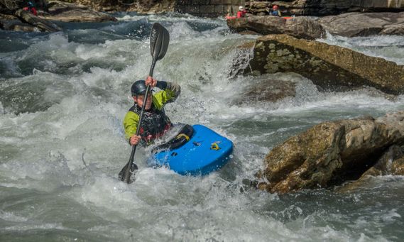
Photo courtesy of American Whitewater
Description
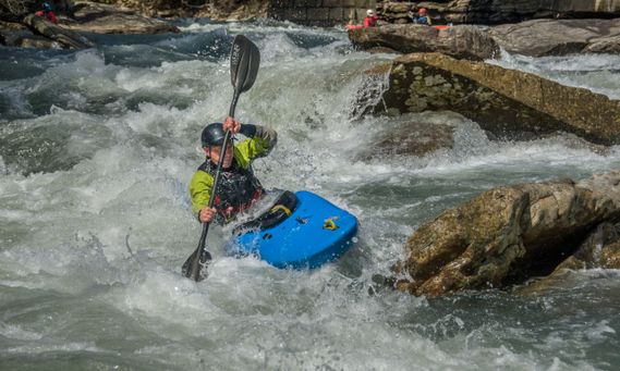
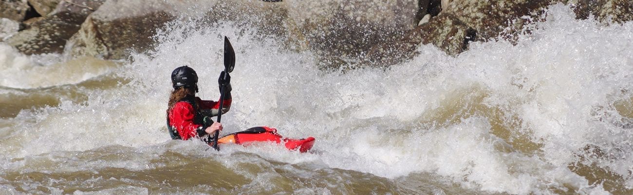
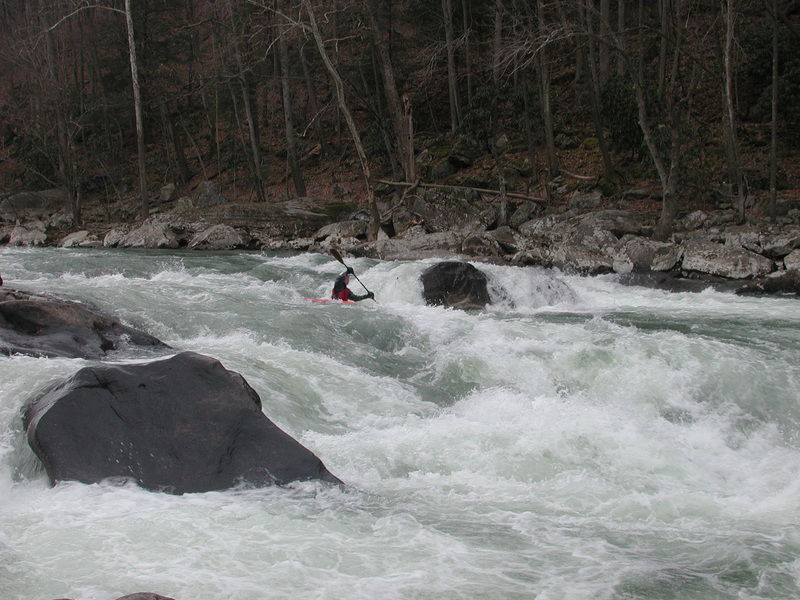
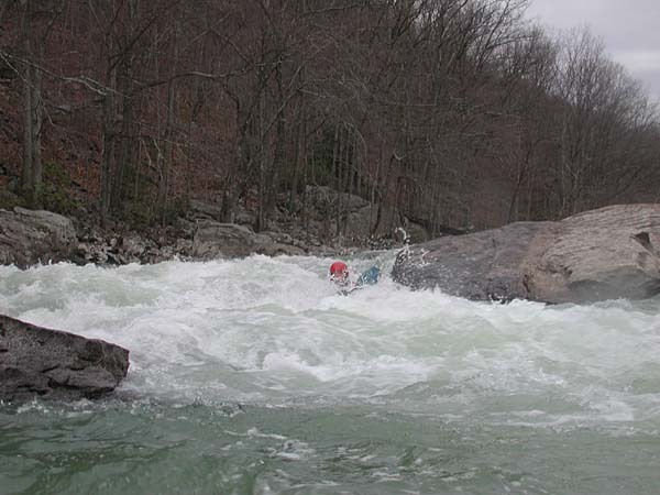
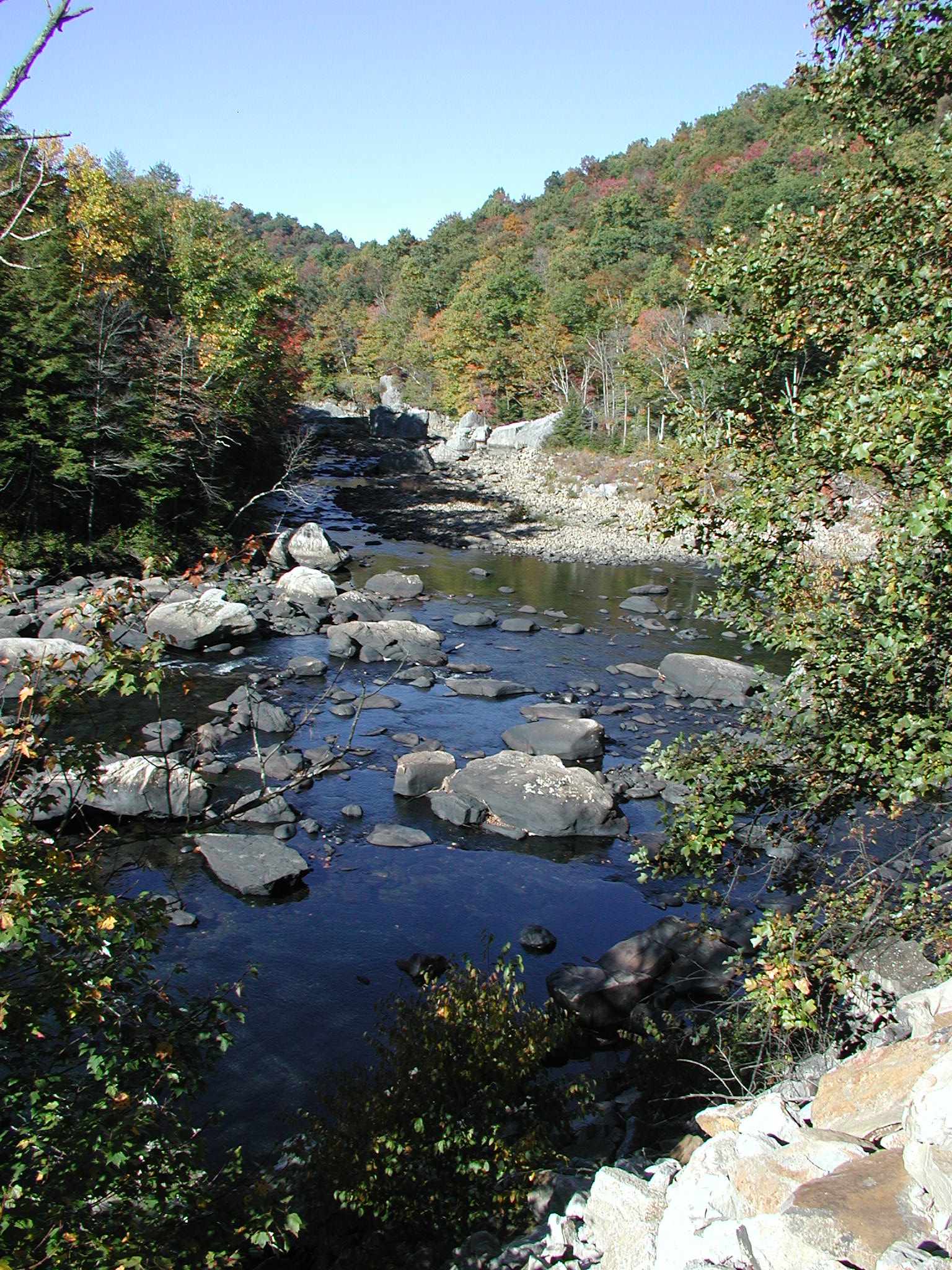
Take Out marks the concluding segment of this river section, characterized by a relatively straightforward but potentially technical exit point requiring precise navigation through scattered boulder gardens. Paddlers should be prepared for potential shallow areas and potential submerged obstacles that could impact boat control, especially during lower water levels.
Location
Interactive river map
Loads as you approach this section.
View Full Run
4. Belington to Buckhannon River
Tygart Valley
III-V
12.4 mi
Current Conditions
5-Day Forecast
Whitewater data from
American Whitewater
American Whitewater