Take-out
WI
Take Out
Save this feature with the run it belongs to.
Gauge Conditions
Runnable: ? – ? CFS
Approximate - nearest available gauge. Use as general reference only.
Data from American Whitewater & USGS
Photo
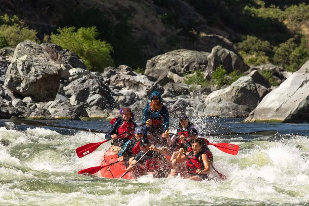
Photo courtesy of American Whitewater
Description
Take Out rapid appears to be poorly documented, with potential access challenges that may complicate navigation. Given the limited information available, paddlers should exercise extreme caution and thoroughly research local conditions, potential hazards, and land access permissions before attempting this section of the Wolf River.
Location
Interactive river map
Loads as you approach this section.
Other Rapids on This Run (15)
Rapid
N/A
USGS sampling site; DS Neopit Dam
 Rapid
N/A
Rapid
N/A
Put In
Rapid
N/A
USGS sampling site; IR110/Big Jim Zoar Rd
 Waterfall
N/A
Waterfall
N/A
Rainbow Falls
 Waterfall
N/A
Waterfall
N/A
Peavey Falls
Rapid
N/A
BIA Rte.26 / Camp 24 Road
Rapid
N/A
(apparent ledge)
Rapid
N/A
(apparent rapids)
Rapid
N/A
BIA Rte.124
 Rapid
N/A
Rapid
N/A
Crow Rapids
Rapid
N/A
Confluence: Little West Branch Creek
Rapid
N/A
(apparent rapids)
 Waterfall
N/A
Waterfall
N/A
Beartrap Falls
Rapid
N/A
USGS Sampling site; West Branch Road / BIA Rte.39
Rapid
N/A
Wayka Falls
View Full Run
above Neopit millpond to Wolf River (16 miles) ** ACCESS ISSUES **
Wolf, W.Br.
II-IV
15.6 mi
Current Conditions
5-Day Forecast
Whitewater data from
American Whitewater
American Whitewater