Take-out
WI
Take Out
Save this feature with the run it belongs to.
Gauge Conditions
Runnable: 500.0 – 4,000.0 CFS
Probably moderate flows. (Unconfirmed. We need your input. Add a comment or report regarding best flows.)
Data from American Whitewater & USGS
Photo
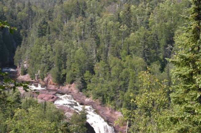
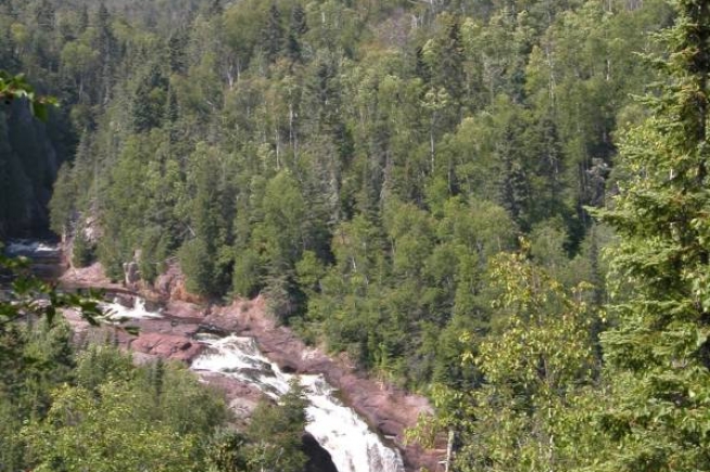
Photo courtesy of American Whitewater
Description
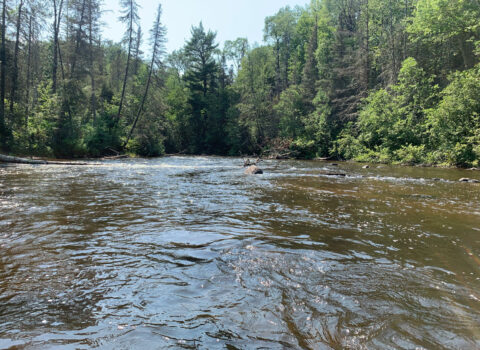
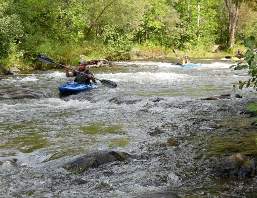
Take Out rapid marks the end of the run, characterized by a straightforward descent with minimal technical challenges. Paddlers should be aware of potential debris near the river's edge and maintain awareness of the takeout point's location to avoid overshooting the exit. While not a particularly difficult rapid, careful navigation is still recommended to ensure a safe conclusion to the river segment.
Location
Interactive river map
Loads as you approach this section.
View Full Run
B) Brule R. Dam to Ryneers Rd. (3.4 miles)
Brule
I-II
3.3 mi
Current Conditions
5-Day Forecast
Whitewater data from
American Whitewater
American Whitewater