Take-out
WI
Take Out
Save this feature with the run it belongs to.
Gauge Conditions
Runnable: ? – ? CFS
Approximate - nearest available gauge. Use as general reference only.
Data from American Whitewater & USGS
Description
USGS gauge at our listed take-out lists drainage area of 91.46 square miles, and was activated on 2024.06.20, so we don't have much history to work with. FWIW, on July 5th, the gauge hit a max (for the part of the year it existed) of 292 cfs.
Location
Interactive river map
Loads as you approach this section.

View Full Run
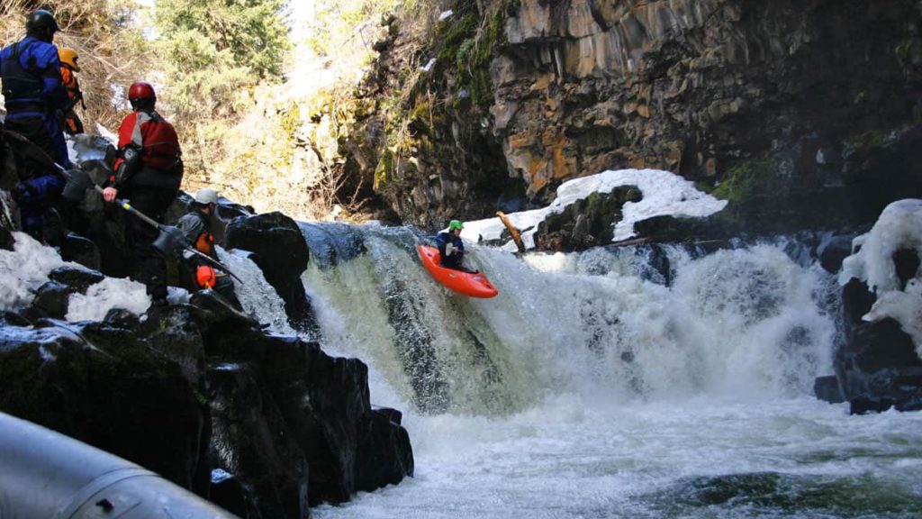
B) Foster Falls (Sullivan Rd) to Hwy.169 (7.5 miles)
Potato
II-IV
7.3 mi
Current Conditions
5-Day Forecast
Whitewater data from
American Whitewater
American Whitewater