Take-out
KY
Take Out
Save this feature with the run it belongs to.
Gauge Conditions
Runnable: 11.5 – 14.5 FT
Low, but *maybe* runnable.
Data from American Whitewater & USGS
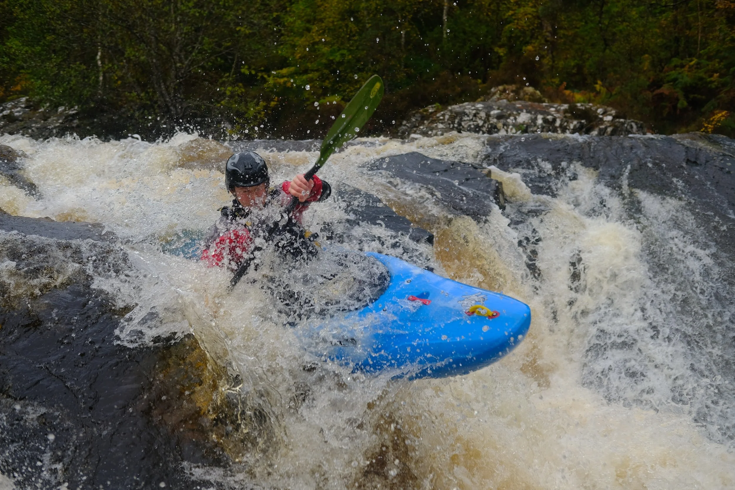
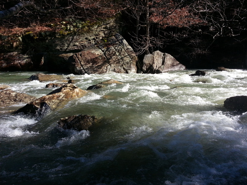
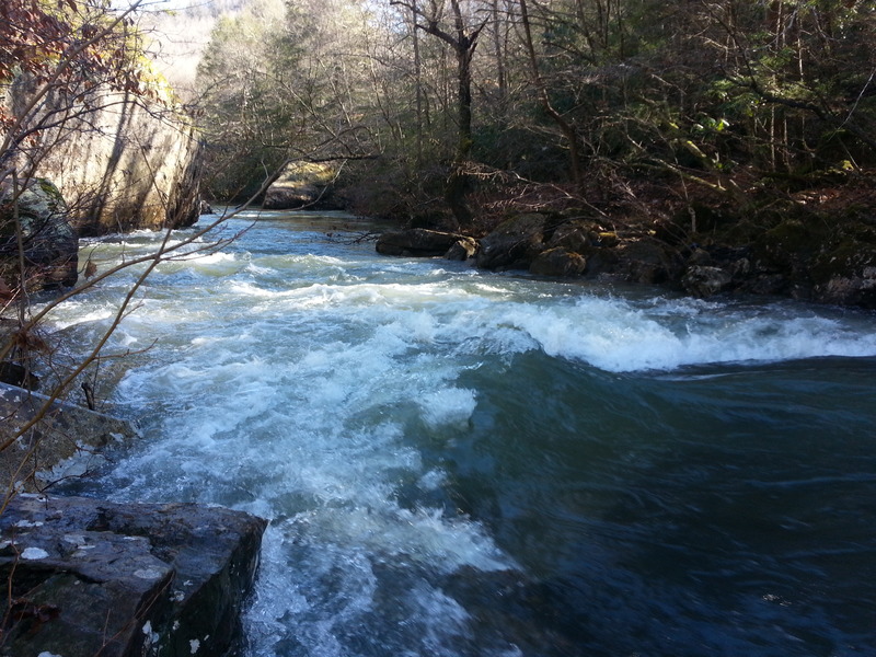
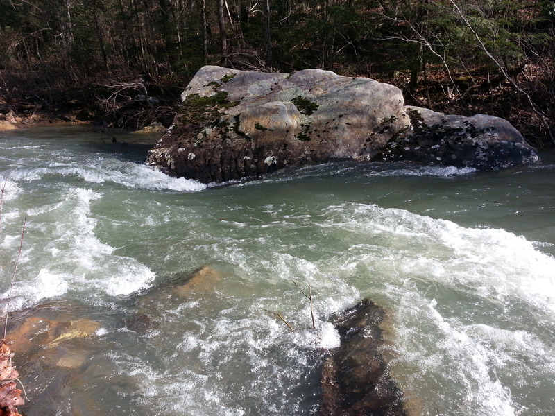
Photo

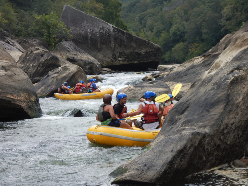
Photo courtesy of American Whitewater
Description
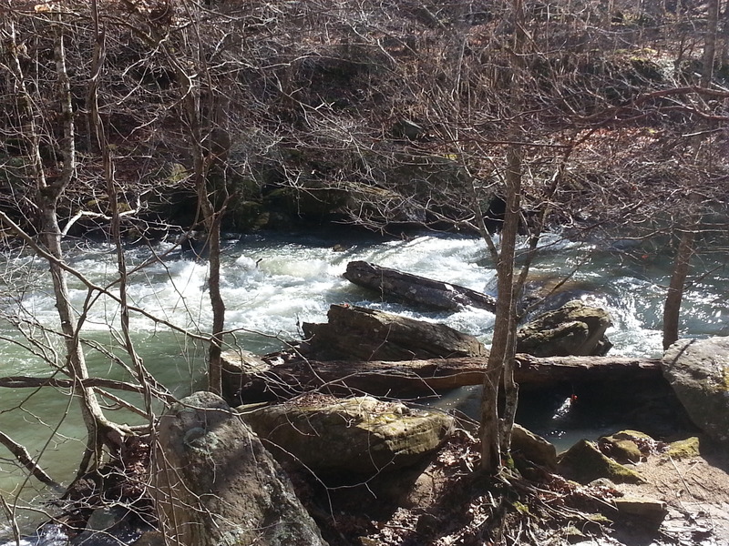
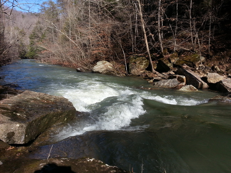
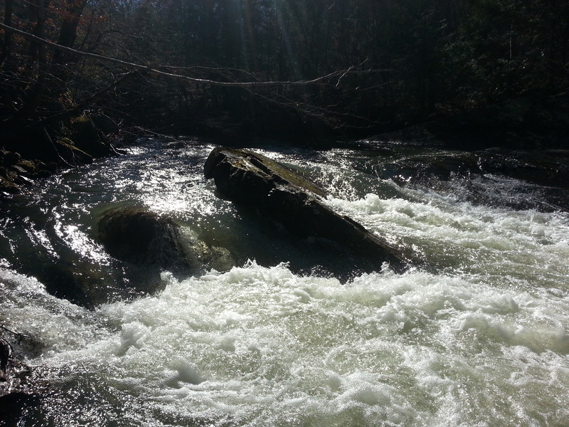
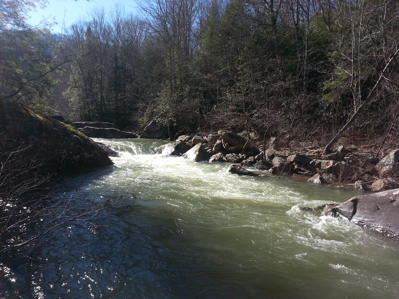
Take Out rapid offers limited information due to unclear classification, suggesting potential challenges that warrant careful scouting. Paddlers should assess water levels and potential obstacles along the Rock Creek section, particularly around the transition between Wooden Bridge and White Oak Junction. Precise navigational details are recommended to be confirmed through local paddling resources or recent river reports.
Location
View Full Run
B) Wooden Bridge to White Oak Junction (7.4 miles)
Rock Creek (Cumberland trib)
II-III
7.2 mi
Current Conditions
5-Day Forecast
Whitewater data from
American Whitewater
American Whitewater