Gauge Conditions
Data from American Whitewater & USGS
Photo
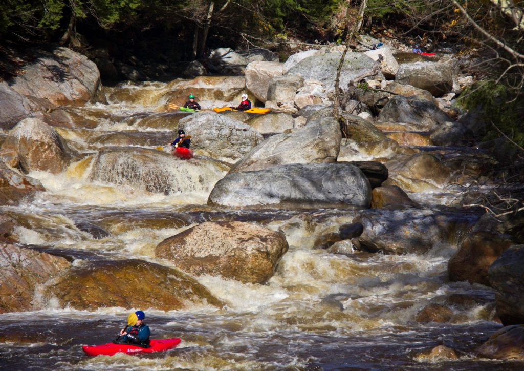
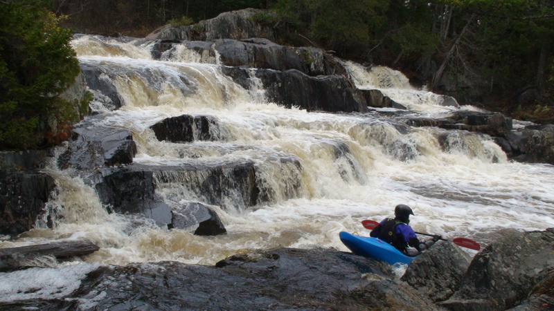
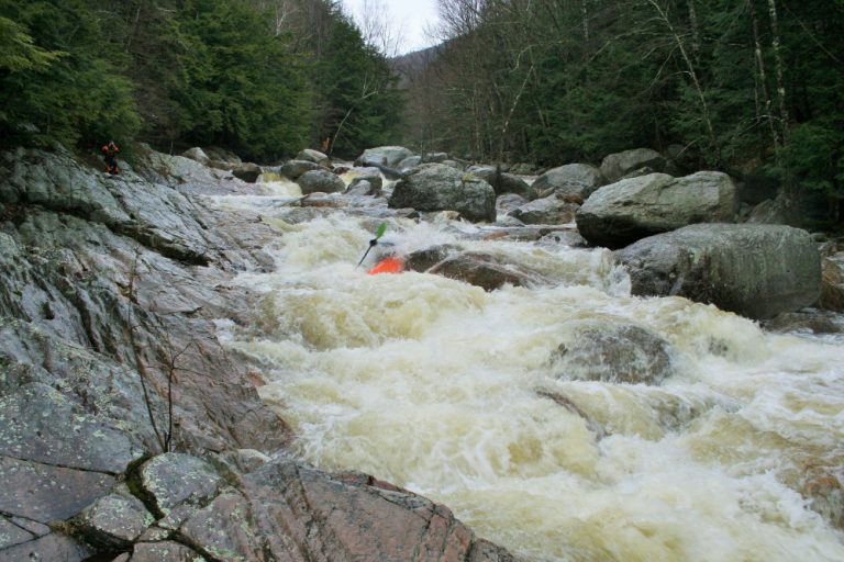
Photo courtesy of American Whitewater
Description
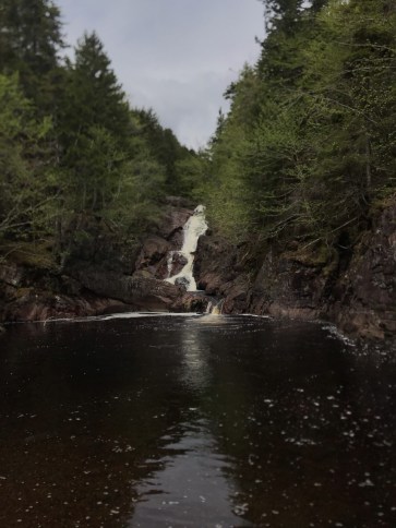
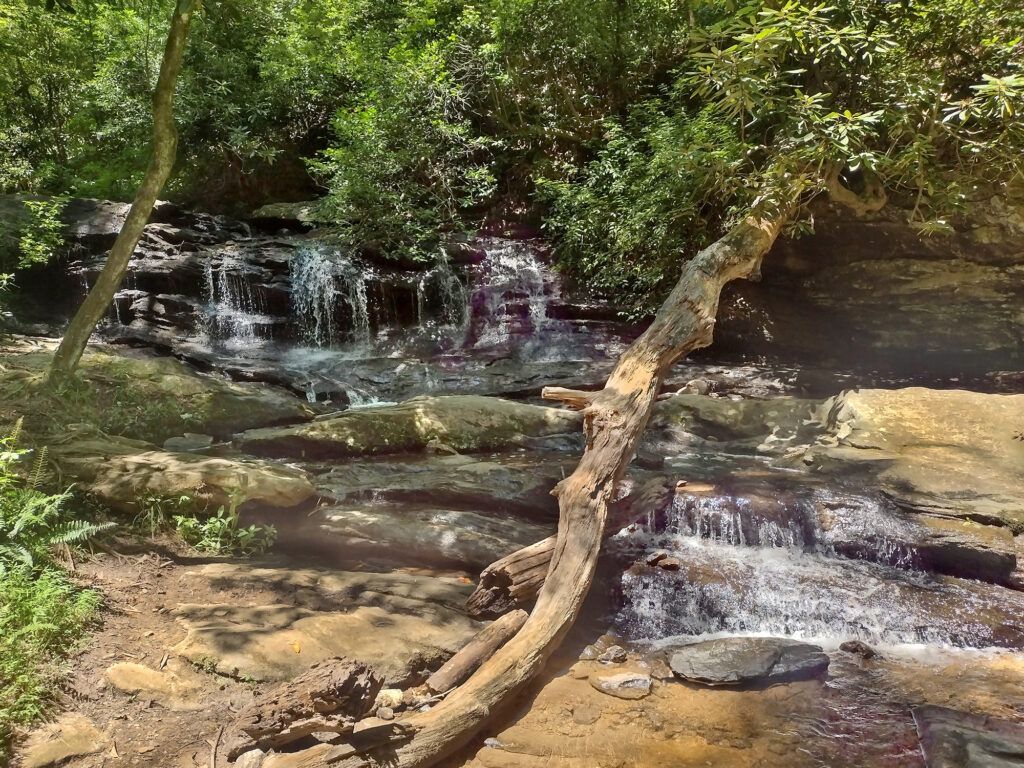
Take Out marks the end of the Gulf Hagas section, signaling the conclusion of a challenging whitewater run. While specifics are limited, paddlers should be prepared for potential hazards typical of a Maine wilderness river exit, including potential shallow areas, debris, or tight maneuvering required to reach the takeout point.
Location

View Full Run
Bear Brook to Long Pond Road (Gulf Hagas)
Pleasant, W. Branch
V
4.7 mi
Current Conditions
5-Day Forecast
Whitewater data from
American Whitewater
American Whitewater