Take-out
MN
Take Out
Save this feature with the run it belongs to.
Gauge Conditions
Runnable: ? – ? CFS
Approximate - nearest available gauge. Use as general reference only.
Data from American Whitewater & USGS
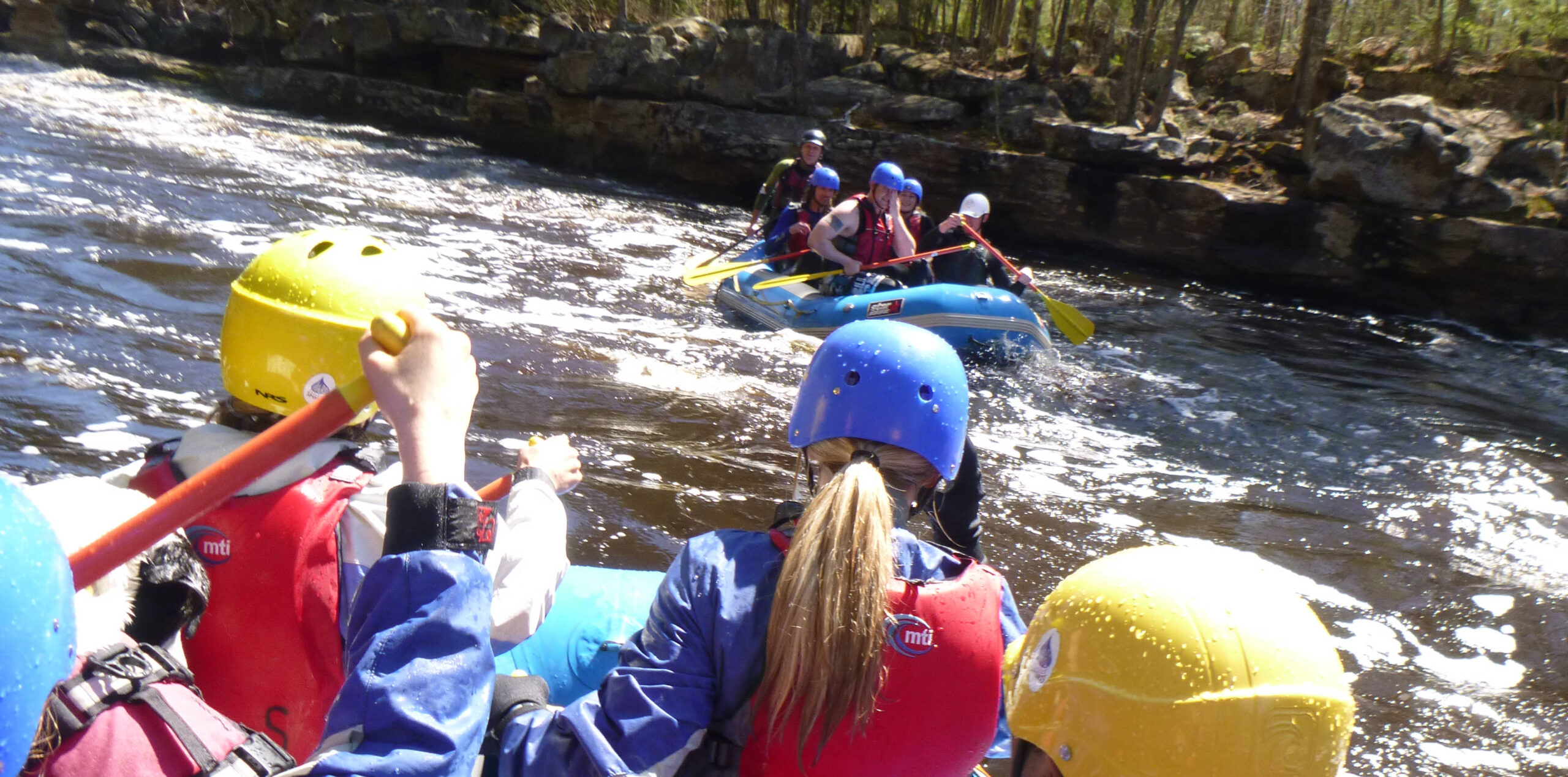
Photo

Photo courtesy of American Whitewater
Description
Take Out rapid marks the end of this Beaver River section, typically signaling a challenging transition point with potential shallow rocks and tight maneuvering near the takeout point. Paddlers should be prepared for potential boat dragging or portage depending on water levels, and carefully scout the exit to avoid unexpected obstacles or shallow areas that could impede a smooth river exit.
Location
Interactive river map
Loads as you approach this section.
Other Rapids on This Run (3)
View Full Run
C) Lax Lake Rd/CR4 to Hwy 61 (2 miles)
Beaver
IV-V+
1.8 mi
Current Conditions
5-Day Forecast
Whitewater data from
American Whitewater
American Whitewater