Take-out
NH
Take Out
Save this feature with the run it belongs to.
Gauge Conditions
Data from American Whitewater & USGS
Photo

Photo courtesy of American Whitewater
Description
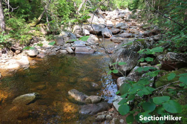
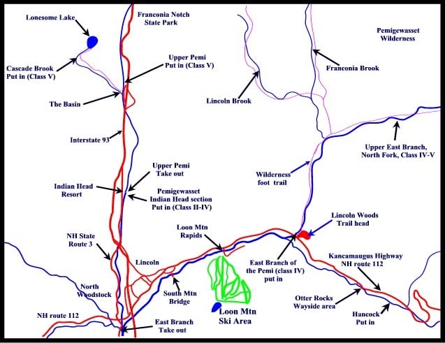
Take Out rapid marks the end of the Hancock Branch run, situated at the confluence with the East Branch. While details are sparse, the rapid likely presents final technical challenges before the river junction, potentially featuring complex water dynamics or boulder-strewn sections that demand precise boat positioning and careful line selection.
Location
Interactive river map
Loads as you approach this section.
Other Rapids on This Run (2)
View Full Run
Cheney Trail–East Branch Confluence
Pemigewasset, Hancock Branch
V
4.0 mi
Current Conditions
5-Day Forecast
Whitewater data from
American Whitewater
American Whitewater