Take-out
WI
Take Out
Save this feature with the run it belongs to.
Gauge Conditions
Runnable: ? – ? CFS
Approximate - nearest available gauge. Use as general reference only.
Data from American Whitewater & USGS
Photo
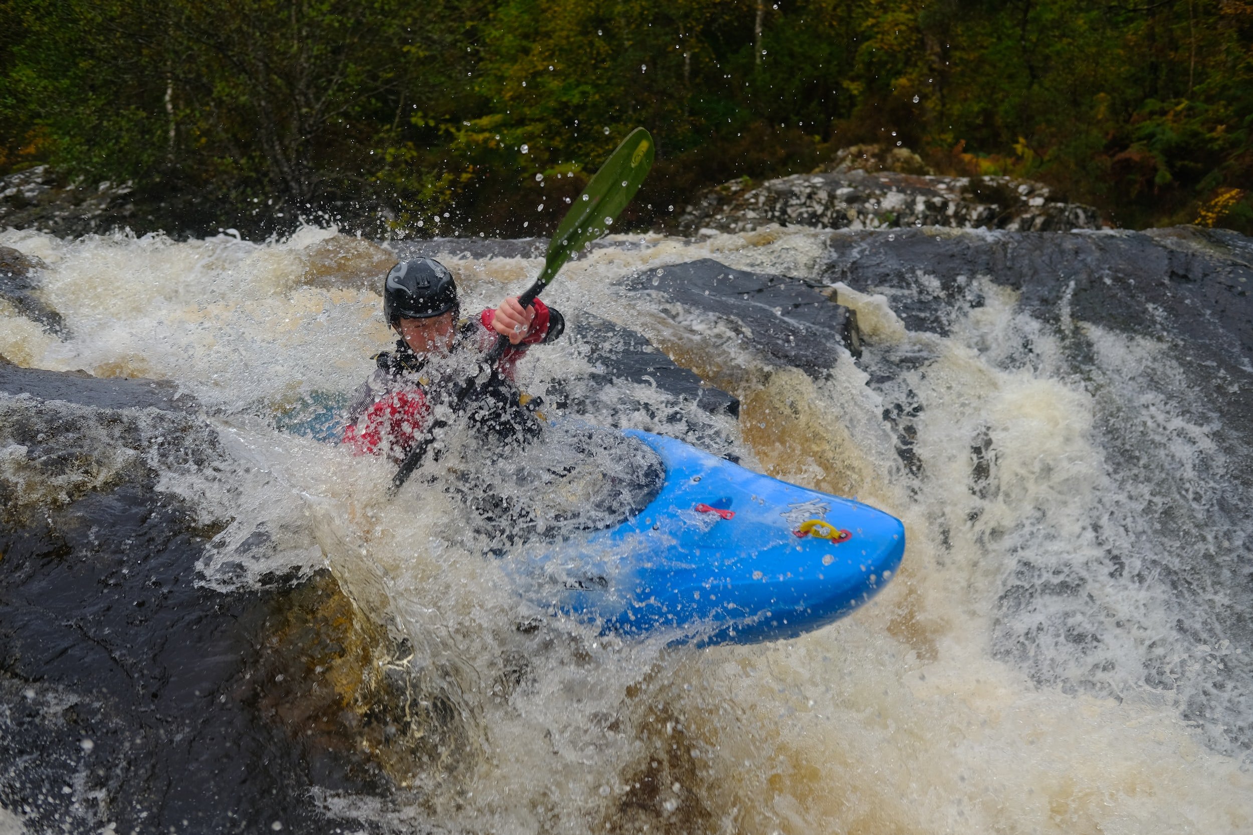
Photo courtesy of American Whitewater
Description
Take Out marks the end of the Goodman Park to Otter Creek section, serving as a critical exit point for paddlers completing this run. While specifics about the rapid's features are limited, its location suggests careful navigation is required when transitioning from the river to the takeout area, potentially involving maneuvering around potential obstacles or managing river flow near the exit point.
Location
Interactive river map
Loads as you approach this section.
Other Rapids on This Run (3)
View Full Run
D) Goodman Park to Otter Creek (8.9 miles)
Peshtigo
I-II
9.0 mi
Current Conditions
5-Day Forecast
Whitewater data from
American Whitewater
American Whitewater