Take-out
CO
Take Out
Save this feature with the run it belongs to.
Gauge Conditions
Runnable: ? – ? CFS
Approximate - nearest available gauge. Use as general reference only.
Data from American Whitewater & USGS
Photo
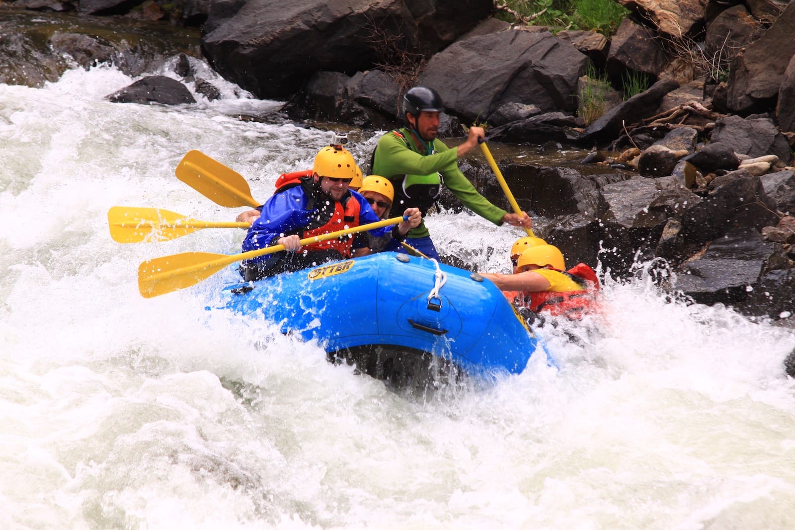
Photo courtesy of American Whitewater
Description
Take Out marks the terminal rapid on this remote stretch of Trout Creek, signaling the end of the wilderness run through the Flat Tops. Limited beta exists on this section, suggesting potential for unrunnable or marginal conditions depending on water levels, with paddlers advised to scout thoroughly and have a solid bailout plan.
Location
Interactive river map
Loads as you approach this section.
Other Rapids on This Run (2)
View Full Run
Dunckley - Flat Tops Wilderness
Trout Creek
III+(IV)
5.3 mi
Current Conditions
5-Day Forecast
Whitewater data from
American Whitewater
American Whitewater