Take-out
NC
Take-Out: Nantahala River Launch SIte
Save this feature with the run it belongs to.
Gauge Conditions
Data from American Whitewater & USGS
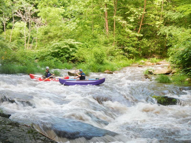
Photo

Photo courtesy of American Whitewater
Description
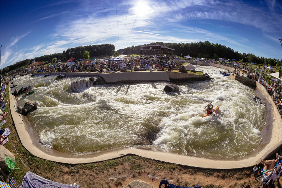
The Take-Out rapid marks the end of the Upper Nantahala section, featuring a narrow exit point with potential hydraulic features that can challenge paddlers during varying water levels. Boaters should be aware of potential debris and rocky conditions near the river right launch site, and carefully scout the exit approach to ensure a clean line and safe takeout.
Location
Interactive river map
Loads as you approach this section.
Other Rapids on This Run (10)


View Full Run
2.Upper, Route 1310 Bridge to Hwy. 19
Nantahala
III+(IV)
3.3 mi
Current Conditions
5-Day Forecast
Whitewater data from
American Whitewater
American Whitewater