Take-out
SC
Take Out
Save this feature with the run it belongs to.
No sufficiently local live gauge linked. 1 automated match was excluded because locality could not be verified. Use the parent run and local sources before making a trip decision.
Photo
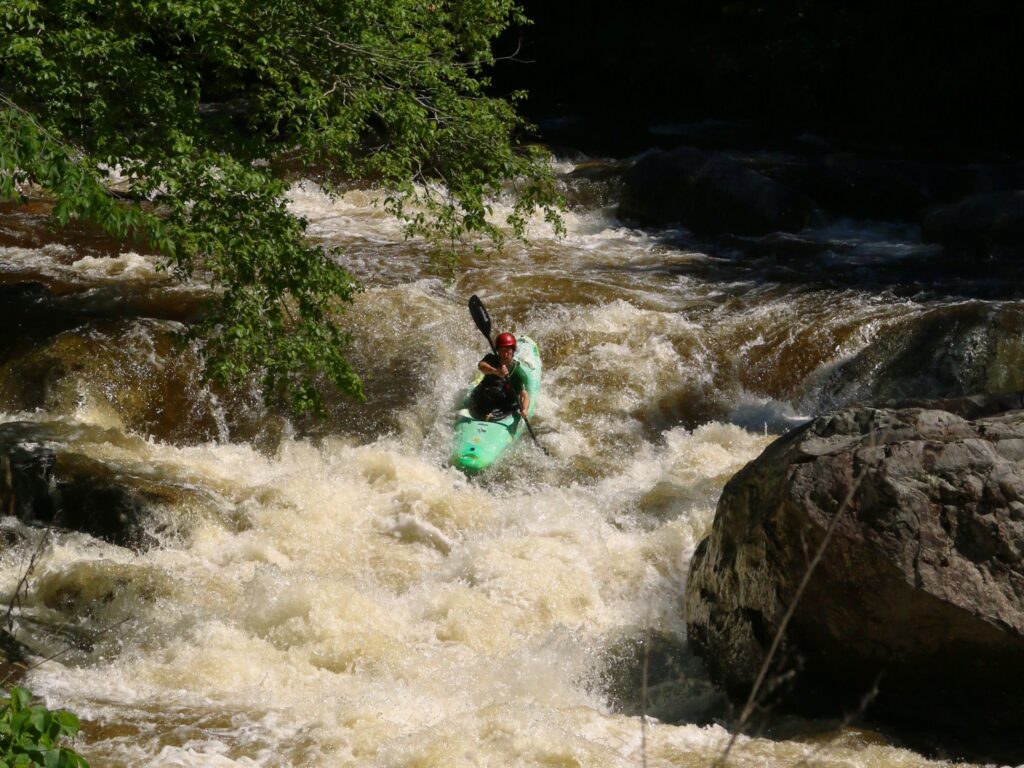
Photo courtesy of American Whitewater
Description
Take Out rapid at the end of the Eighteenmile Creek run serves as the final navigation challenge before exiting the river at US 76, marked by a potential congestion of river flow and possible debris accumulation. Paddlers should be prepared for potential tight maneuvering and potential hazards near the takeout point, maintaining heightened awareness as they approach the transition from river to roadside access.
Location
Interactive river map
Loads as you approach this section.
Other Rapids on This Run (3)
View Full Run
Nettles Park to US 76
Eighteenmile Creek
I(II)
2.2 mi
Current Conditions
5-Day Forecast
Whitewater data from
American Whitewater
American Whitewater