Take-out
GA
Take Out
Save this feature with the run it belongs to.
Gauge Conditions
Data from American Whitewater & USGS
Photo
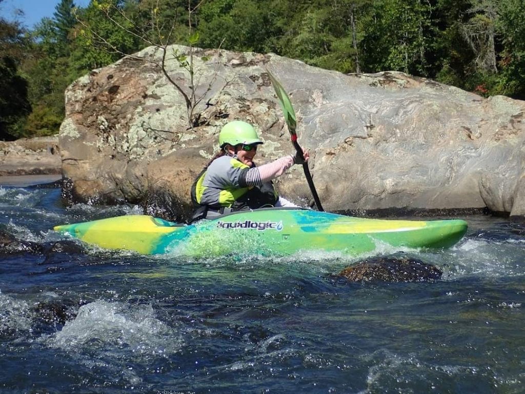
Photo courtesy of American Whitewater
Description
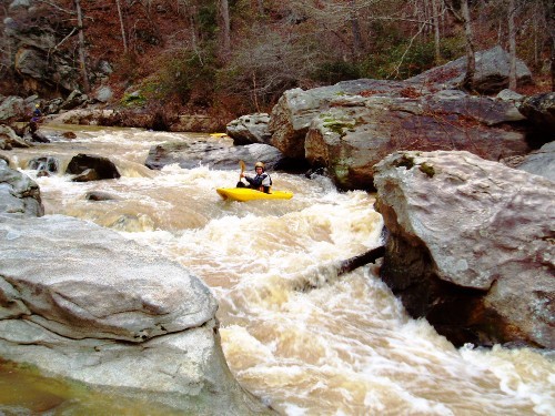
Take Out marks the terminal rapid before the confluence with the Chattahoochee, characterized by a tight channel with potential for pinning hazards between scattered boulder clusters. Paddlers should approach with caution, maintaining a precise line through the narrowing streambed and being alert for submerged rocks that can create unexpected hydraulics during varying water levels.
Location
Interactive river map
Loads as you approach this section.
Other Rapids on This Run (12)
 Rapid
N/A
Rapid
N/A
Put In
 Rapid
II
Rapid
II
What rapids?
Rapid
II
Infinity
 Waterfall
IV+
Waterfall
IV+
First Slide
 Waterfall
IV
Waterfall
IV
Second Slide
Rapid
III+
Third Slide
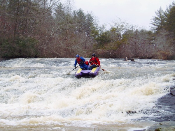 Rapid
III+
Rapid
III+
Fourth Slide
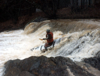 Hazard
IV+
Hazard
IV+
The Ledge
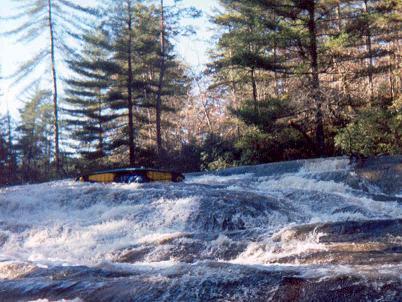 Waterfall
IV+
Waterfall
IV+
Over the bars aka The big slide
Rapid
III+
Big Snake
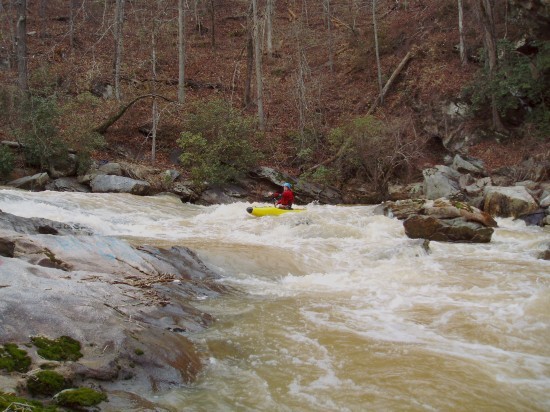 Rapid
III+
Rapid
III+
Confederate Flag
 Hazard
III+
Hazard
III+
The S-Turn Undercut
View Full Run
New Bridge Road to Chattahoochee River
Mossy Creek
III-IV
6.6 mi
Current Conditions
5-Day Forecast
Whitewater data from
American Whitewater
American Whitewater