Gauge Conditions
Runnable: 400.0 – 2,000.0 CFS
Likely too low (under 150 cfs.). (Must be confirmed by visual inspection.)
Data from American Whitewater & USGS
Photo
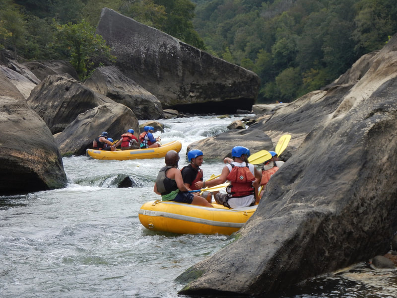
Photo courtesy of American Whitewater
Description
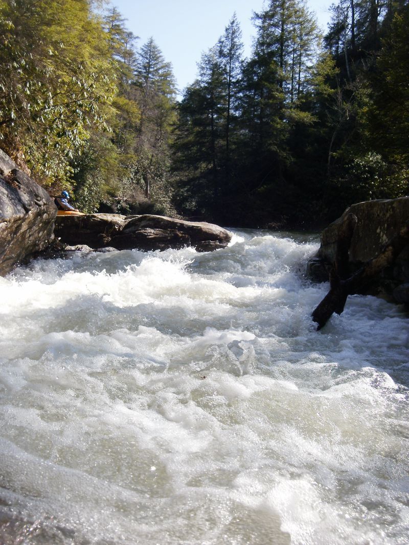
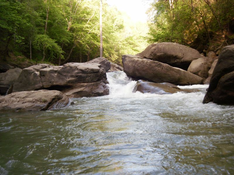
Take Out marks the end of the Cane Creek run, requiring careful navigation through a tight, boulder-strewn exit that demands precise boat control and route selection. Paddlers should be alert for potential pin hazards among the rocks and plan their line carefully to avoid getting wedged or trapped in the narrow constriction.
Location
View Full Run
Rooks Rd. to Bee Rock (6 miles)
Cane Creek
IV
6.2 mi
Current Conditions
5-Day Forecast
Whitewater data from
American Whitewater
American Whitewater