Take-out
NC
Take Out
Save this feature with the run it belongs to.
Gauge Conditions
Runnable: 2.7 – 5.0 FT
This is a new gage. At three feet I had a nice run and never scraped the bottom or hit any rocks. Please add runs at higher flows to comment section, as 5 feet
Data from American Whitewater & USGS
Photo

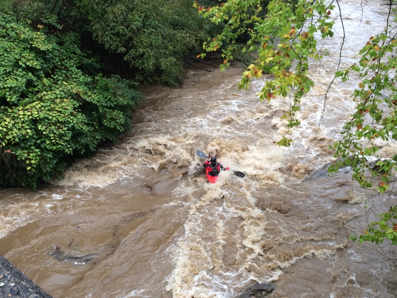
Photo courtesy of American Whitewater
Description
Take Out marks the final stretch before the confluence with the French Broad River, characterized by a broad, shallow approach with potential for rock dodging and route selection. Paddlers should be prepared for potential low-water conditions and scattered boulder gardens that can create unpredictable hydraulics, particularly during late summer flows.
Location
Interactive river map
Loads as you approach this section.
Other Rapids on This Run (5)
View Full Run
Sand Hill Road to French Broad River
Hominy Creek
II+
6.8 mi
Current Conditions
5-Day Forecast
Whitewater data from
American Whitewater
American Whitewater