Take-out
CA
Take Out
Save this feature with the run it belongs to.
Gauge Conditions
Data from American Whitewater & USGS
CDEC Flow Data California
Data from California Data Exchange Center (CDEC)
Photo
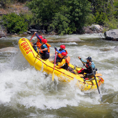
Photo courtesy of American Whitewater
Description
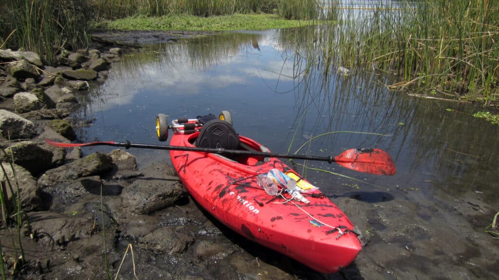
Take Out rapid marks the end of the Sunol run on Alameda Creek, characterized by a series of low-water boulder gardens and potential debris from local runoff. While typically more of a navigational challenge than a technical whitewater feature, paddlers should be aware of potential strainers and shifting rock placement, especially during low flow periods. Scout carefully and be prepared for potential portage or walk-around options depending on current water conditions.
Location
Interactive river map
Loads as you approach this section.
Other Rapids on This Run (4)
View Full Run
Sunol to Niles Junction near Fremont
Alameda Creek
III
5.0 mi
Current Conditions
5-Day Forecast
Whitewater data from
American Whitewater
American Whitewater