Take-out
GA
Take Out
Save this feature with the run it belongs to.
Gauge Conditions
Data from American Whitewater & USGS
Photo

Photo courtesy of American Whitewater
Description
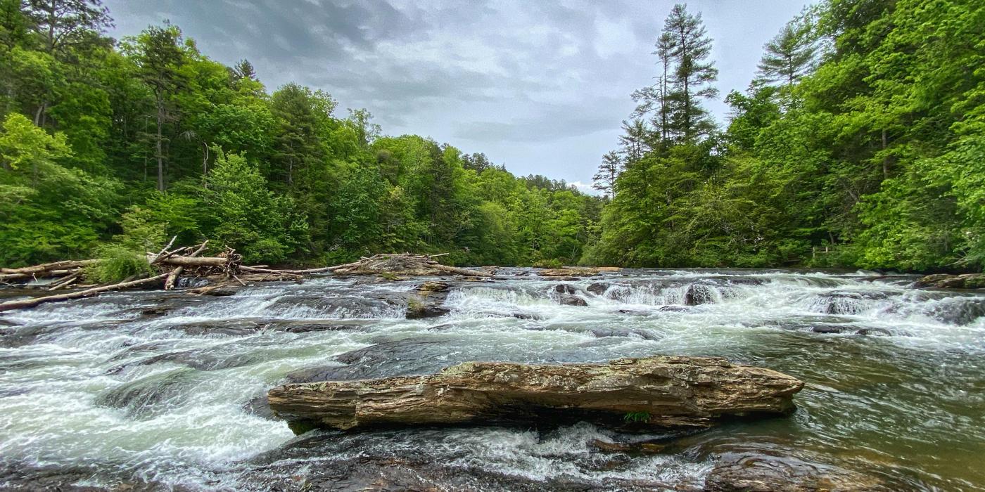
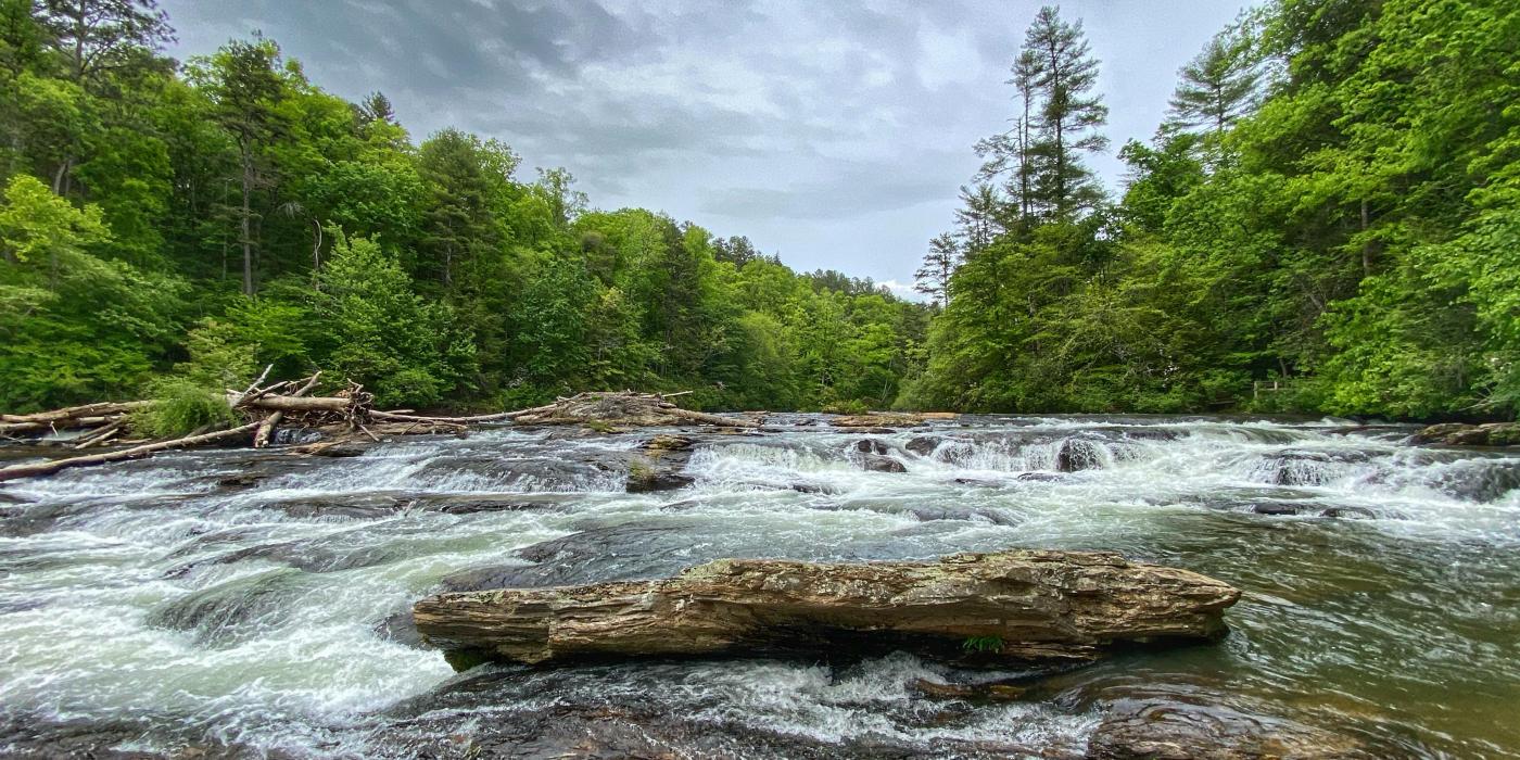
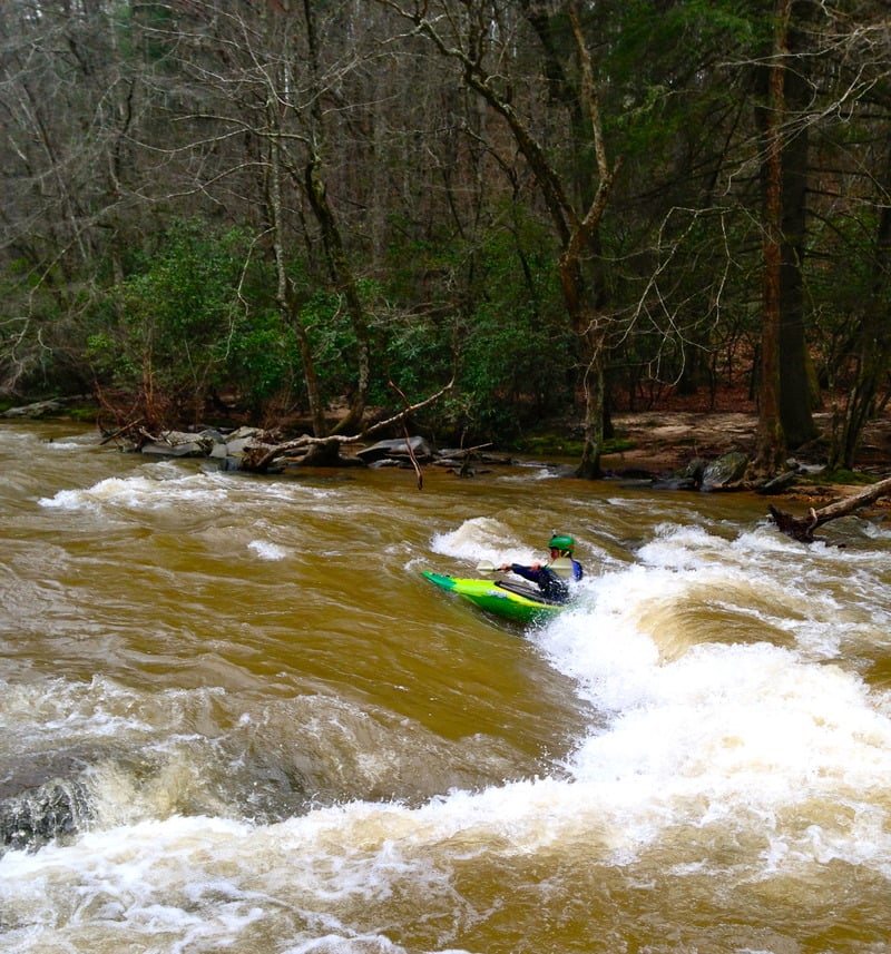
The Take Out on Amicalola Creek's upper section serves as a critical exit point for paddlers after navigating the preceding rapids. Positioned adjacent to Highway 53, this take-out offers a straightforward egress point with roadside access, allowing boaters to safely exit the river and retrieve their vehicles after a run.
Location

View Full Run
Upper
Amicalola Creek
II-III
10.7 mi
Current Conditions
5-Day Forecast
Whitewater data from
American Whitewater
American Whitewater