Take-out
AK
Take Out
Save this feature with the run it belongs to.
Gauge Conditions
Runnable: ? – ? CFS
Approximate - nearest available gauge. Use as general reference only.
Data from American Whitewater & USGS
Photo
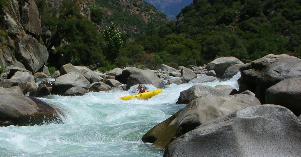
Photo courtesy of American Whitewater
Description
Take Out rapid is a transition point marking the end of a challenging river segment, requiring careful navigation through potential debris and uneven water flow. Paddlers should be prepared for potential shifting channels and submerged obstacles that can complicate the final approach to the takeout point.
Location
Other Rapids on This Run (1)

View Full Run
Upper Kings to Glenn Highway
Kings
V+
20.9 mi
Current Conditions
5-Day Forecast
Whitewater data from
American Whitewater
American Whitewater