Take-out
VA
Take Out - VA. 827 ('Perkins Mill Rd')
Save this feature with the run it belongs to.
Gauge Conditions
Runnable: 450.0 – 1,000.0 CFS
400 to 450 is a good guide to minimum flow. The upper range of flow will, of course, vary depending on individual groups' skill level and disposition.
Data from American Whitewater & USGS
Photo
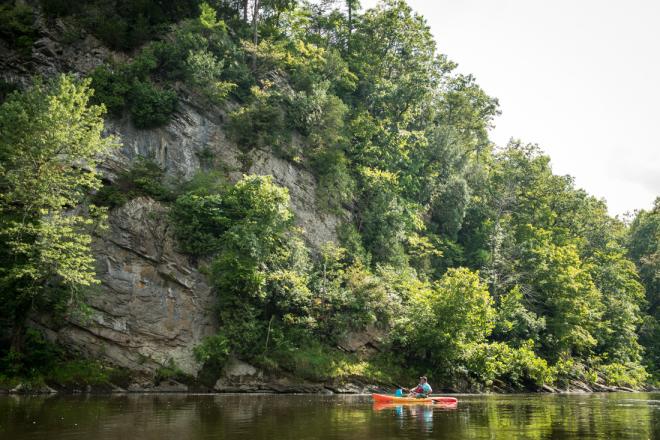
Photo courtesy of American Whitewater
Description
Take Out is a transition point marking the end of the Piney River run, characterized by a wide, relatively flat water section where paddlers typically exit the river near the VA. 827 bridge. While not a technically challenging rapid, boaters should be aware of potential shallow areas, submerged rocks, and potential strainers near the riverbank that could impact boat positioning during takeout.
Location
Interactive river map
Loads as you approach this section.
View Full Run
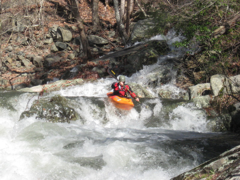
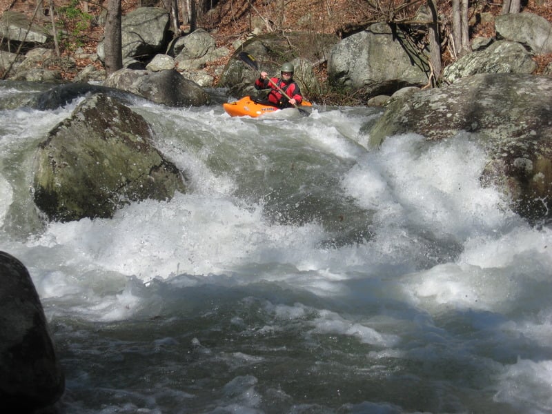
1.) The "Big Piney" (Alhambra to VA. 827 ['Perkins Mill Rd'] Woodson)
Piney River (Nelson County)
III-IV
3.5 mi
Current Conditions
5-Day Forecast
Whitewater data from
American Whitewater
American Whitewater