The Cleaver
Save this feature with the run it belongs to.
Gauge Conditions
Data from American Whitewater & USGS
Photo
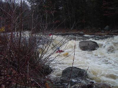
Photo courtesy of American Whitewater
Description
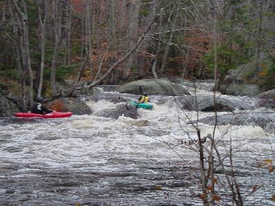
The Cleaver is the final drop on a rather long stretch of mostly class III and IV rapids. This one is difficult to scout from the river bank because of the steep bank and lack of eddies above. It is easily scouted from the takeout and route 9 which follows on river right. The best route to take over the Cleaver is about 8' from the river right bank. From here you will drop a few vertical feet. Do not run the center because the water piles up behind and under the enormous cleaver boulder. The run on river left is possible but is more difficult than the right side.
Location
Interactive river map
Loads as you approach this section.
Other Rapids on This Run (5)
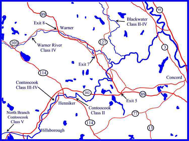
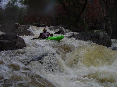
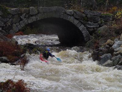
View Full Run
Route 9 & 123 to Hillsboro Fire Sta
Contoocook, N. Branch
V
8.0 mi
Hazard — Exercise extreme caution in this area.
Current Conditions
5-Day Forecast
Whitewater data from
American Whitewater
American Whitewater