Tweedledum Tweedledee
Save this feature with the run it belongs to.
Gauge Conditions
Runnable: 650.0 – 5,500.0 CFS
This level is just an estimate at this time, as more information comes in we will update the range.
Data from American Whitewater & USGS
Description
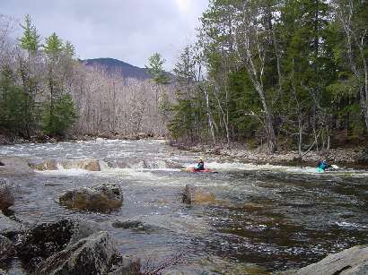
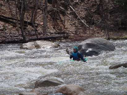
Shortly after Sawyer's Rock rapid comes the biggest drop on this portion of the Saco. The river splits around a mid stream island the right channel is usually not passible except under high water conditions. The left channel drops steeply and contains much turbulance amoung the waves and holes. The best route is just right of center skirting the largest holes on river left formed by the Tweedledum and Tweedledee boulders.
Scouting GroupPhoto of Vicky, Buffer, Steve, and Terry at Tweedledum Tweedledee by Kate Hartland taken 5/12/07 @ 1.1'
Scouting GroupPhoto of Vicky, Buffer, Steve, and Terry at Tweedledum Tweedledee by Kate Hartland taken 5/12/07 @ 1.1'
Location
Interactive river map
Loads as you approach this section.
Other Rapids on This Run (4)
View Full Run
1.) Crawford Notch to Bartlett (along Hwy 302)
Saco River
III-IV
6.3 mi
Current Conditions
5-Day Forecast
Whitewater data from
American Whitewater
American Whitewater