Rapid
MN
USGS sampling site
Save this feature with the run it belongs to.
Gauge Conditions
Runnable: ? – ? CFS
Approximate - nearest available gauge. Use as general reference only.
Data from American Whitewater & USGS
Photo
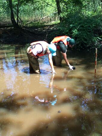
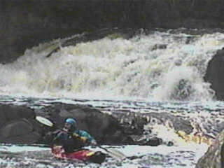
Photo courtesy of American Whitewater
Description
A USGS site at this location lists drainage area of 140 square miles (which ranks this third-largest among North Shore rivers which have USGS sites, behind Brule at 264, and Temperance at 185 sq.mi.).
Location
Interactive river map
Loads as you approach this section.
View Full Run
B) Eckbeck campground to Lake Superior (4 miles)
Baptism
II-V
3.8 mi
Current Conditions
5-Day Forecast
Whitewater data from
American Whitewater
American Whitewater