Take-out
ID
White Pine Access, Take-Out
Save this feature with the run it belongs to.
Gauge Conditions
Runnable: 2.0 – 10.0 FT
Flow range for best boatability uncertain. Please help your fellow boaters with a comment or report.
Data from American Whitewater & USGS
Photo
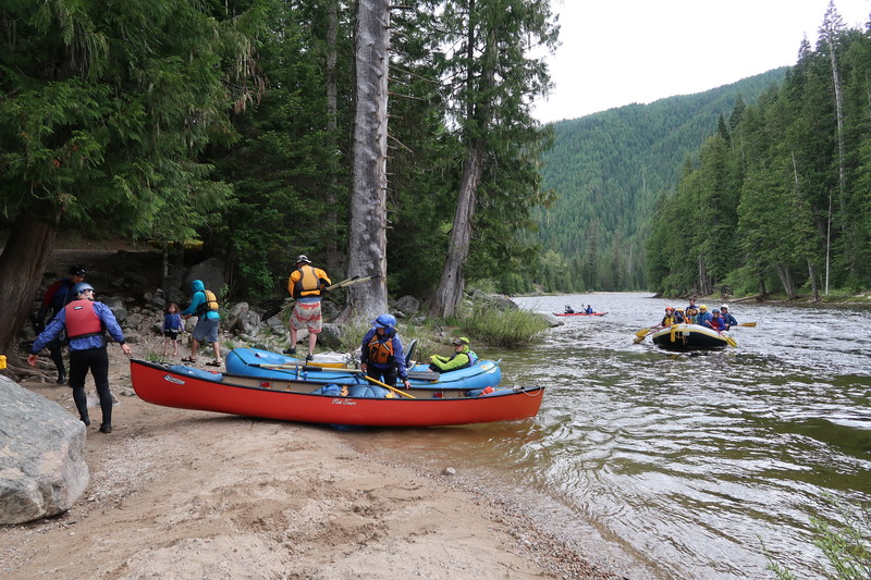
Photo courtesy of American Whitewater
Description
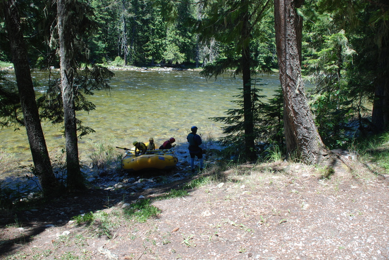
Access on river right. A narrow road heads down to the river but there is ample parking for several vehicles up at the highway pull-out. Highway Mile 138.5.
Location
Interactive river map
Loads as you approach this section.

View Full Run
1 - Powell to White Pine (Indian Grave Creek)
Lochsa
II-III
26.0 mi
Current Conditions
5-Day Forecast
Whitewater data from
American Whitewater
American Whitewater