Wolf Rapids (Pismire Falls)
Save this feature with the run it belongs to.
Gauge Conditions
Runnable: ? – ? CFS
Approximate - nearest available gauge. Use as general reference only.
Data from American Whitewater & USGS
Photo
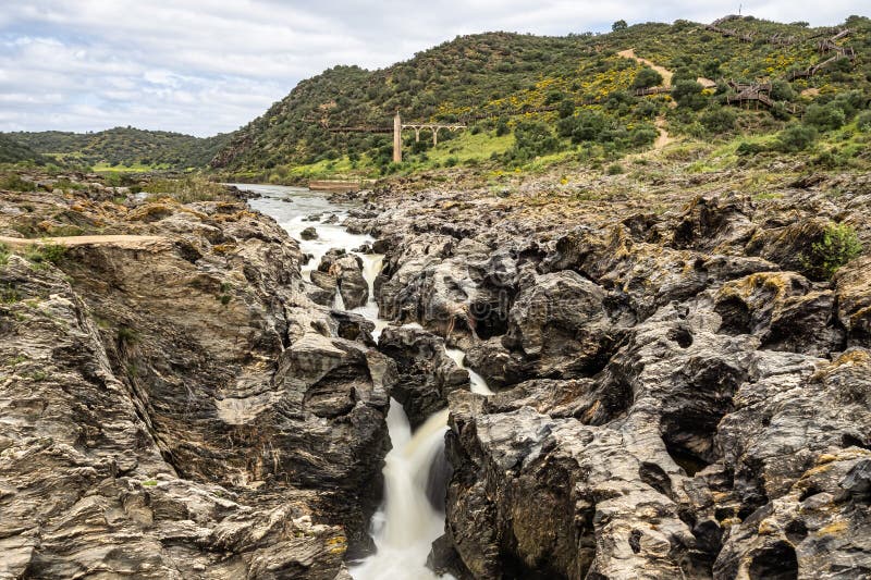
Photo courtesy of American Whitewater
Description
Marked on topo maps as "Wolf Rapids", I'm pretty sure this is what boaters refer to as Pismire Falls. (Not sure what inspired that rapid name. Pismire is middle-English or Scandinavian for an ant.)
A river-wide ledge just below the County WW bridge creates a nasty hole at the bottom (one of the most aggressive holes on the Wolf). Scouting is recommended. About two miles of flatwater from here gets you to the Otter Slide take-out.
Location
Interactive river map
Loads as you approach this section.
View Full Run
E) Gilmore's Mistake to Otter Slide ** Access Fee ** (5.9 miles)
Wolf
II(III)
5.8 mi
Current Conditions
5-Day Forecast
Whitewater data from
American Whitewater
American Whitewater