Rapid
IL
Zig-Zag Rock Rubble
Save this feature with the run it belongs to.
Gauge Conditions
Data from American Whitewater & USGS
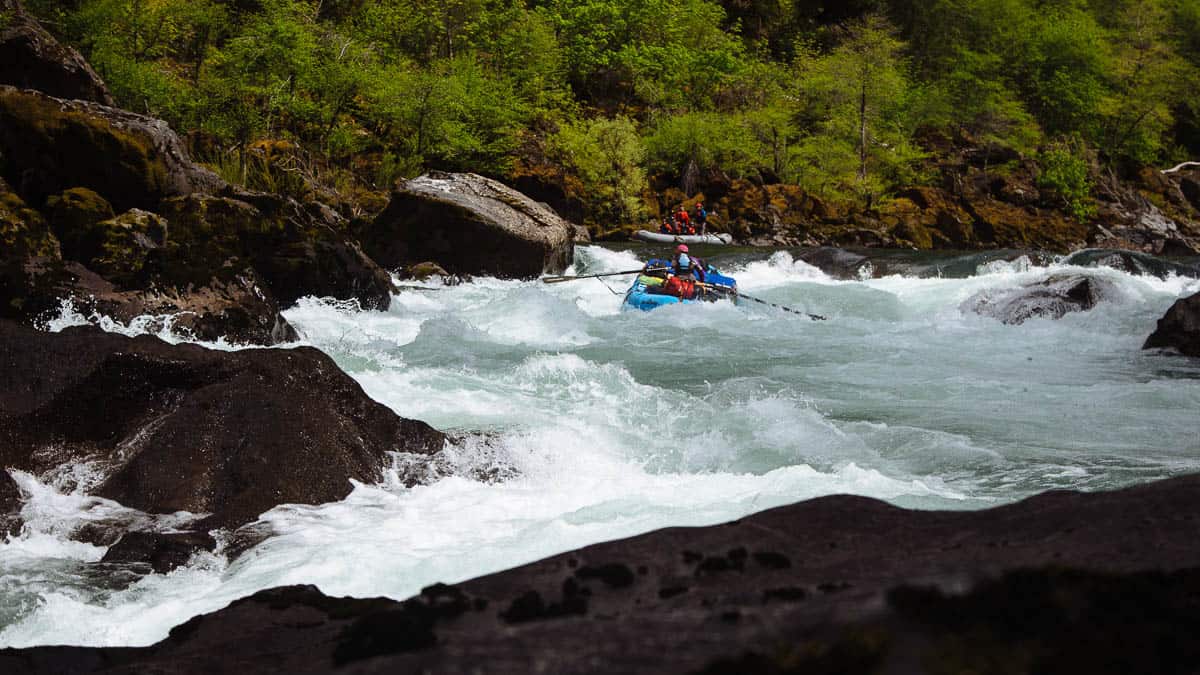
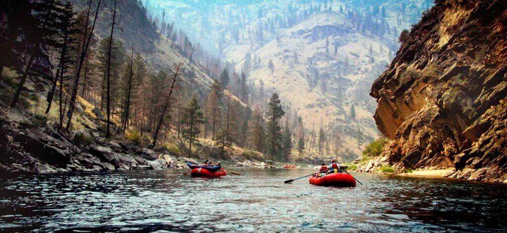
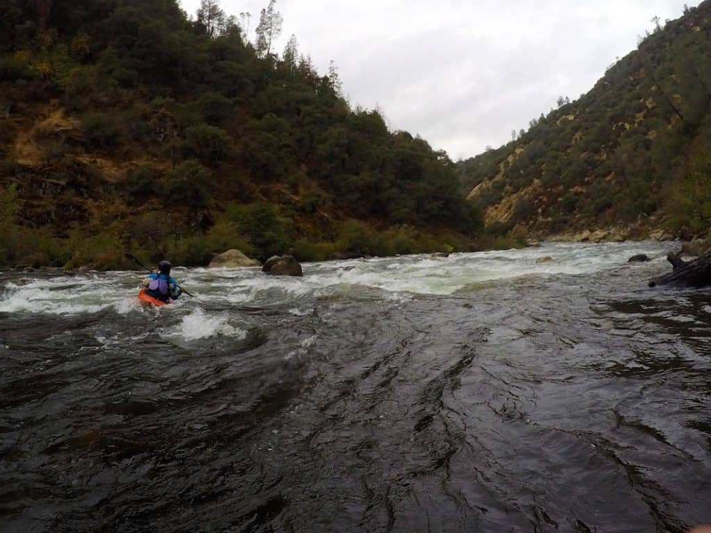
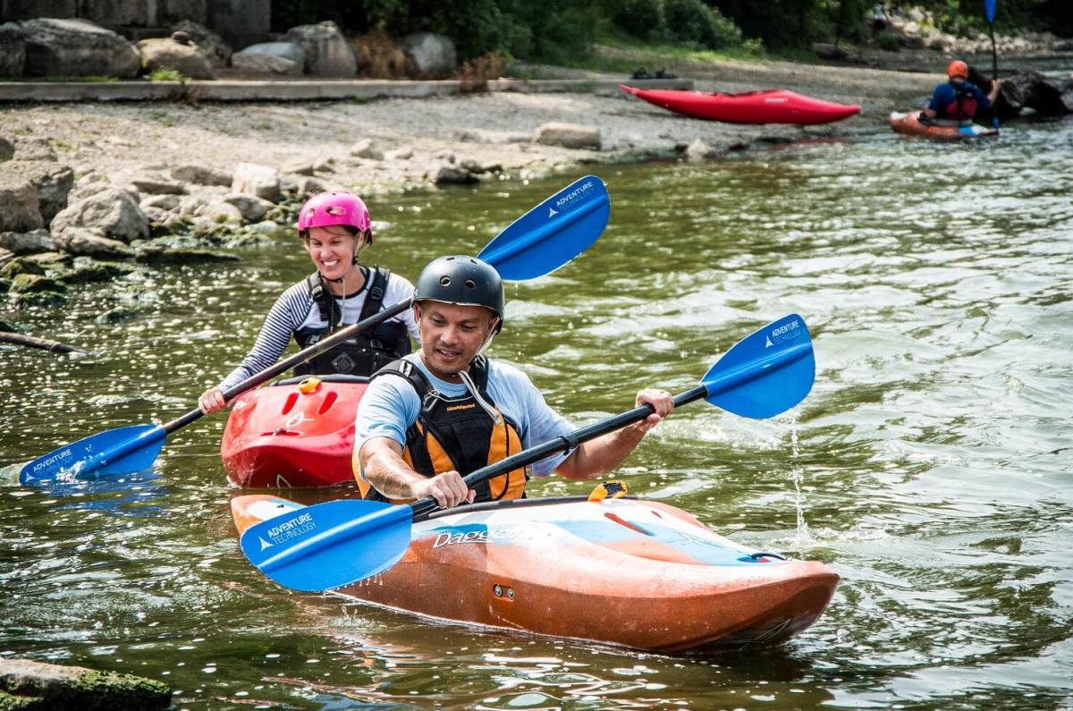
Photo
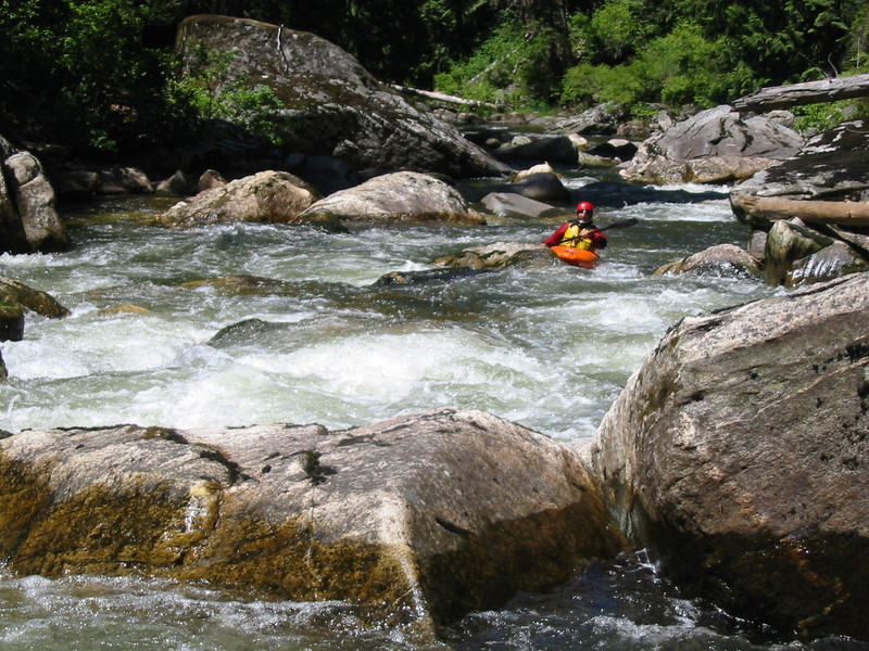
Photo courtesy of American Whitewater
Description
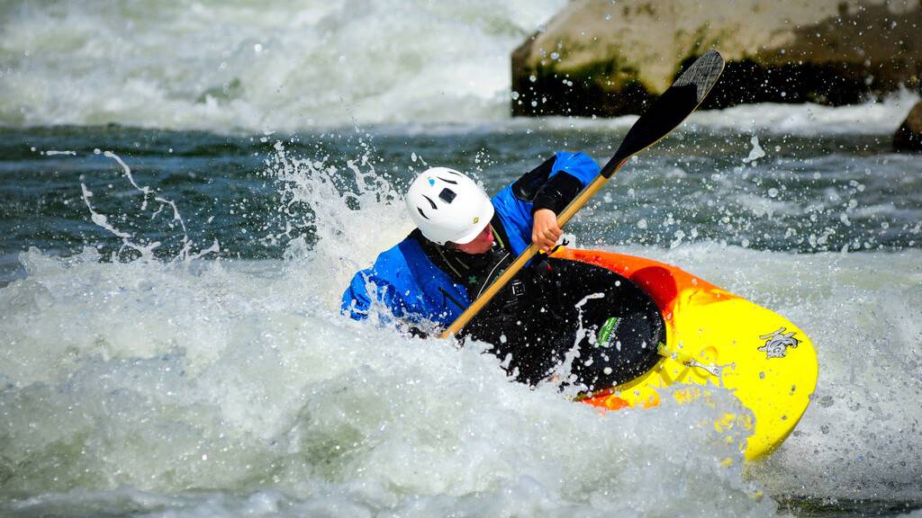
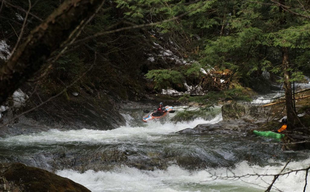
Zig-Zag Rock Rubble presents a technical navigation challenge with a scattered field of mid-stream and shoreline boulders that demand precise boat control and strategic maneuvering. Paddlers must carefully thread between irregular rock formations, maintaining a tight line to avoid potential pin hazards and unexpected hydraulics created by the uneven riverbed. While the rapid's difficulty may vary with water levels, careful scouting is recommended to identify the cleanest route and assess potential obstacles.
Location
Other Rapids on This Run (16)
 Rapid
N/A
Rapid
N/A
Drainage: ~46 sq.mi.
 Rapid
N/A
Rapid
N/A
Put In
 Playspot
II+
Playspot
II+
Constriction/pour-over
 Rapid
N/A
Rapid
N/A
Bolcum Road
 Rapid
N/A
Rapid
N/A
First Golf Cart Bridge
 Waterfall
II+
Waterfall
II+
Pour-over (possibly removed)
 Rapid
N/A
Rapid
N/A
Second Golf Cart Bridge
 Rapid
N/A
Rapid
N/A
Private Bridge
 Rapid
N/A
Rapid
N/A
Woodgate Road Bridge
 Rapid
N/A
Rapid
N/A
Private Bridge
 Rapid
N/A
Rapid
N/A
Minor rubble/dam?
 Rapid
N/A
Rapid
N/A
Babson Lane Bobble
 Rapid
N/A
Rapid
N/A
Minor pourover/dam?
 Waterfall
II+
Waterfall
II+
Pour-over
 Rapid
N/A
Rapid
N/A
Take Out
 Rapid
N/A
Rapid
N/A
Alternate take-out
View Full Run
St.Charles: Burr Road to Leroy Oaks Forest Preserve (4.7-5.0 miles)
Ferson Creek
I-II(III)
4.8 mi
Current Conditions
5-Day Forecast
Whitewater data from
American Whitewater
American Whitewater