Access Sites in Louisiana
Find mapped boat ramps, launches, and public water access points across the United States.
700
Total Sites
24
Loaded
1
Regions
Map view
Explore nearby access
Pan or zoom to load the sites in view, then open a marker for details and directions.
Interactive access map
Loads after the directory is visible.
Loading...
Navigation Tips
- Zoom in to load more sites in your area of interest
- Click on clusters (numbered circles) to zoom into that area
- Click on individual markers for site details and directions
- Use scroll wheel or pinch to zoom, drag to pan
Directory results
Loaded access sites
The list reflects the current page and can be narrowed with the search field.
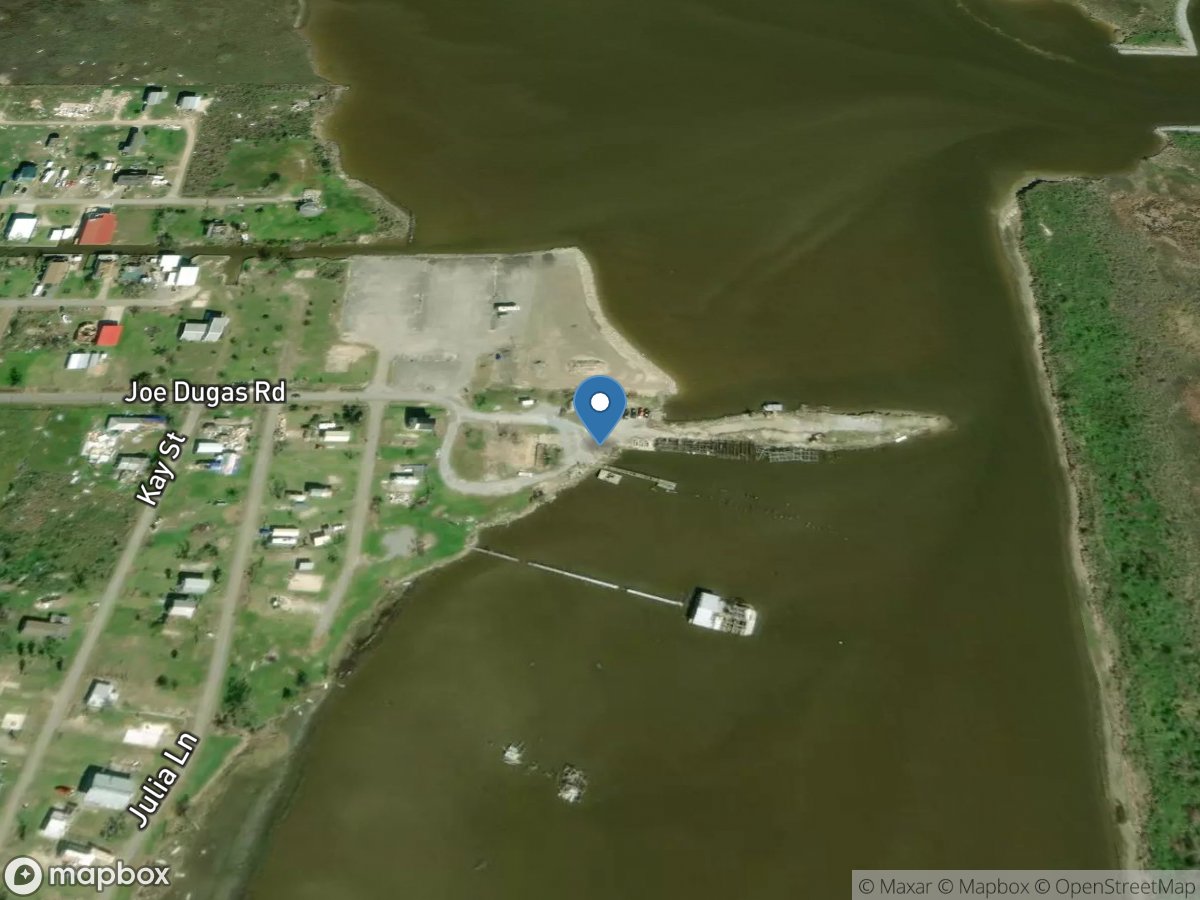
Dugas Landing
Access Site
Calcasieu Ship Channel
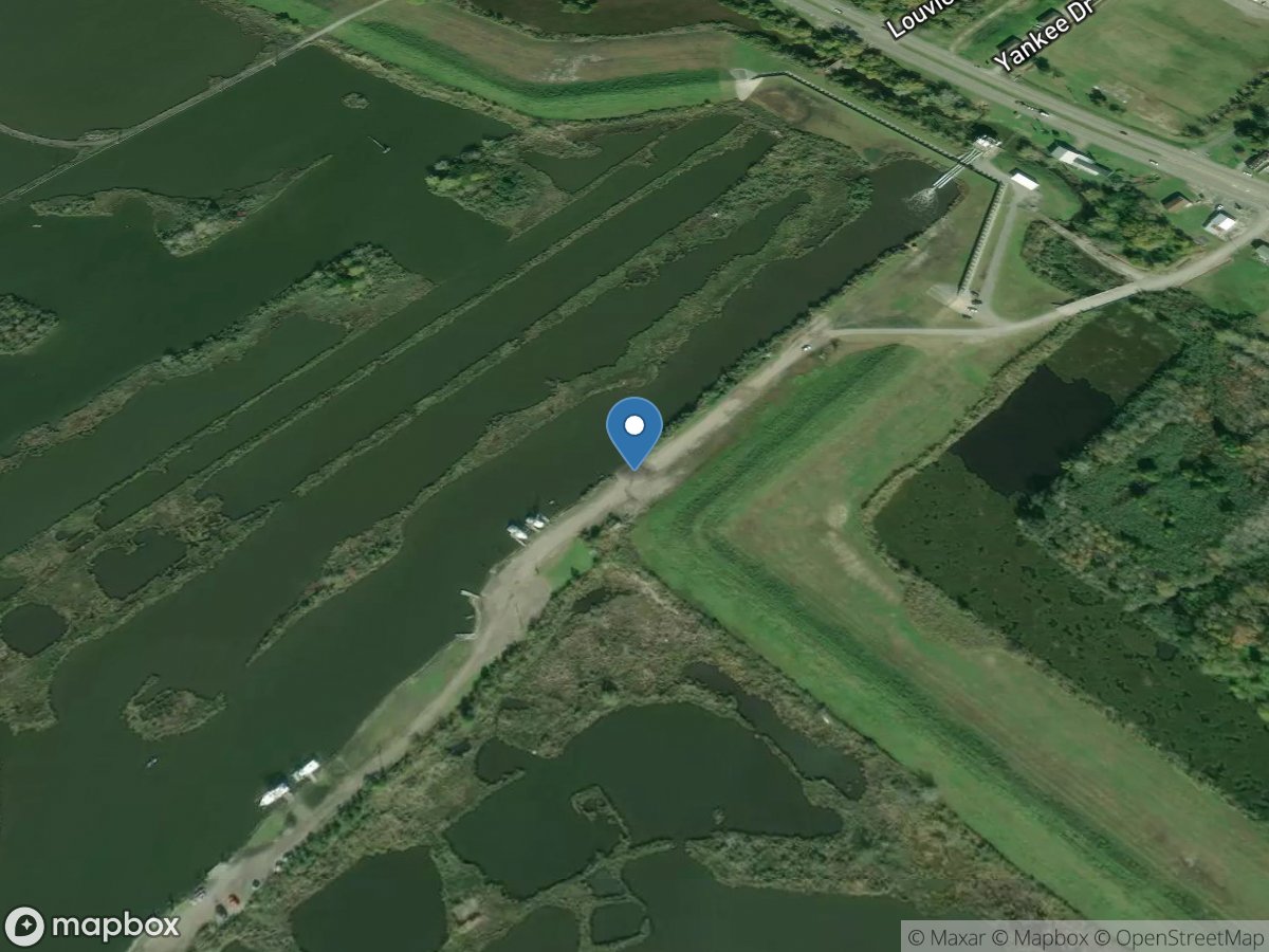
Dursette Street
Access Site
Catfish Lake
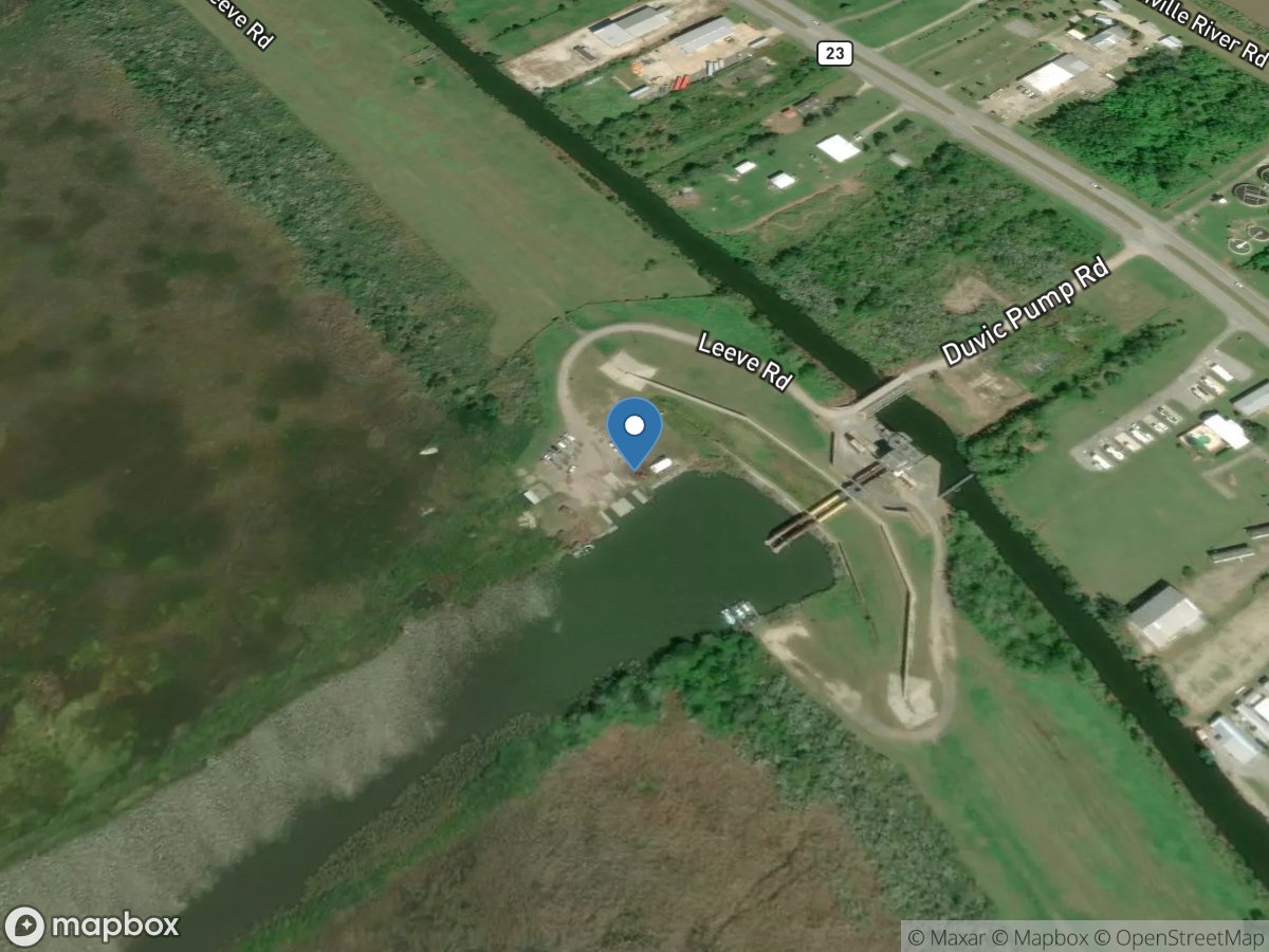
Duvic Pump Road
Access Site
Yellow Cotton Bay
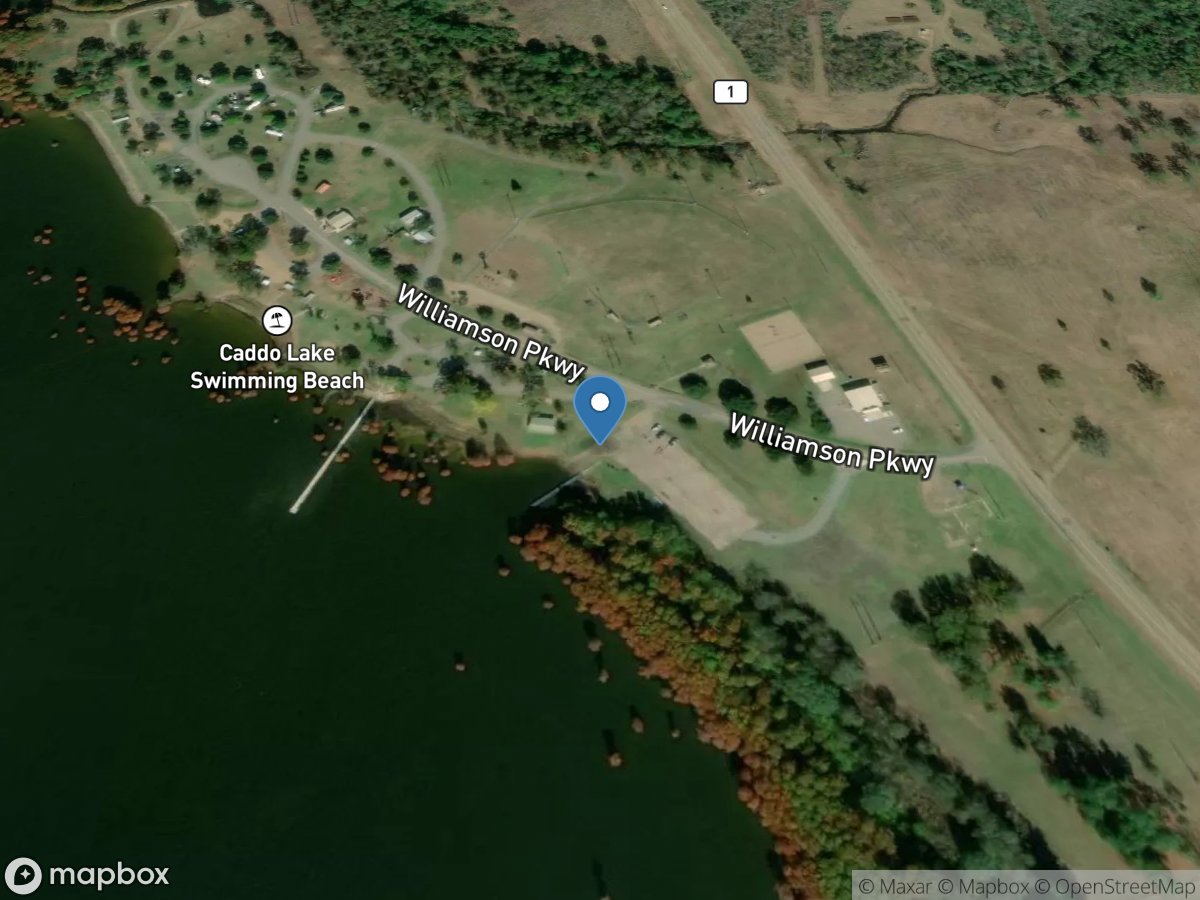
Earl G. Williamson Park
Access Site
Caddo Lake
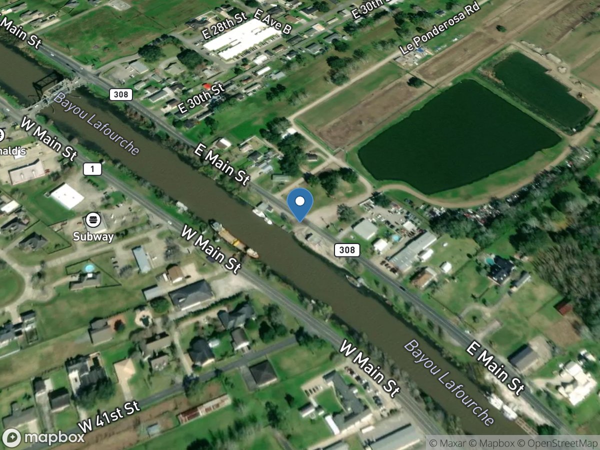
East 34th Court
Access Site
Bayou Lafourche
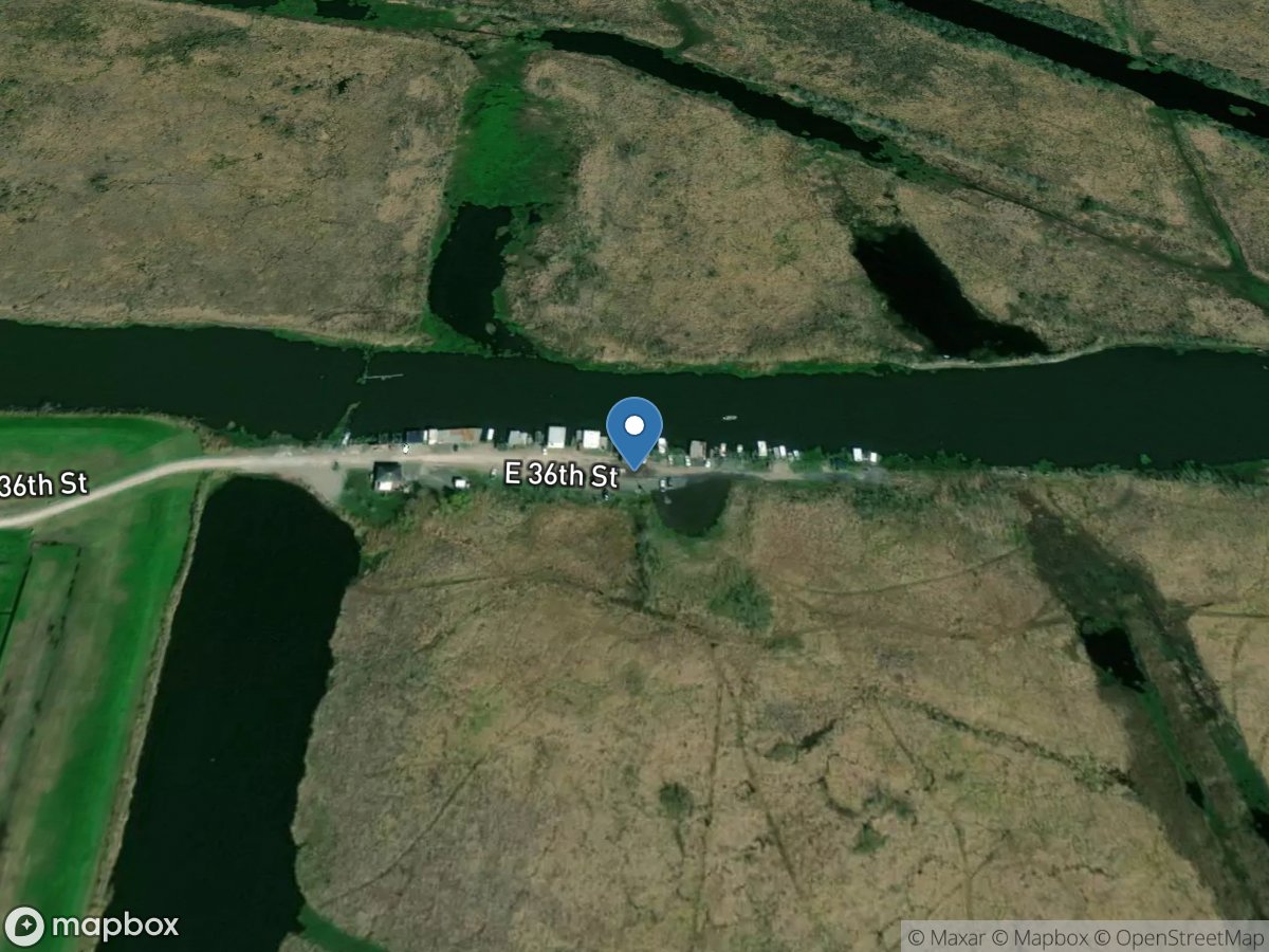
East 36th Street
Access Site
Little Lake
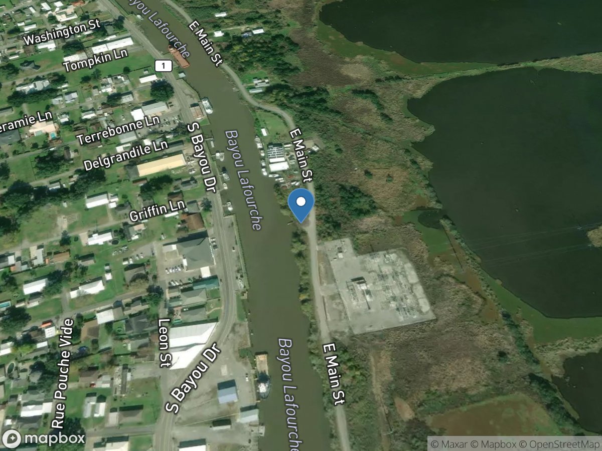
East Main Street
Access Site
Bayou Lafourche
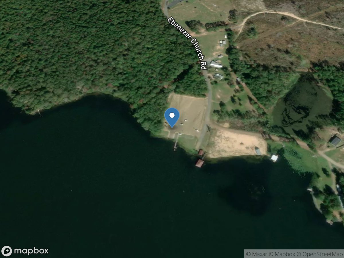
Ebenezer
Access Site
Caney Lake
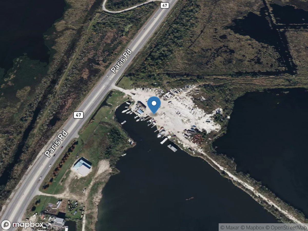
Eddie Pinto's Marina
Access Site
Lake Borne
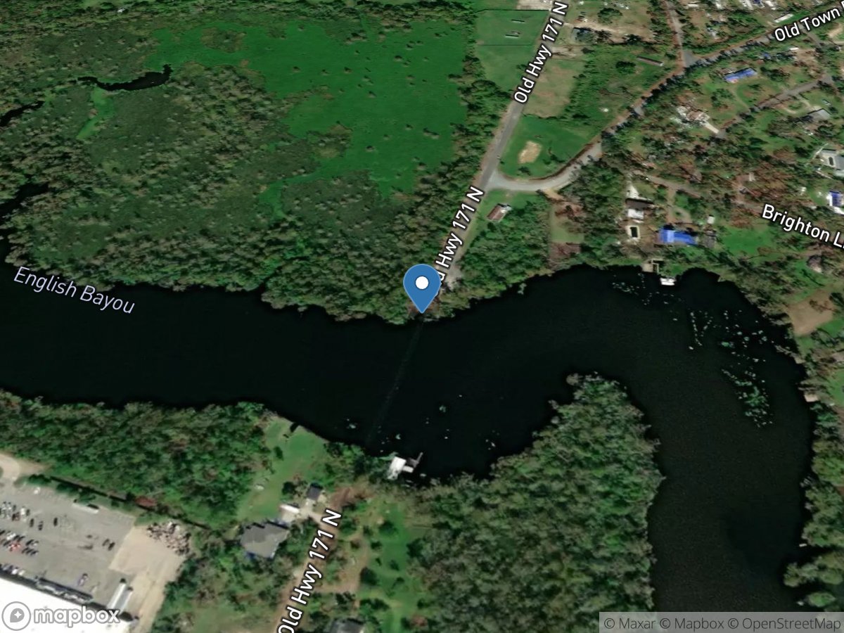
English Bayou
Access Site
English Bayou
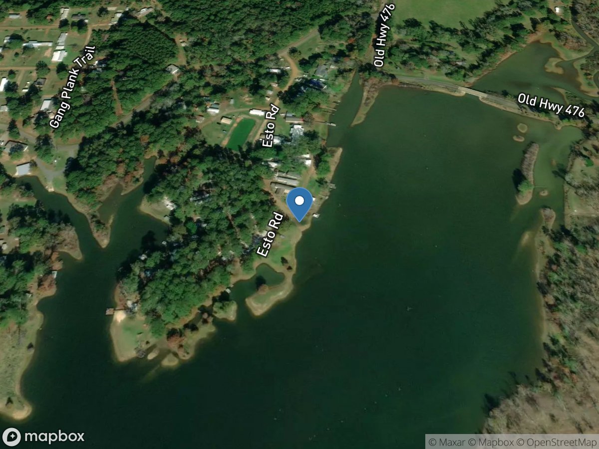
Esto Landing
Access Site
Sabine River - Toledo Bend Reservoir
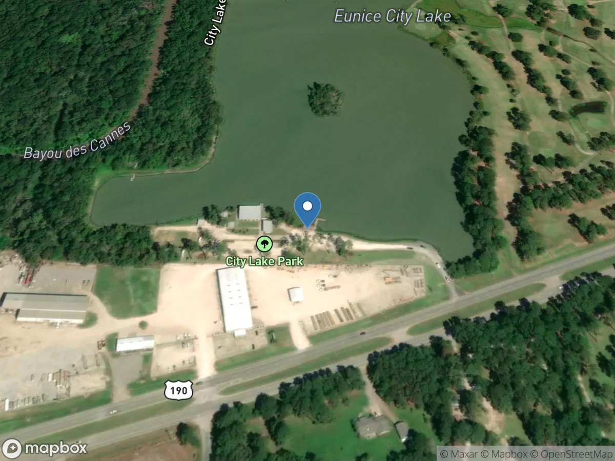
Eunice
Access Site
des Cannes Bayou
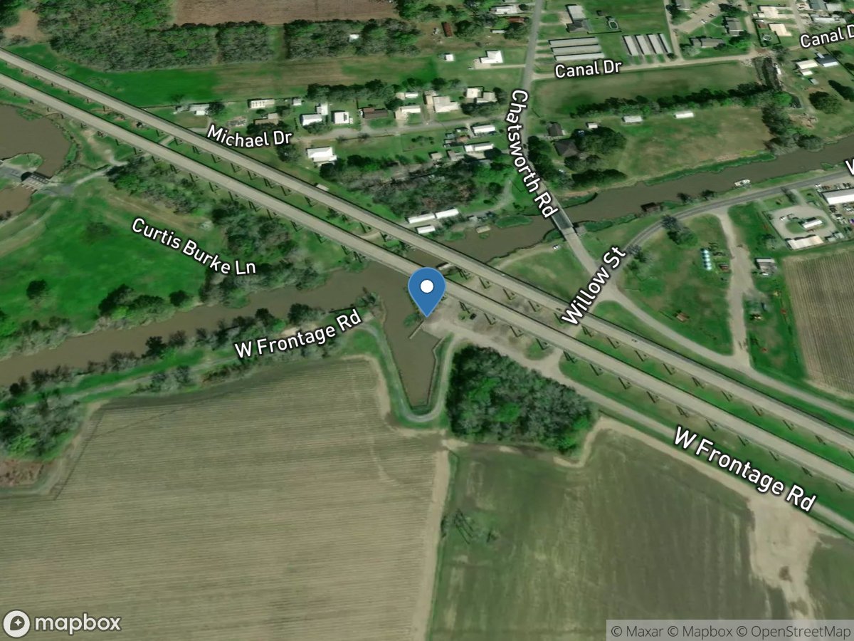
Fairfax Foster Bailey
Access Site
Franklin Canal
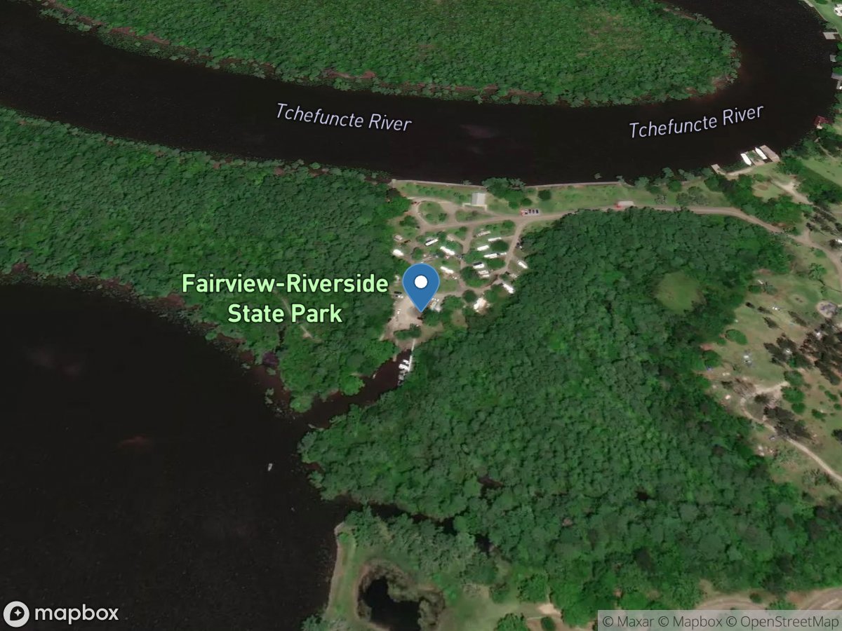
Fairview-Riverside State Park
Access Site
Tchefuncta River
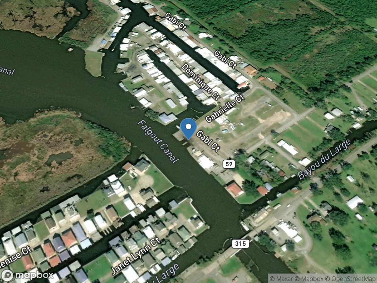
Falgout Canal Marina
Access Site
Falgout Canal
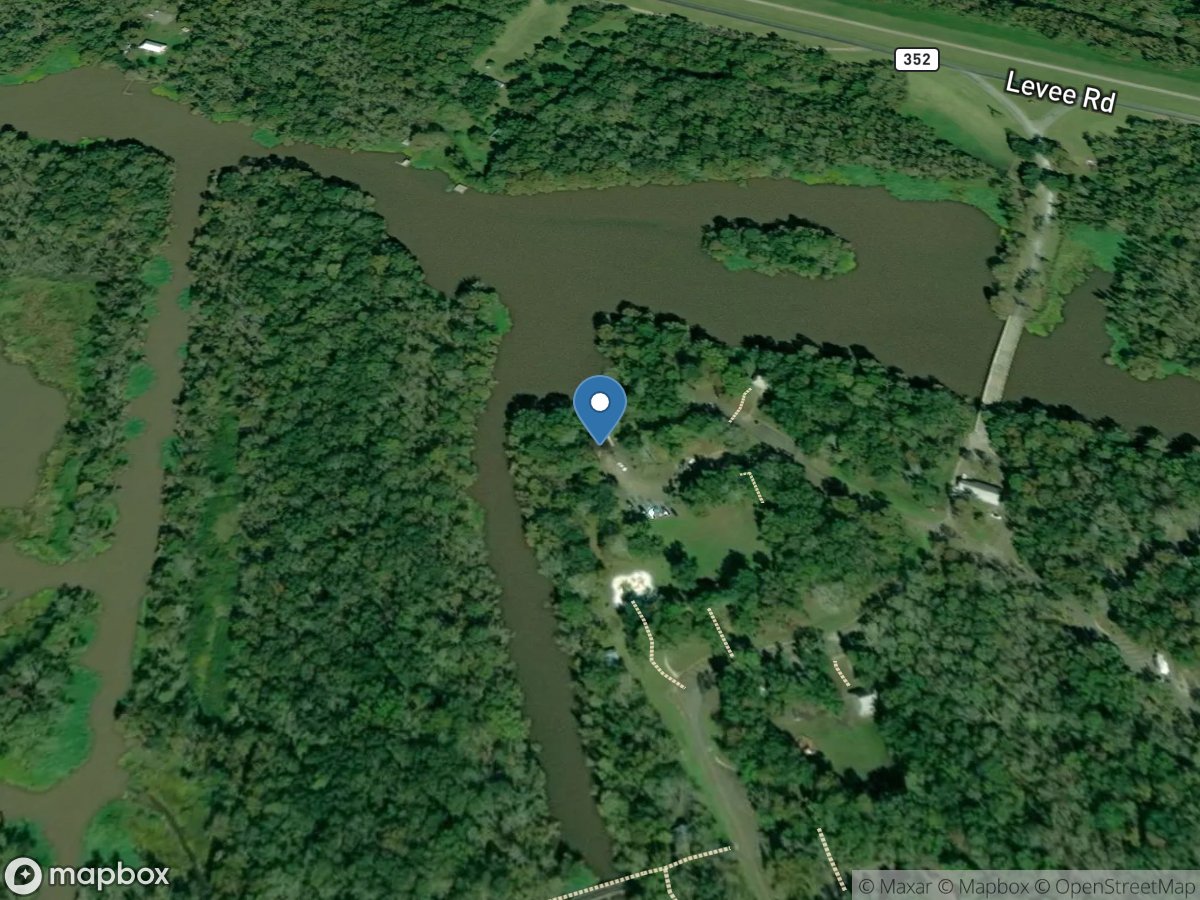
Fausse Pointe State Park
Access Site
Lake Fausse Pointe
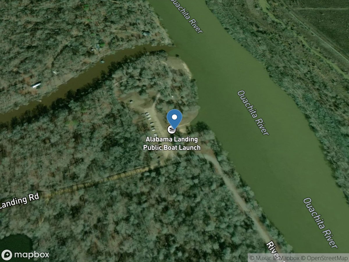
Finch Bayou
Access Site
Ouachita River
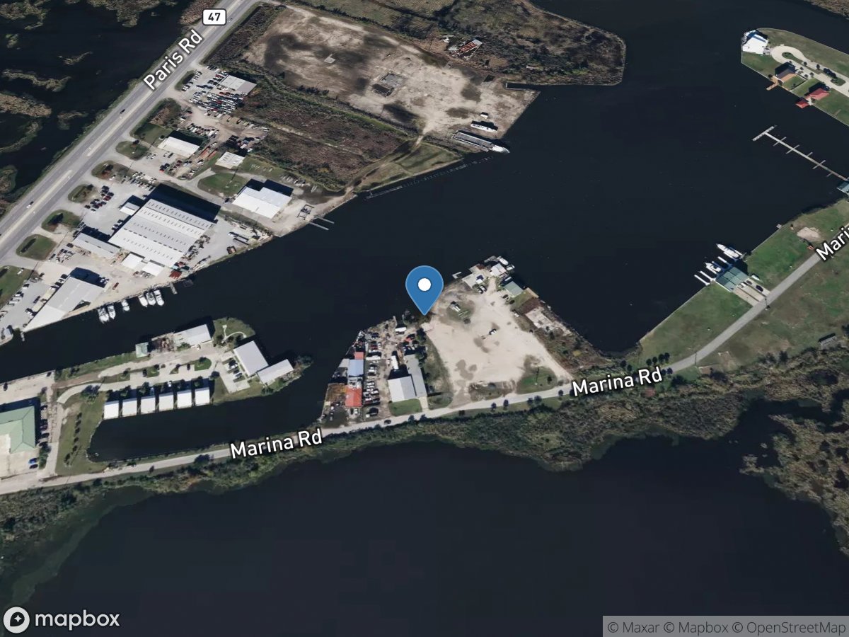
Fisherman's Friend
Access Site
Lake Borne
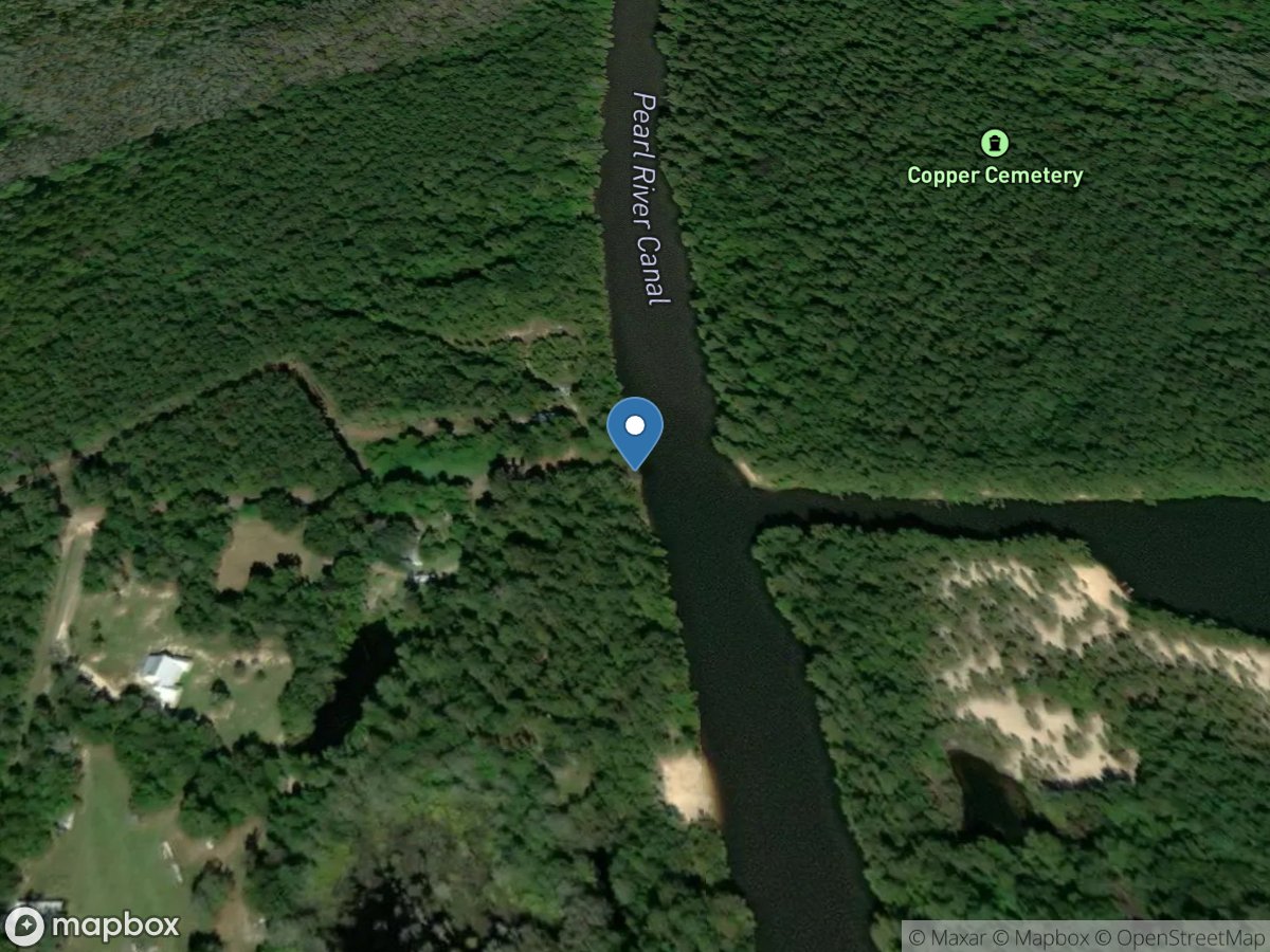
Fisherman's Landing
Access Site
Pearl River Navigational Canal
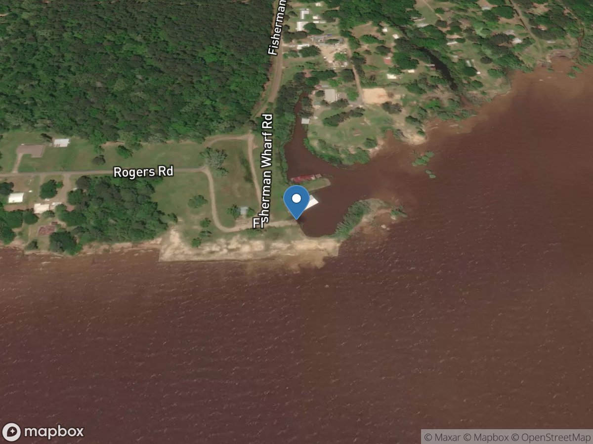
Fisherman's Wharf
Access Site
Sabine River - Toledo Bend Reservoir
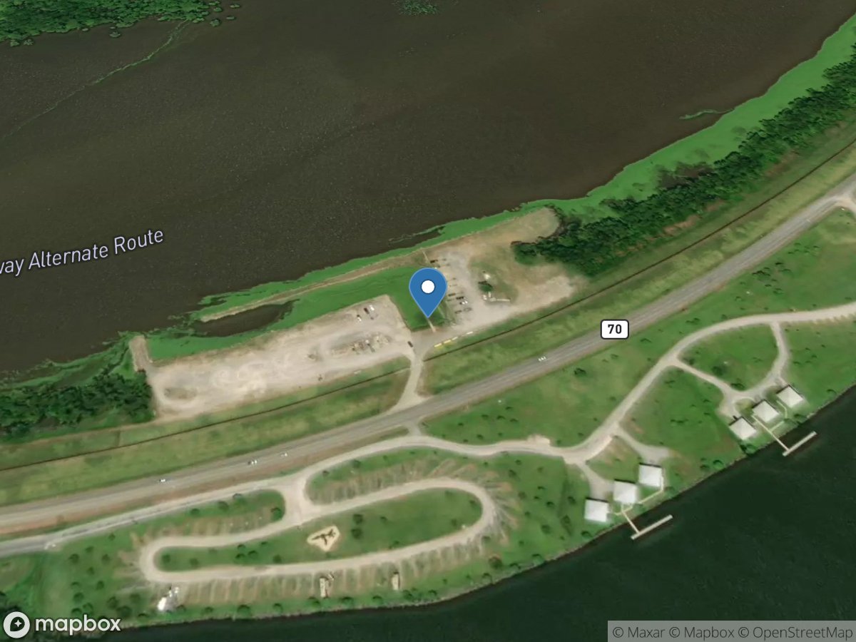
Flat Lake
Access Site
Intracoastal Waterway
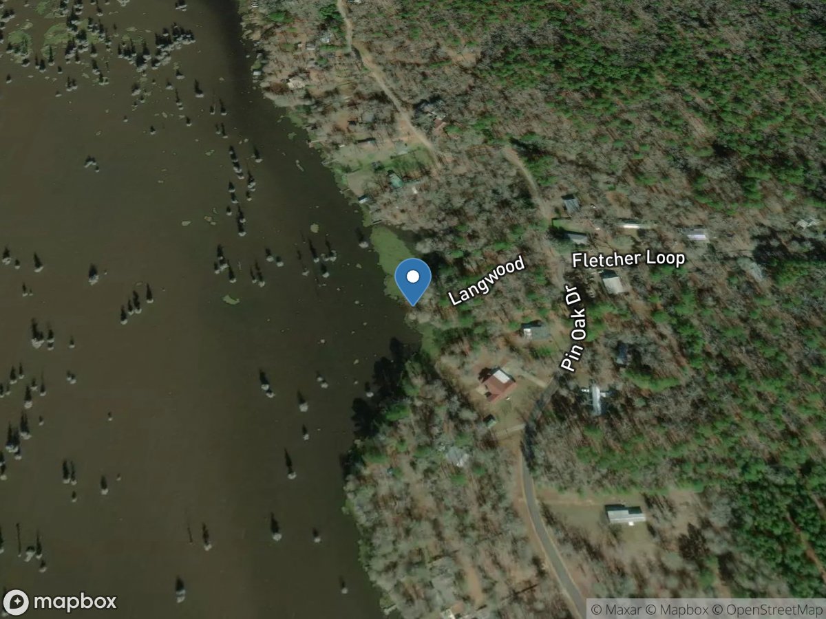
Fletcher's
Access Site
Nantachie Lake
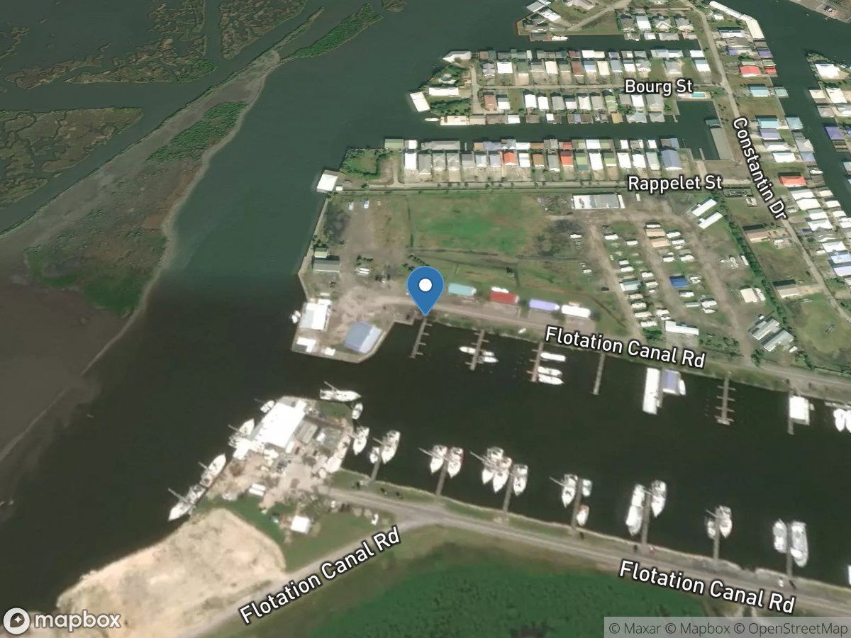
Floatation Canal Road
Access Site
Bayou Lafourche
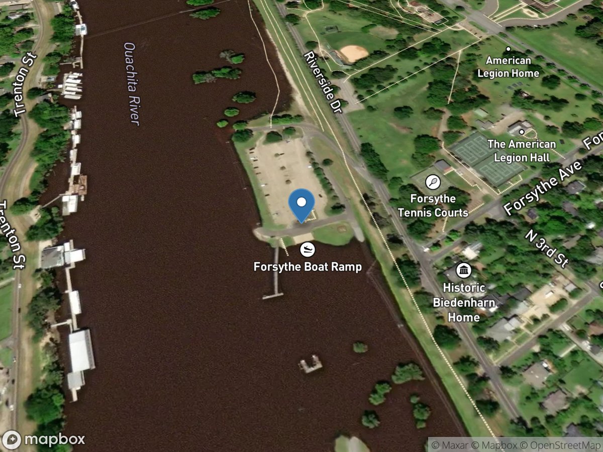
Forsythe Park
Access Site
Ouachita River