Access Sites in Texas
Find mapped boat ramps, launches, and public water access points across the United States.
1,963
Total Sites
24
Loaded
1
Regions
Map view
Explore nearby access
Pan or zoom to load the sites in view, then open a marker for details and directions.
Interactive access map
Loads after the directory is visible.
Loading...
Navigation Tips
- Zoom in to load more sites in your area of interest
- Click on clusters (numbered circles) to zoom into that area
- Click on individual markers for site details and directions
- Use scroll wheel or pinch to zoom, drag to pan
Directory results
Loaded access sites
The list reflects the current page and can be narrowed with the search field.
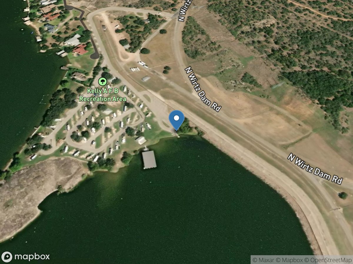
Sunset Point
Access Site
Colorado River - Lake Lyndon B. Johnson
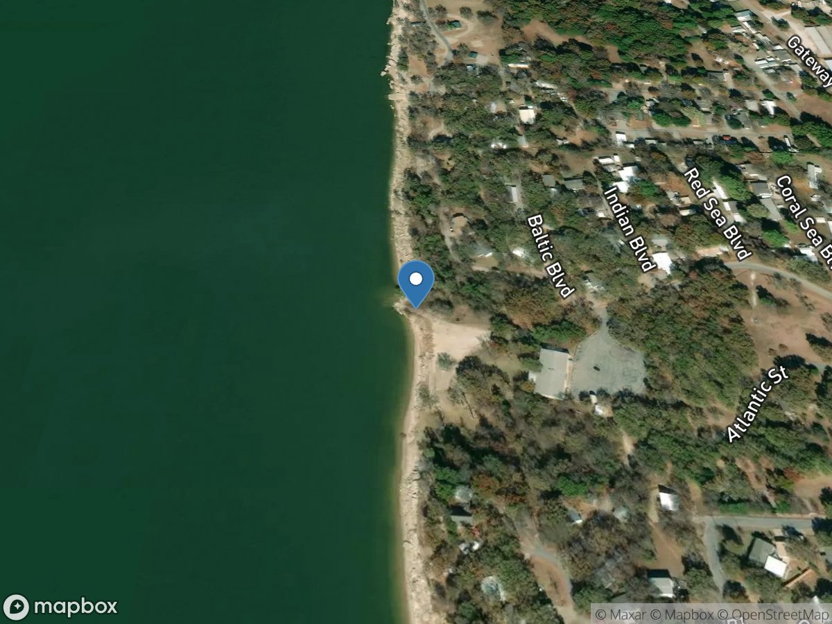
Sunset Point
Access Site
Red River - Lake Texoma
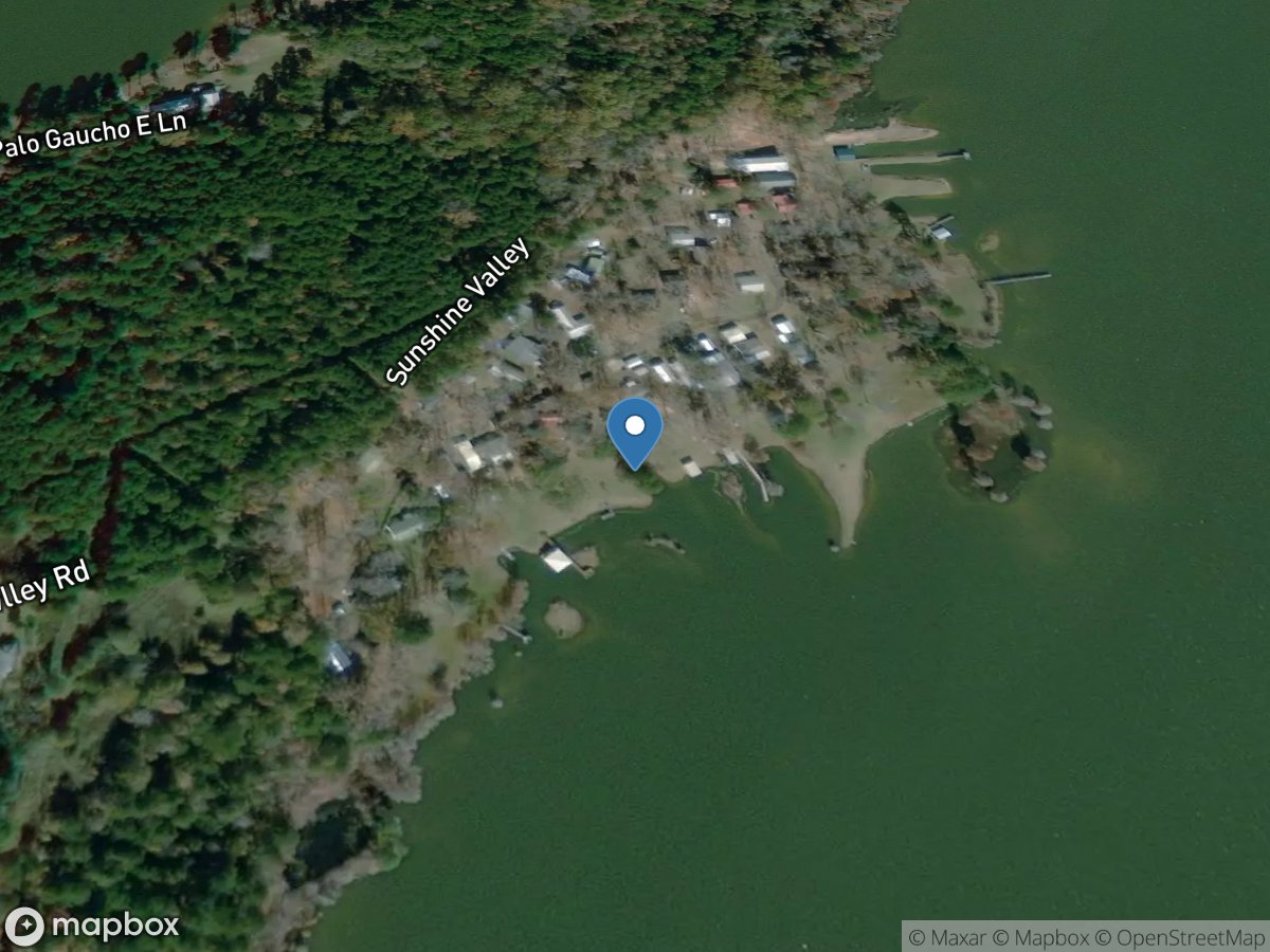
Sunshine Valley
Access Site
Gaucho Bayou - Toledo Bend Reservoir
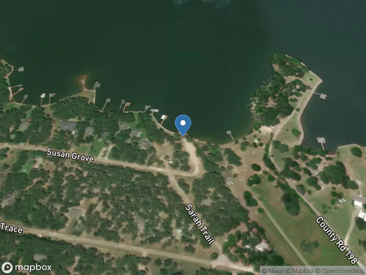
Susan Grove
Access Site
Richland Creek - Richland Chambers Reservoir
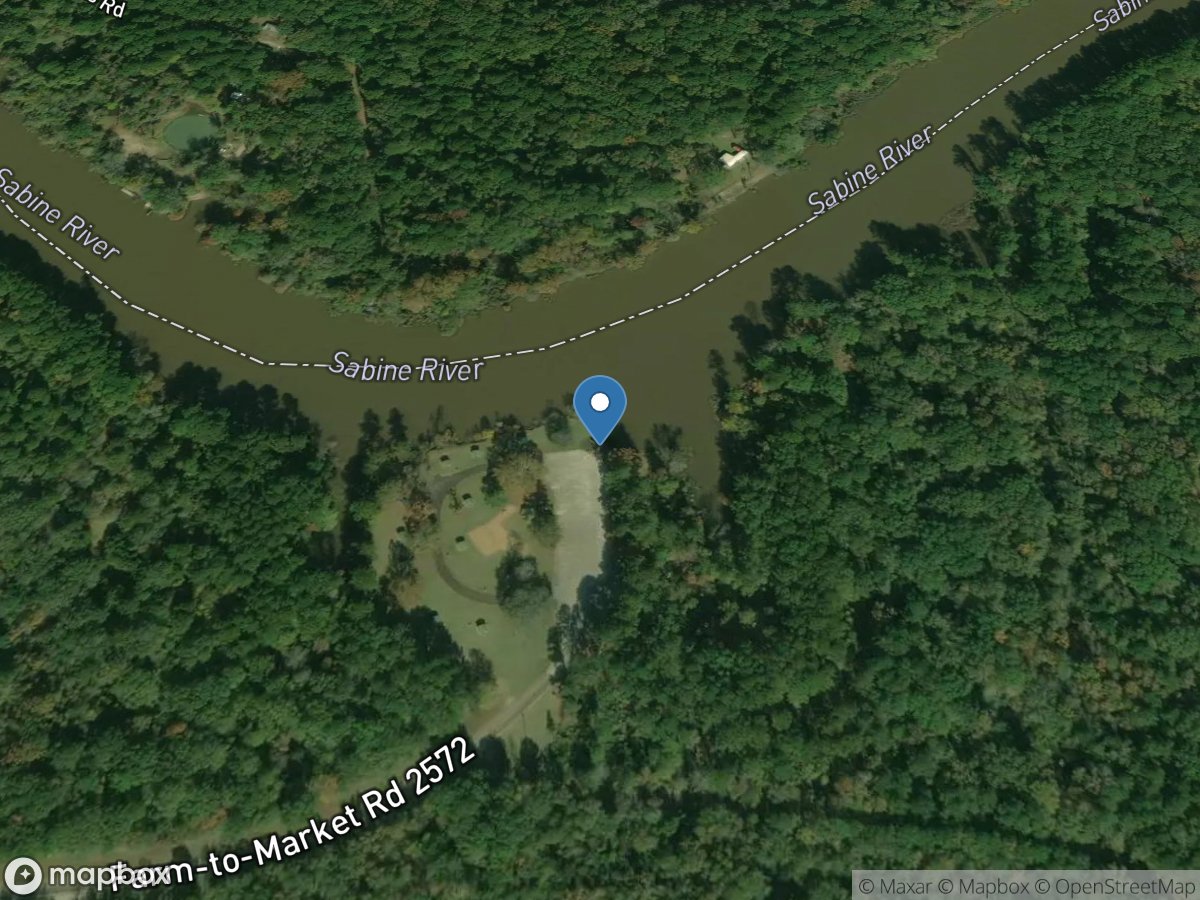
Swede Johnson Recreation Area
Access Site
Sabine River - Toledo Bend Reservoir
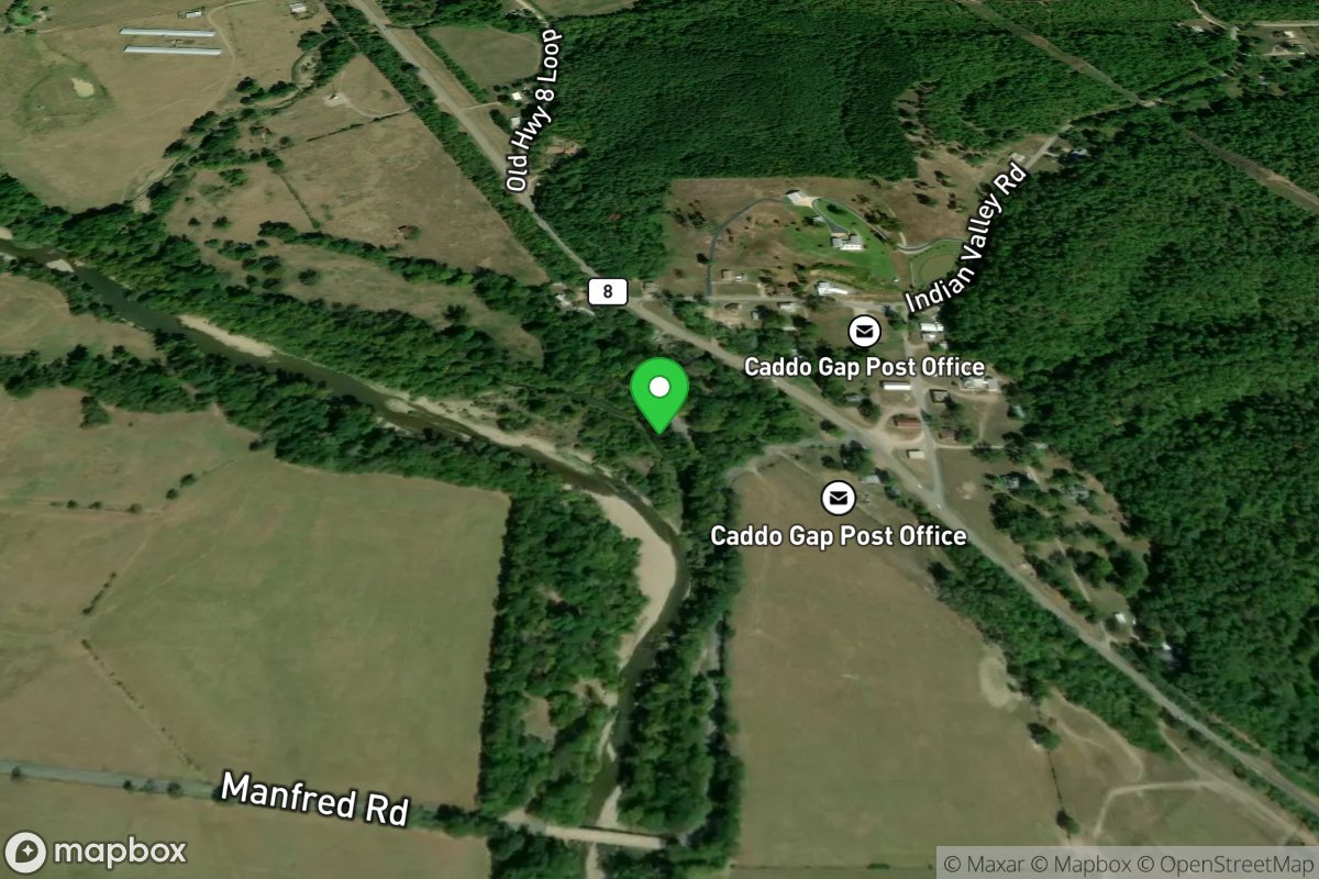
Swinging Bridge Access
Access Site
Caddo River
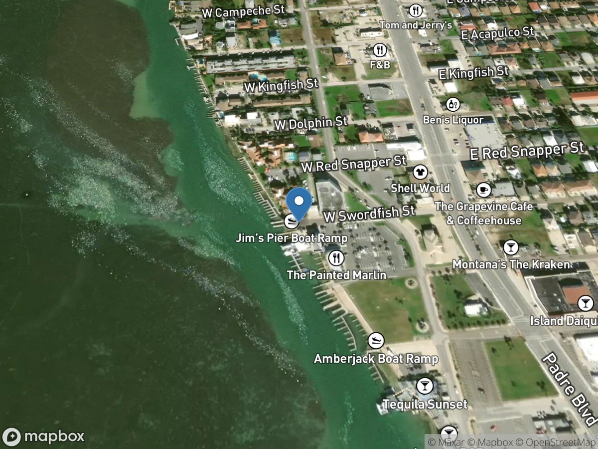
Swordfish Street
Access Site
Laguna Madre
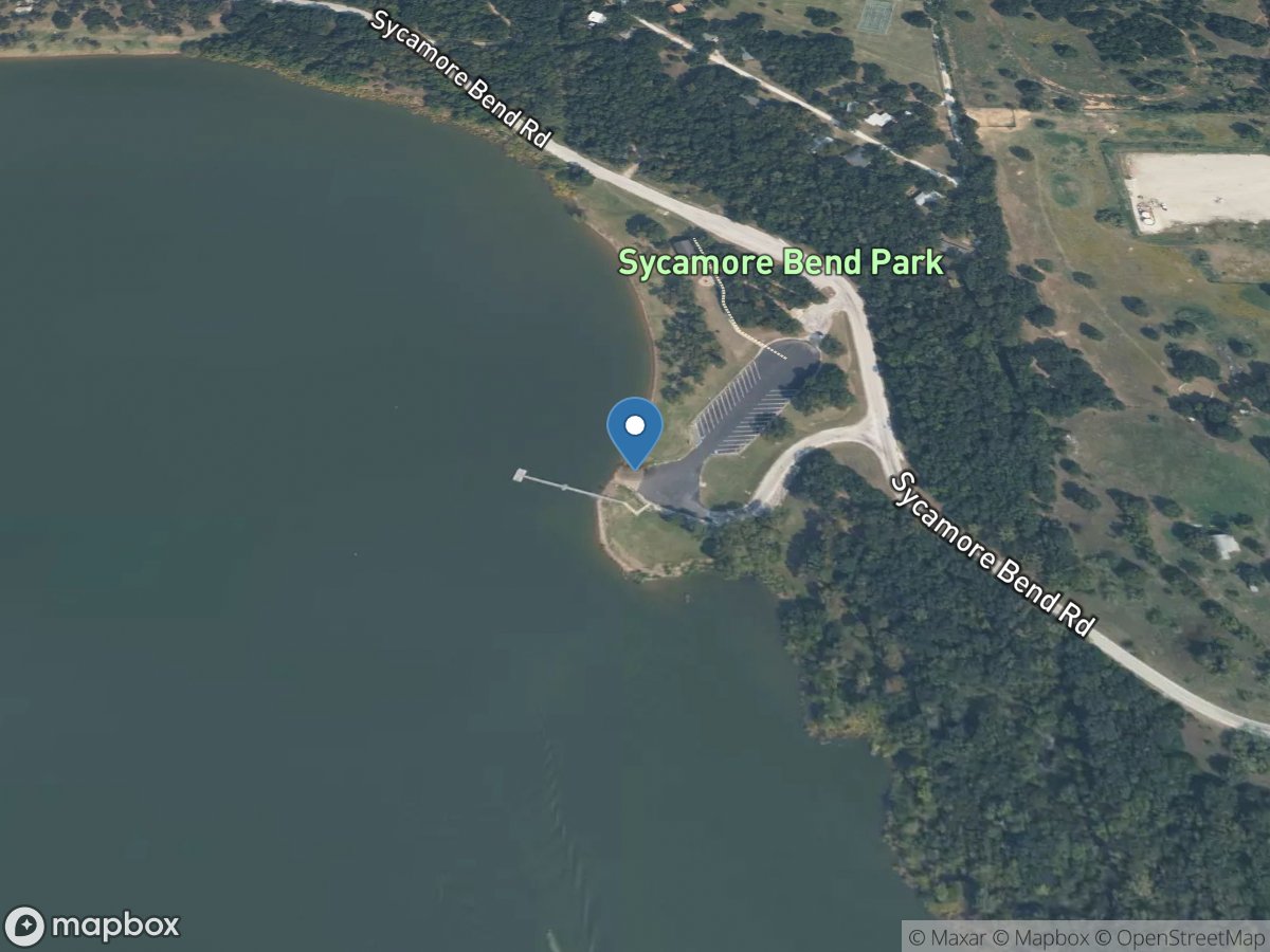
Sycamore Bend Park
Access Site
Hickory Creek Arm - Lewisville Lake
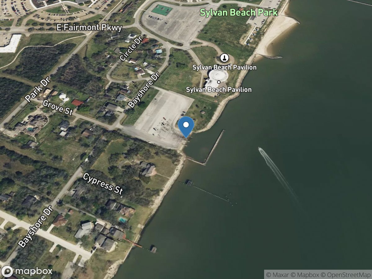
Sylvan Beach Park
Access Site
San Jacinto River - Galveston Bay
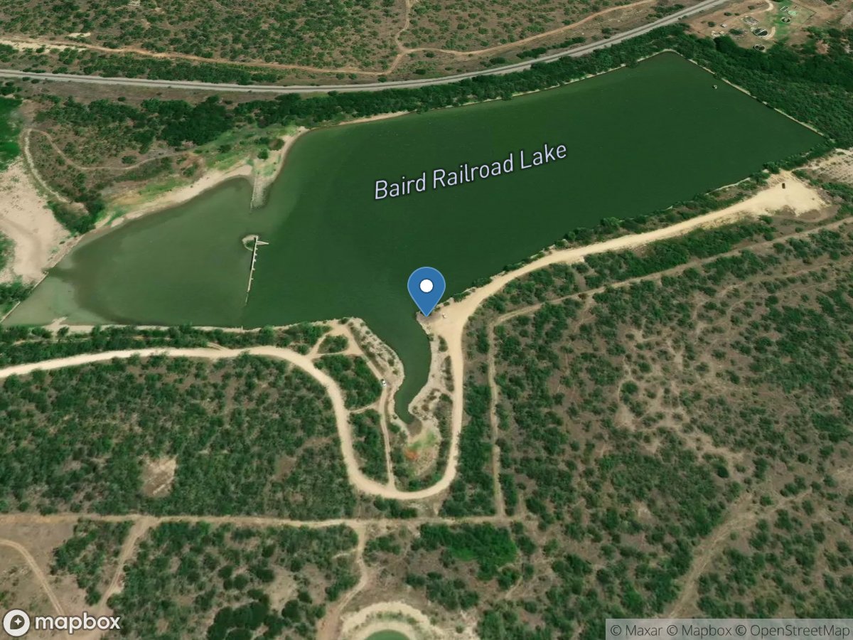
T. P. Lake
Access Site
T. P. Lake
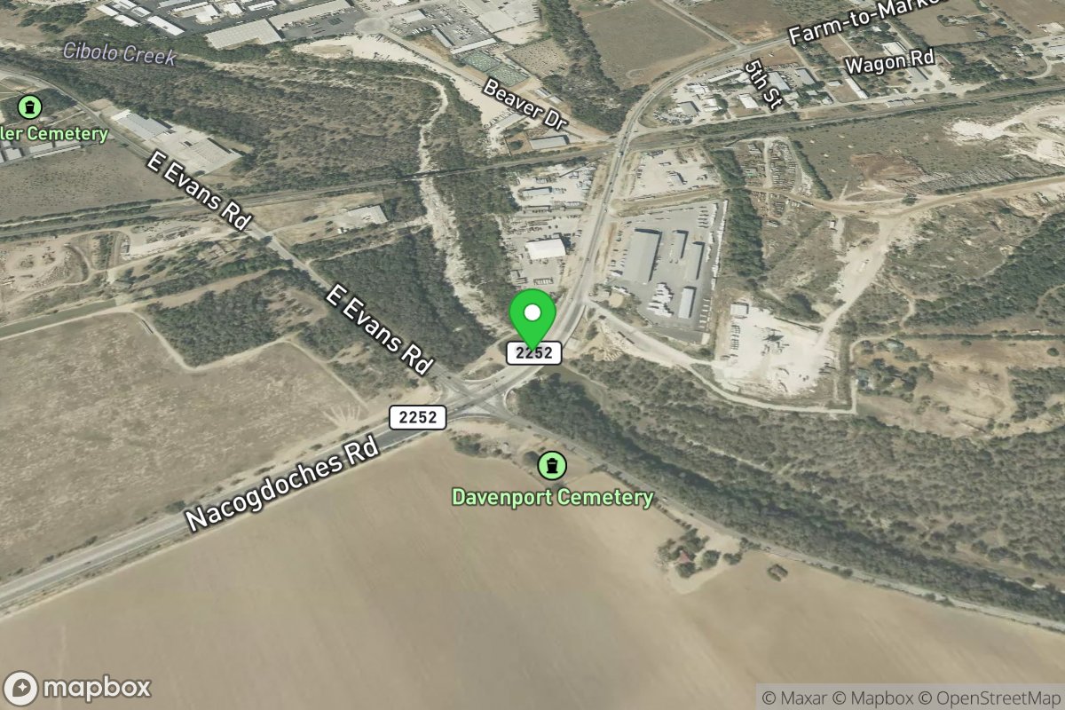
Take Out
Access Site
Cibolo Creek
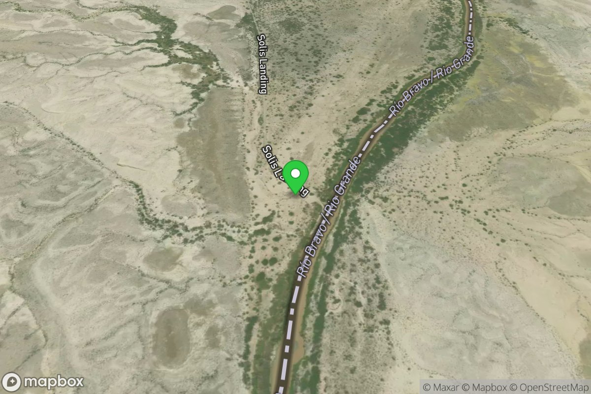
Take Out
Access Site
Rio Grande
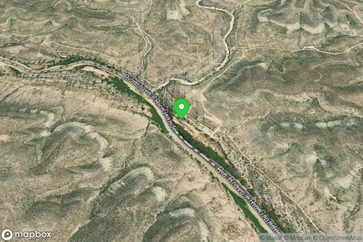
Take Out
Access Site
Rio Grande
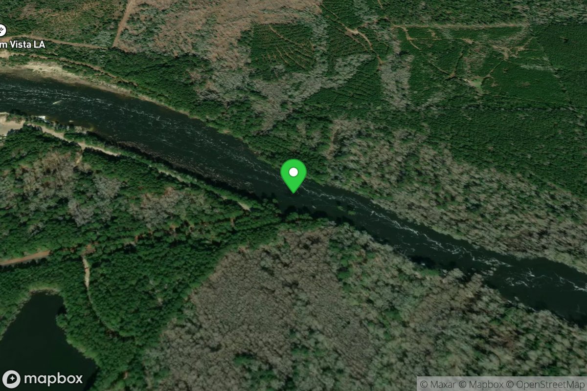
Take Out
Access Site
Sabine River
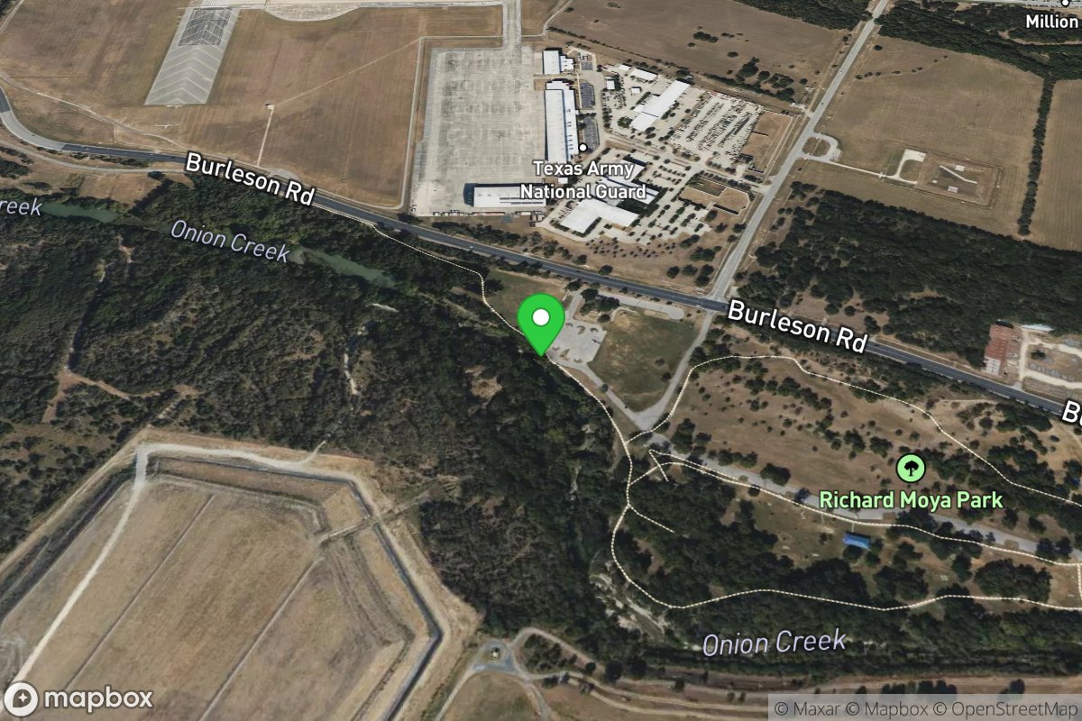
Take Out
Access Site
Onion Creek
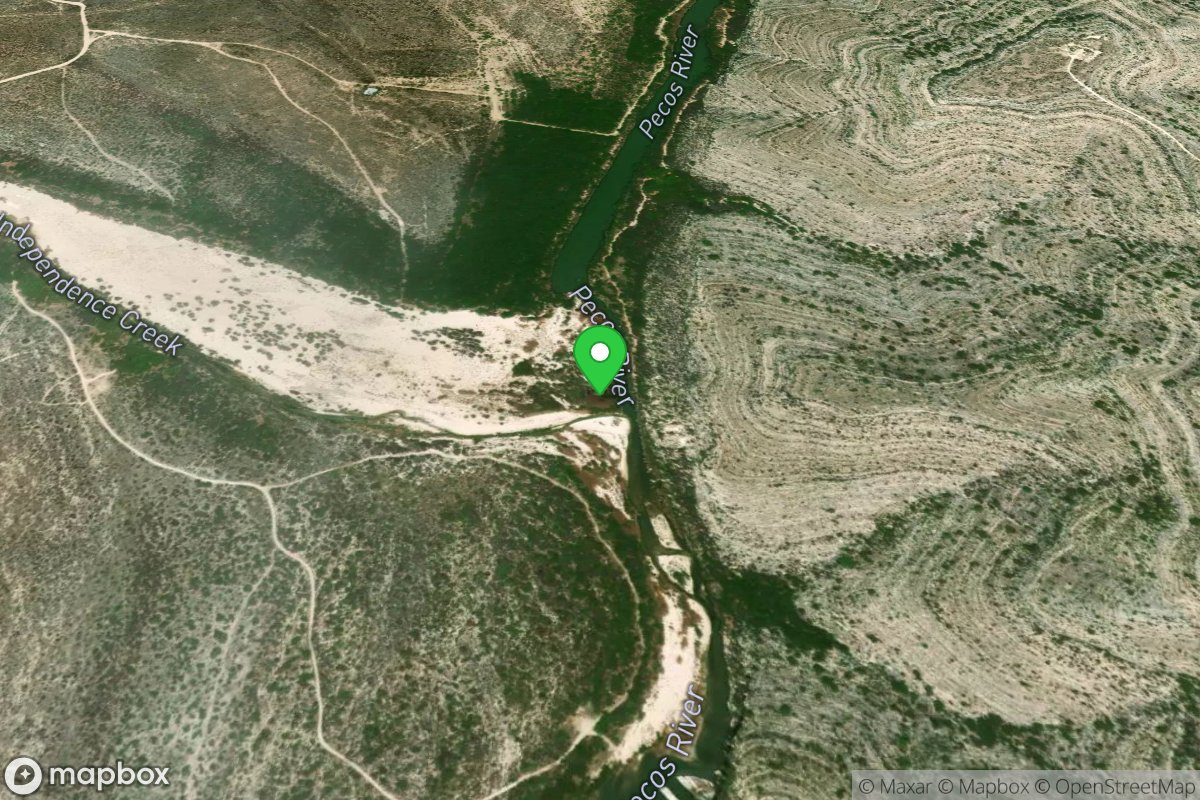
Take Out
Access Site
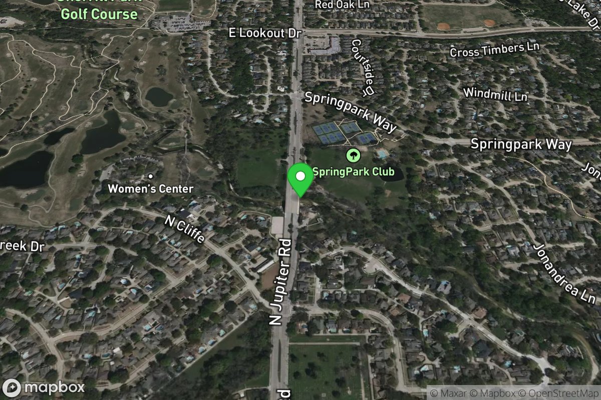
Independence Creek (no known descents)
Take Out
Access Site
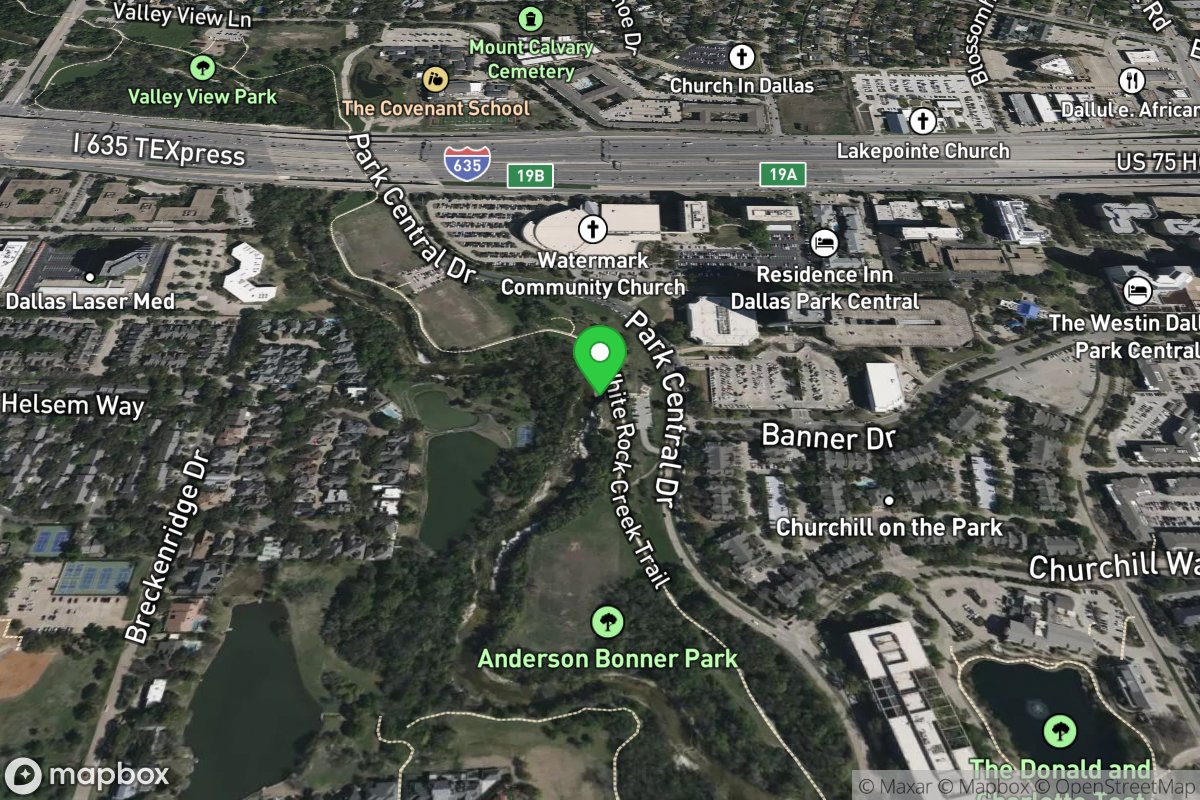
Spring Creek (current beta needed)
Take Out
Access Site
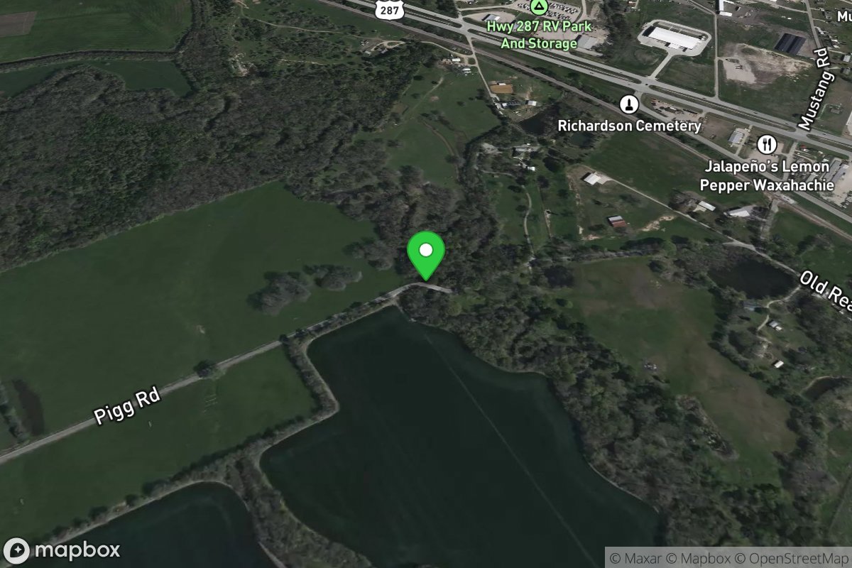
Whiterock Creek
Take Out
Access Site
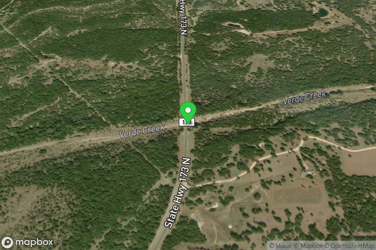
Waxahachie Creek, South Prong
Take Out
Access Site
Verde Creek (current beta needed)
Take Out
Access Site
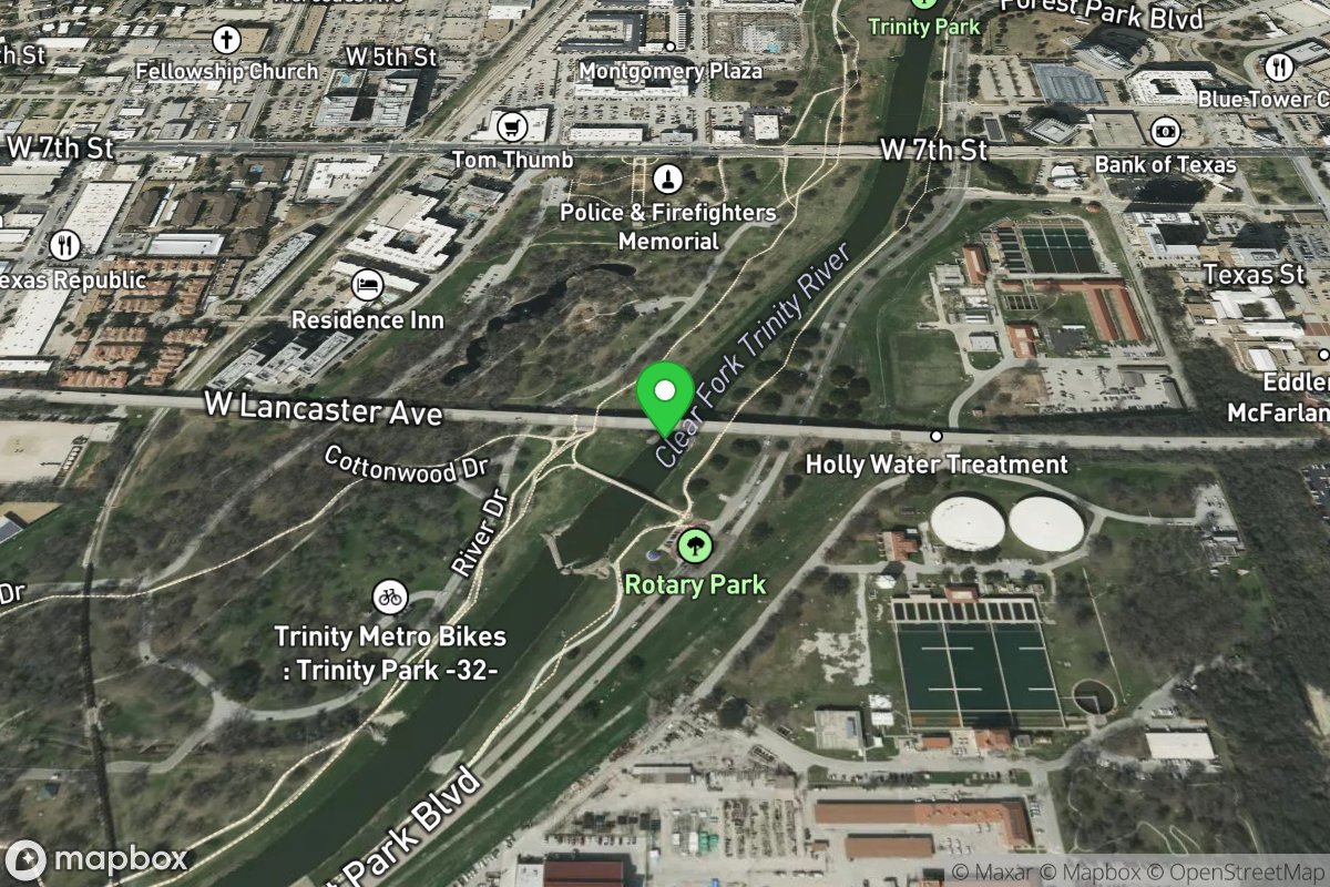
Trinity, Clear Fork
Take Out
Access Site
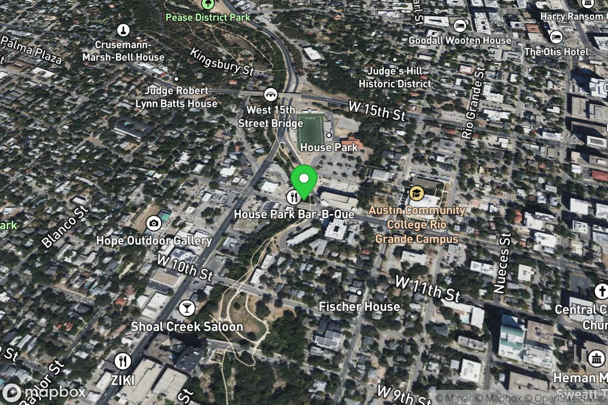
Shoal Creek (current beta needed)
Take Out
Access Site
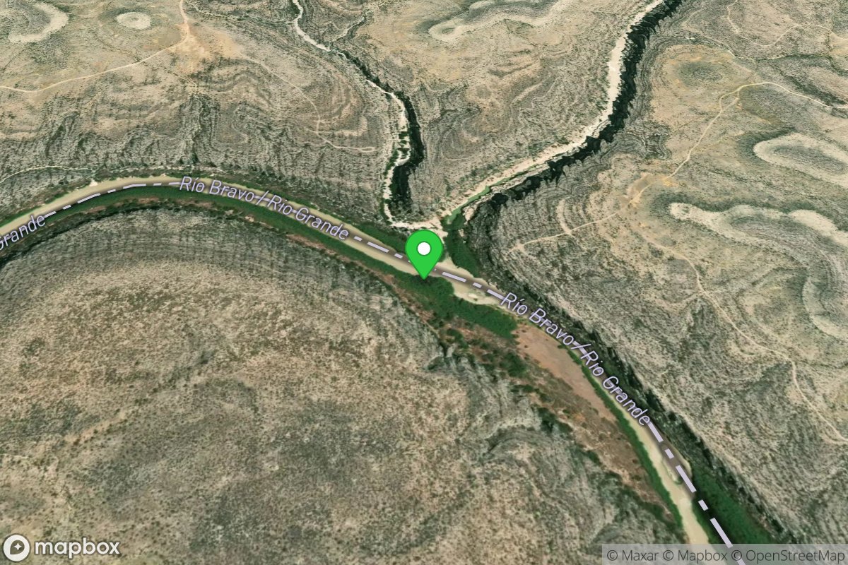
Sanderson Creek (no known descents)
Take Out
Access Site
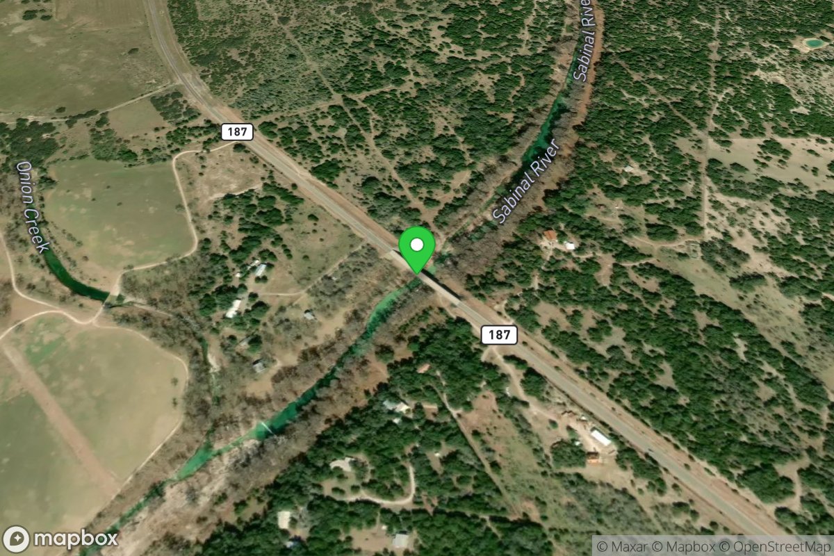
Sabinal (current beta needed)