Access Sites
Find mapped boat ramps, launches, and public water access points across the United States.
44,009
Total Sites
24
Loaded
51
Regions
Map view
Explore nearby access
Pan or zoom to load the sites in view, then open a marker for details and directions.
Interactive access map
Loads after the directory is visible.
Loading...
Navigation Tips
- Zoom in to load more sites in your area of interest
- Click on clusters (numbered circles) to zoom into that area
- Click on individual markers for site details and directions
- Use scroll wheel or pinch to zoom, drag to pan
Directory results
Loaded access sites
The list reflects the current page and can be narrowed with the search field.
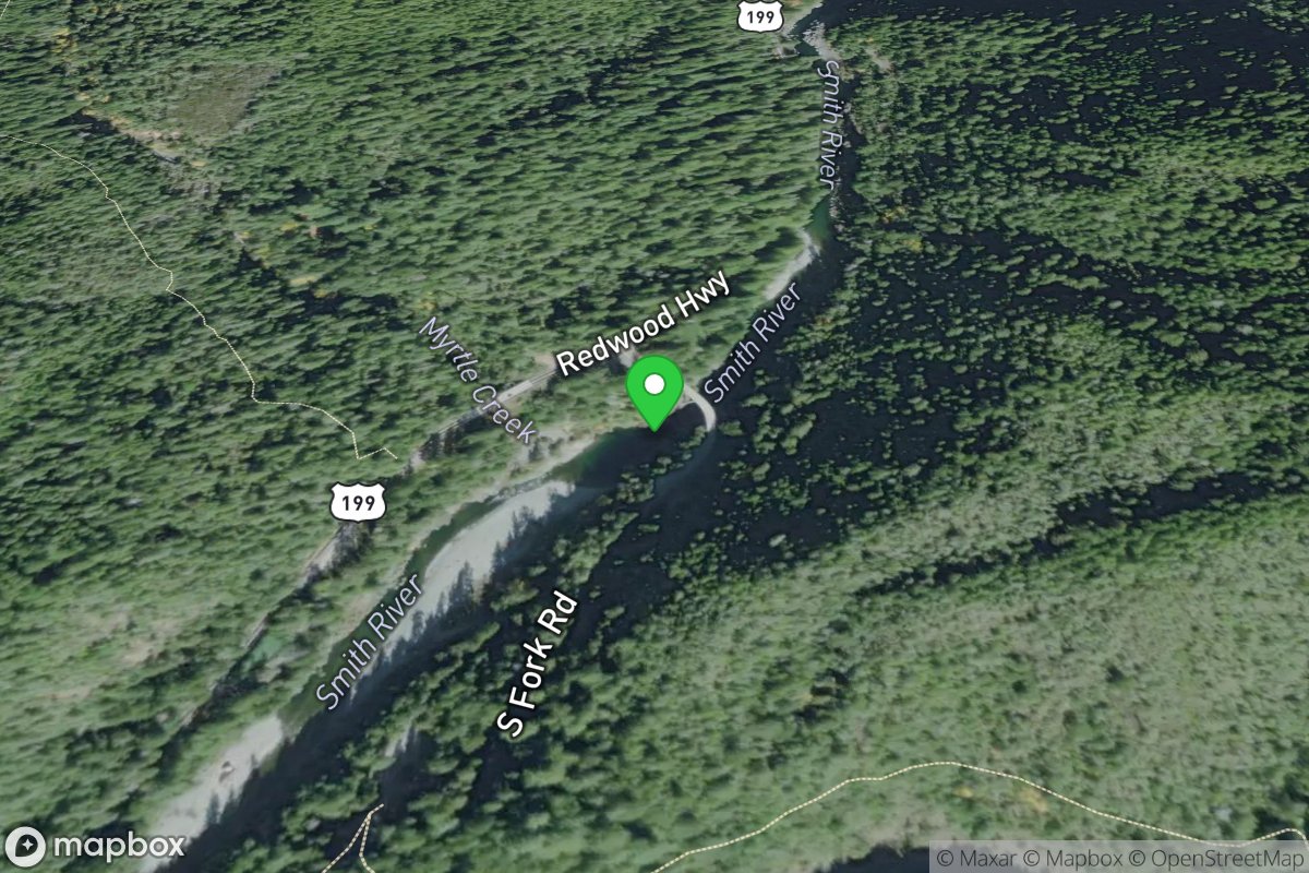
Myrtle Beach Access
Access Site
Smith, Middle Fork
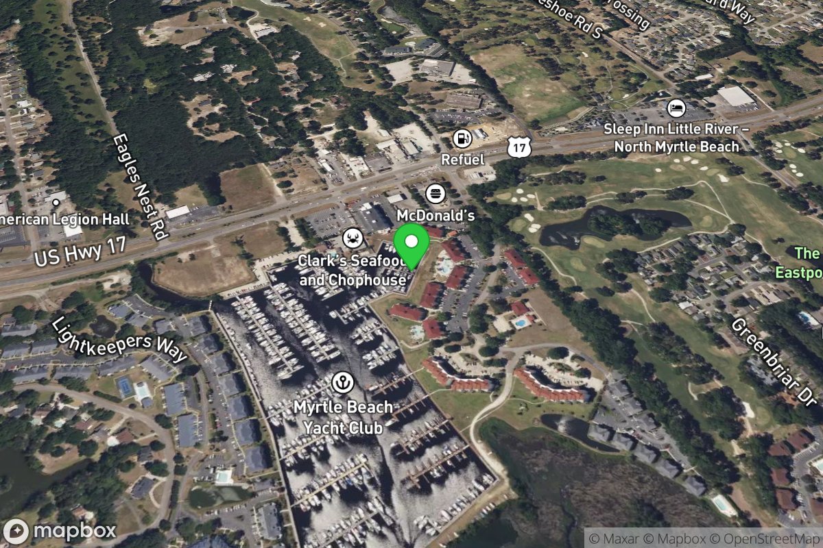
Myrtle Beach Yacht Club
Access Site
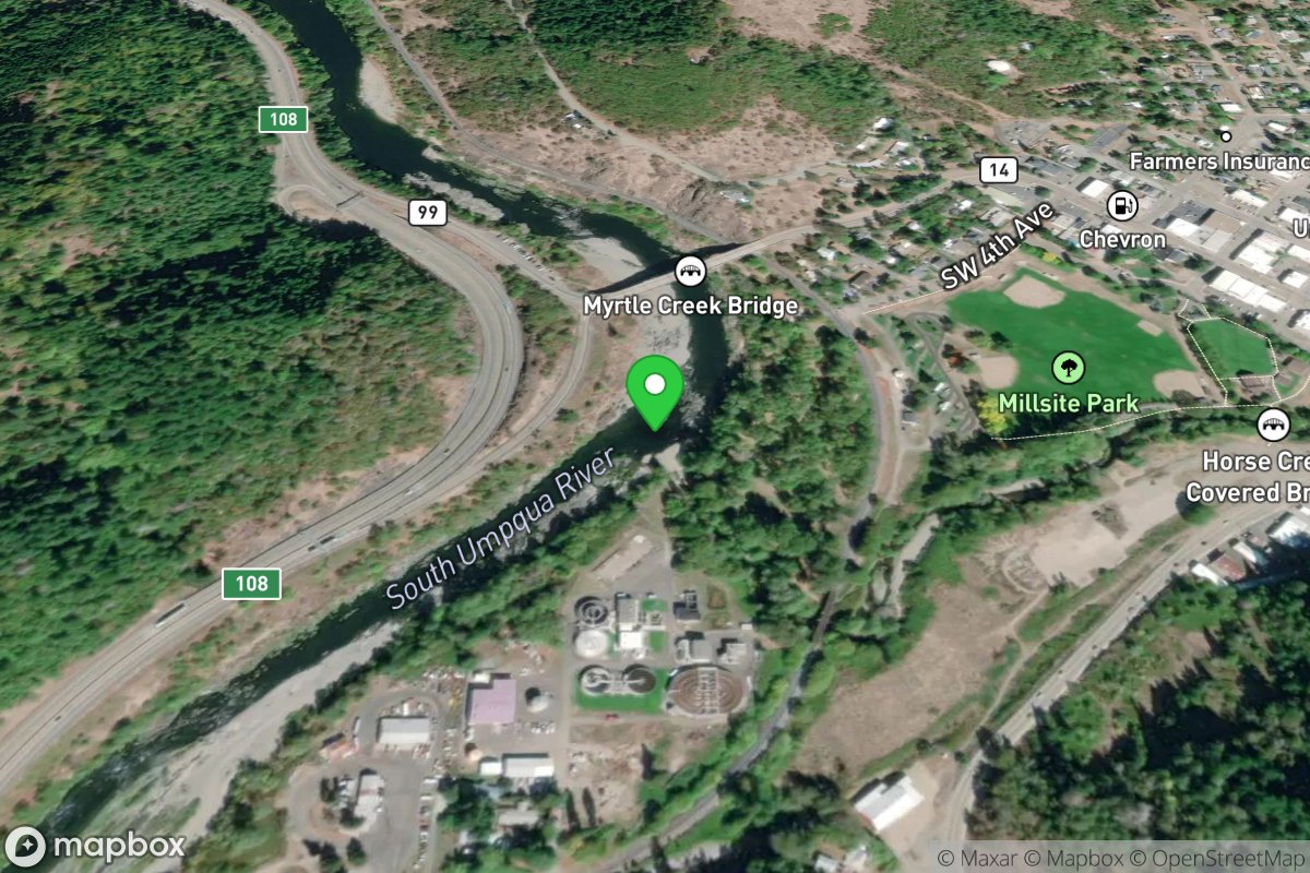
Myrtle Creek
Access Site
Umqua, South
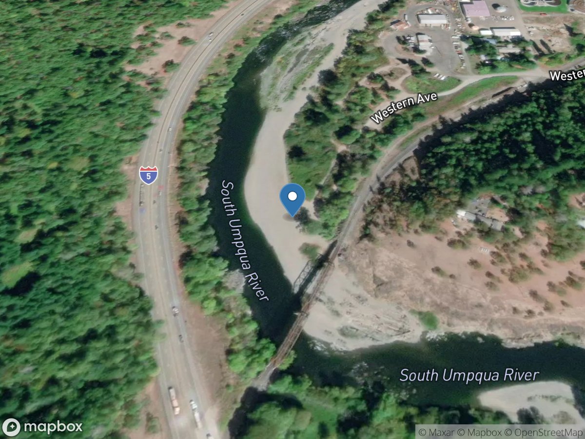
Myrtle Creek Gravel Bar
Access Site
South Umpqua River
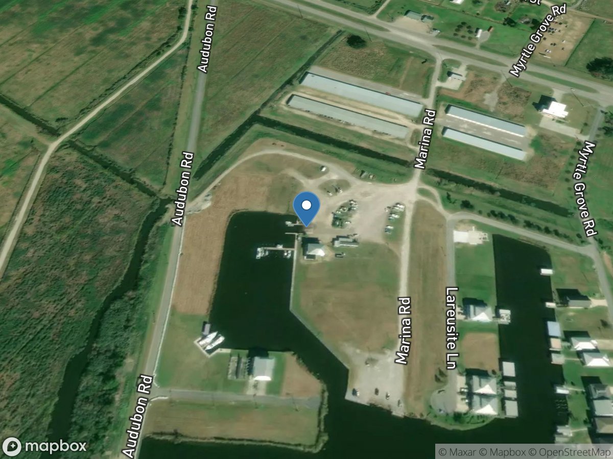
Myrtle Grove Marina
Access Site
Wilkinson Canal
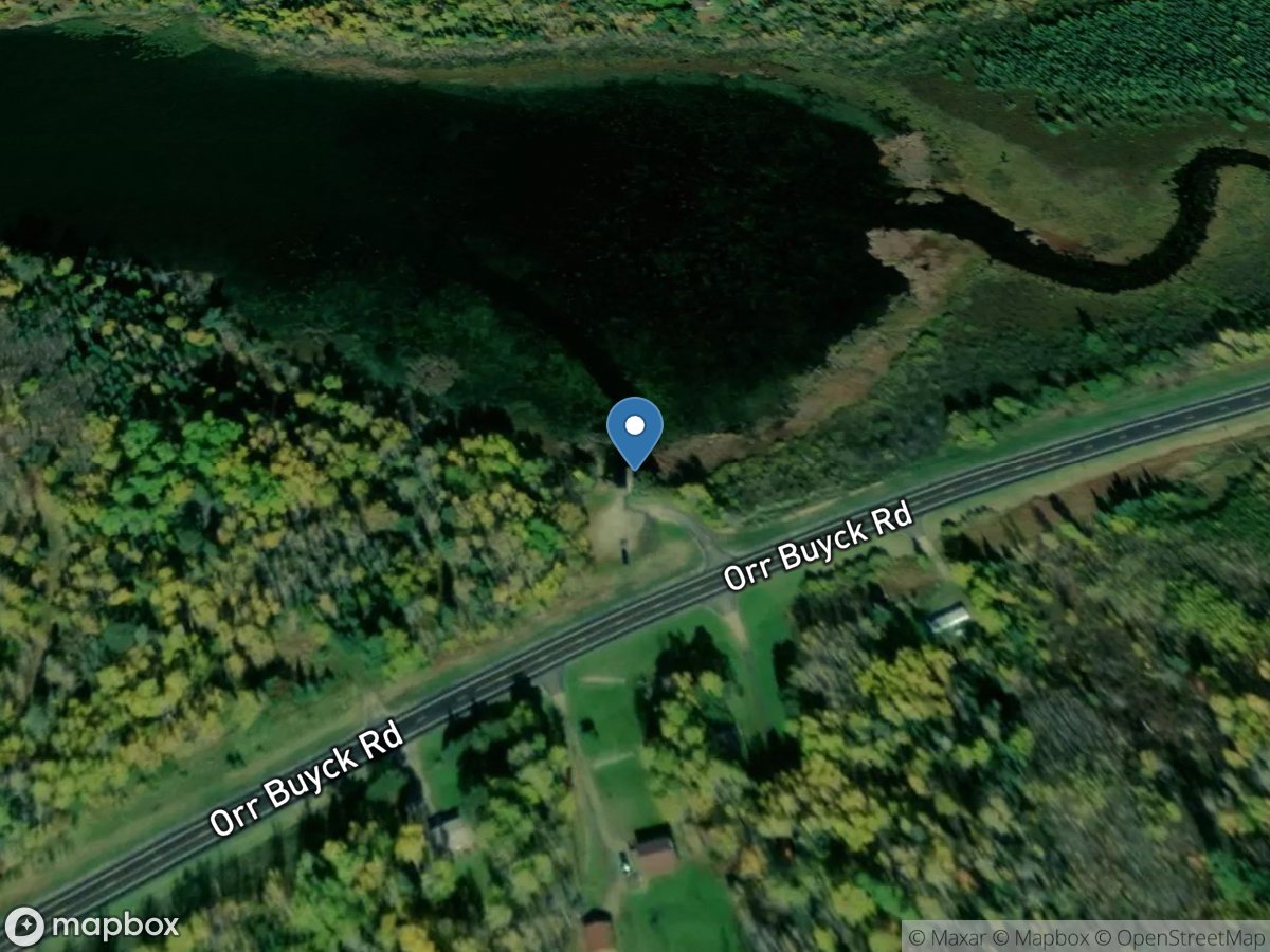
Myrtle Lake
Access Site
Myrtle Lake
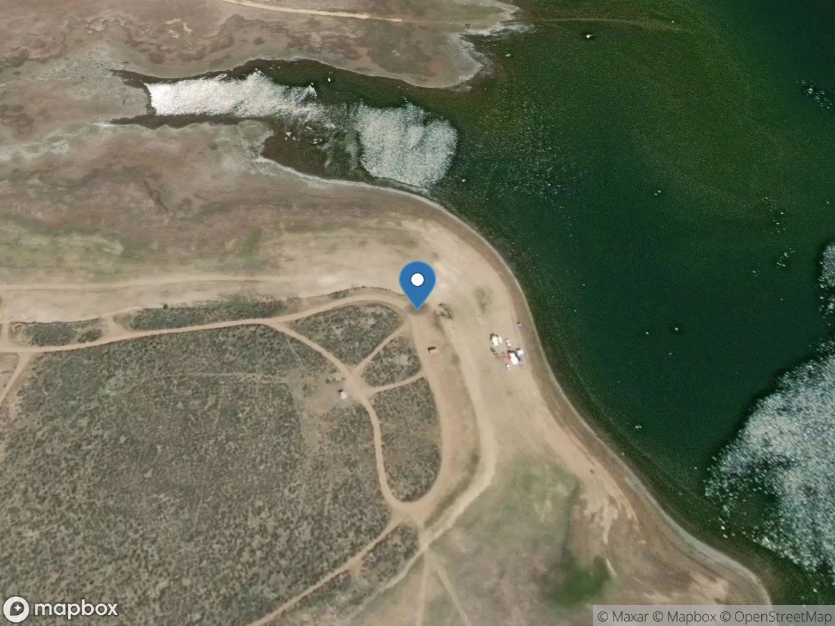
Myrtle Point Recreation Site
Access Site
Big Wood River
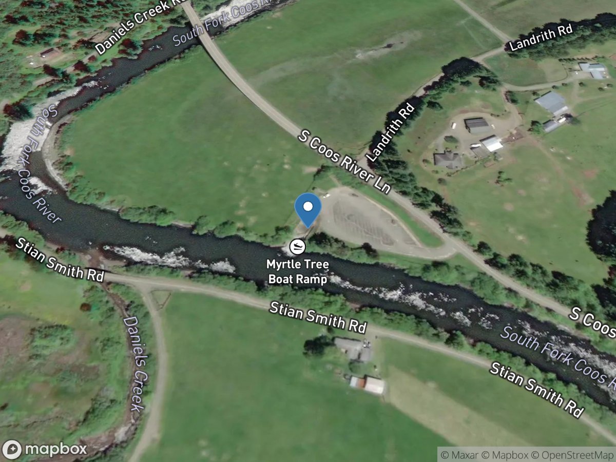
Myrtle Tree
Access Site
South Fork Coos River
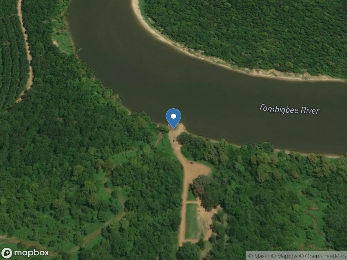
Myrtlewood
Access Site
Tombigbee River
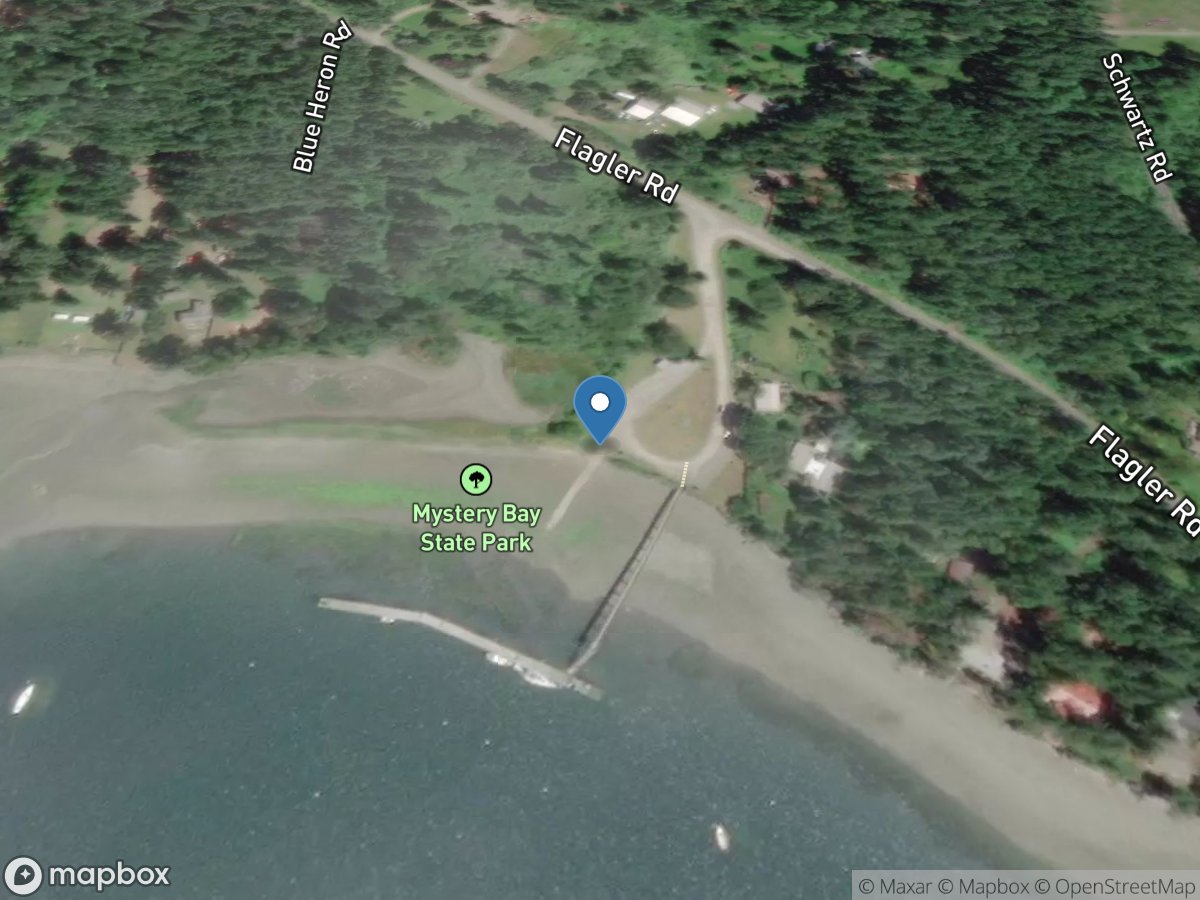
Mystery Bay State Park
Access Site
Kilisut Harbor
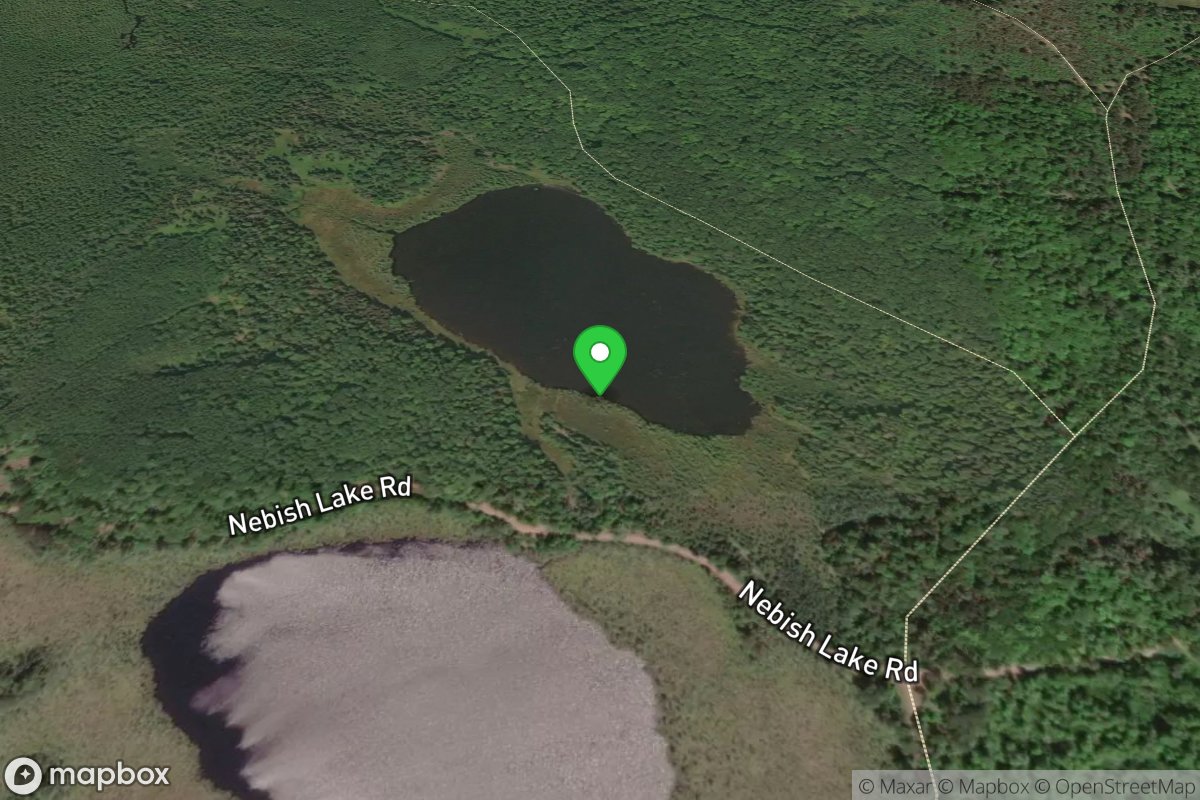
Mystery Lake Carry-in
Access Site
Mystery Lake
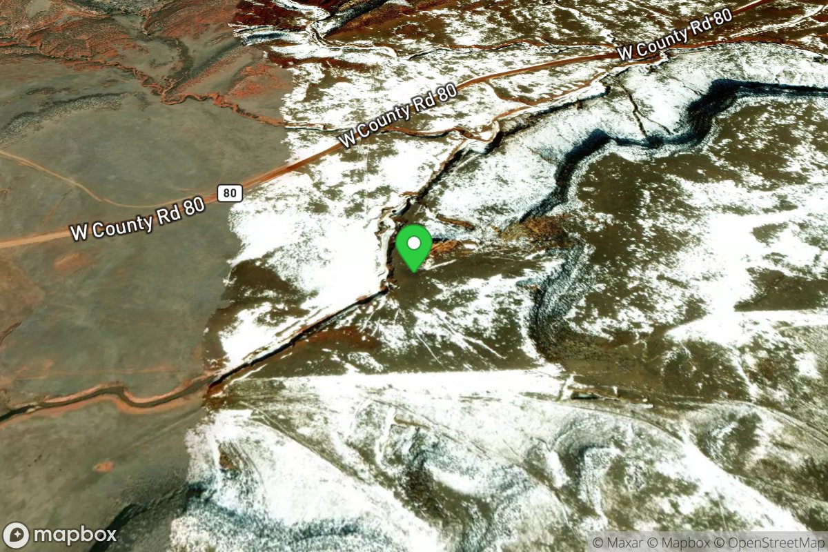
Mystery Meat
Access Site
Park Creek
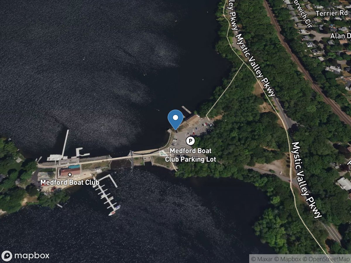
Mystic Lake (Upper)
Access Site
Mystic Lake (Upper)
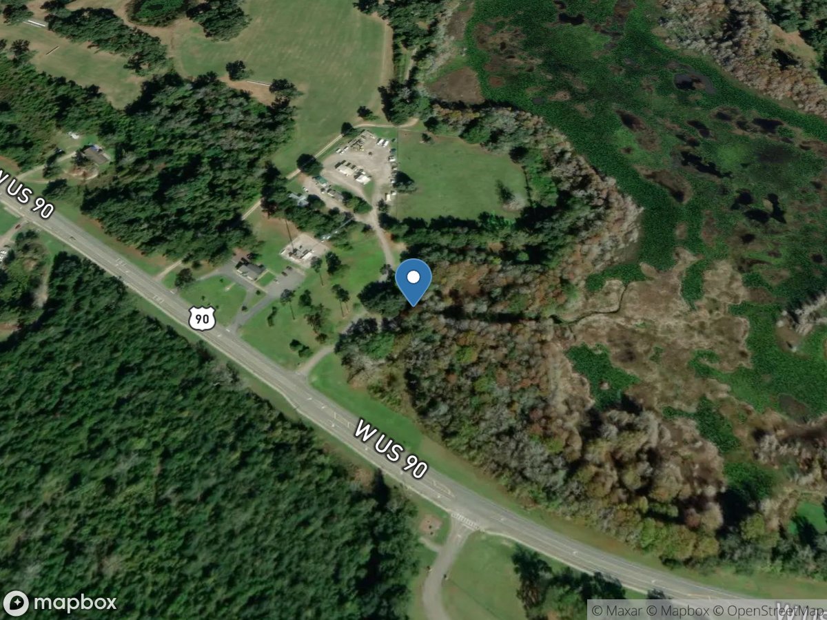
Mystic Lake Roadside Park and Public Boat Ramp
Access Site
Mystic Lake
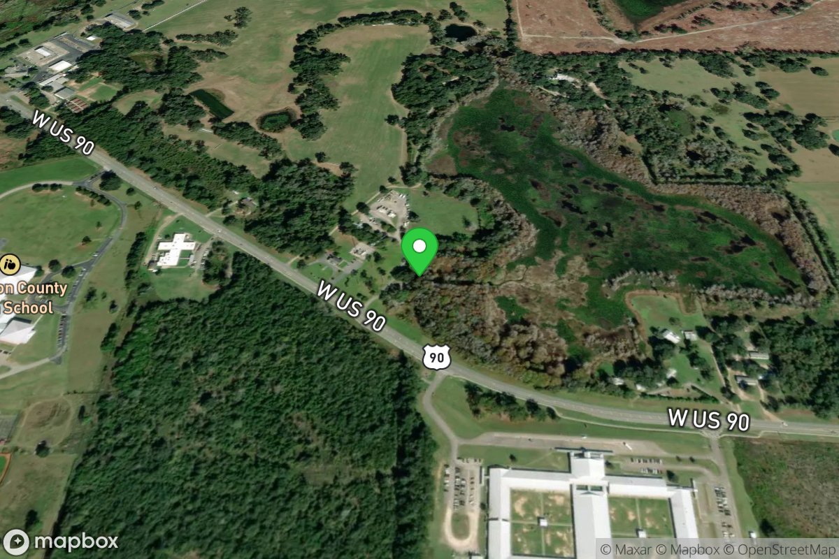
Mystic Lake Roadside Park And Public Boat Ramp
Access Site
Mystic Lake
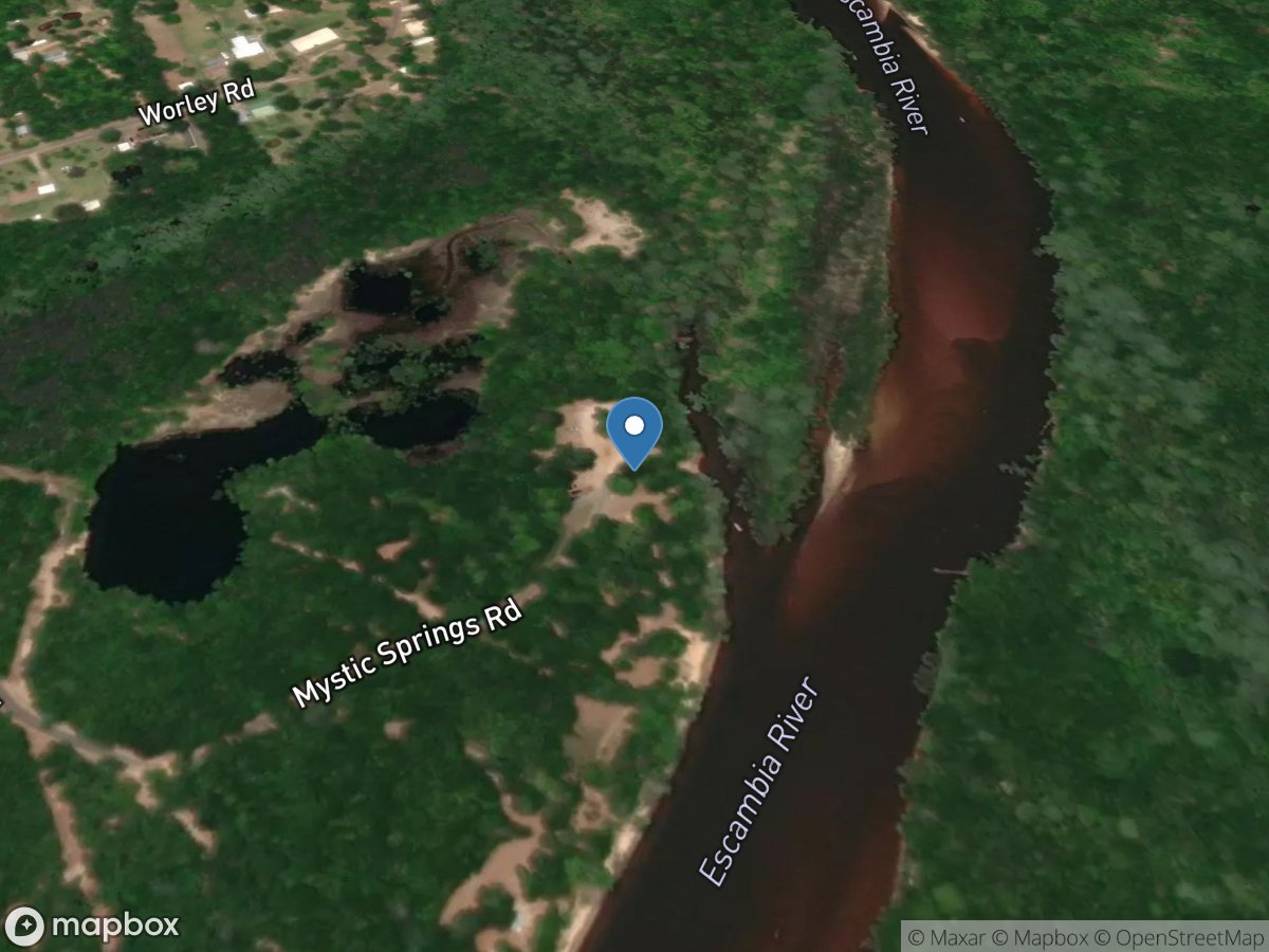
Mystic Springs Landing at McDavid
Access Site
Escambia River
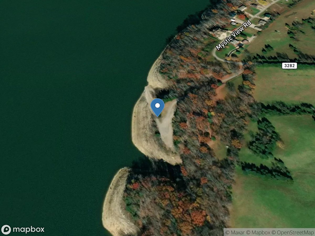
Mystic View
Access Site
Cumberland River - Lake Cumberland
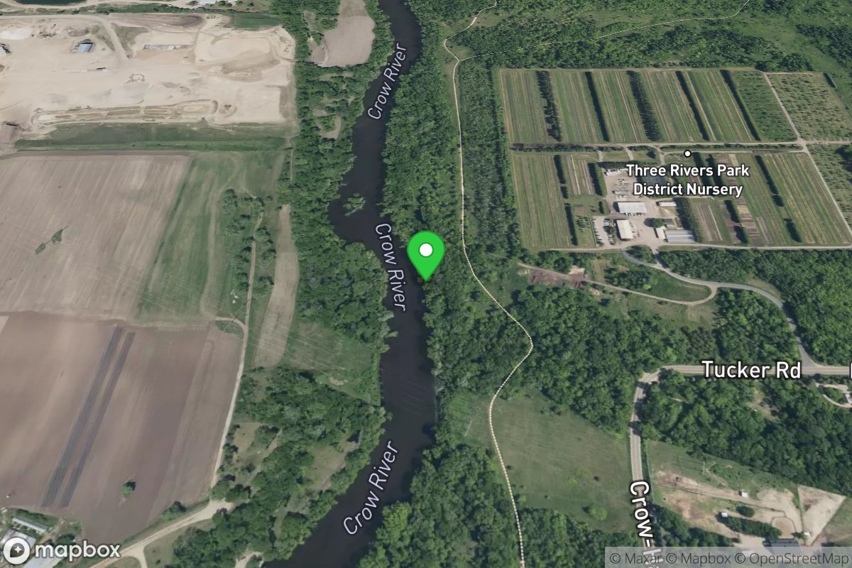
N Crow Fork
Access Site
N Fork Crow River
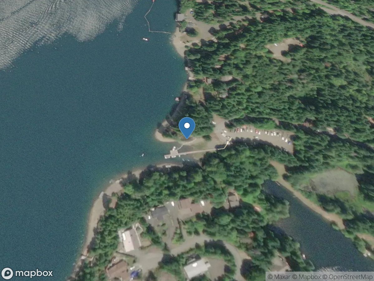
N Deer Lane W
Access Site
Lake Cushman
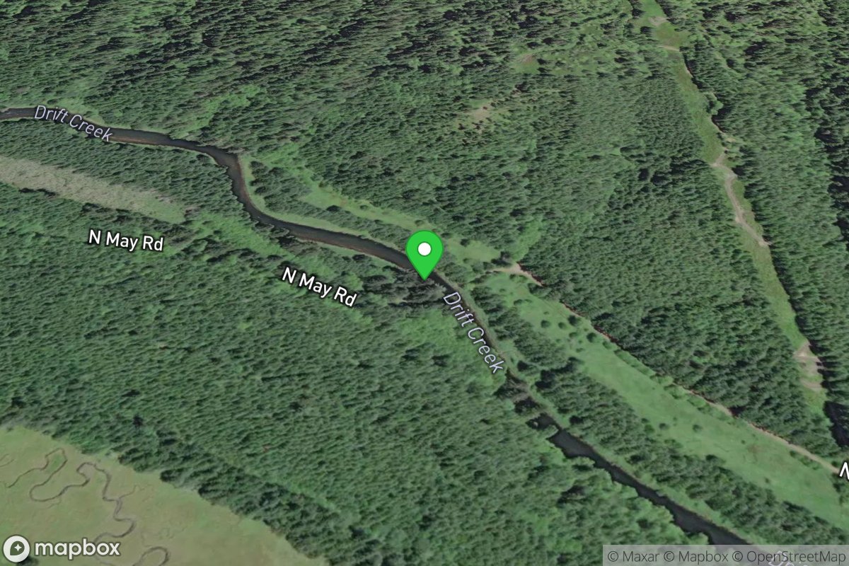
N. May Road Take-Out
Access Site
Drift Creek (Alsea)
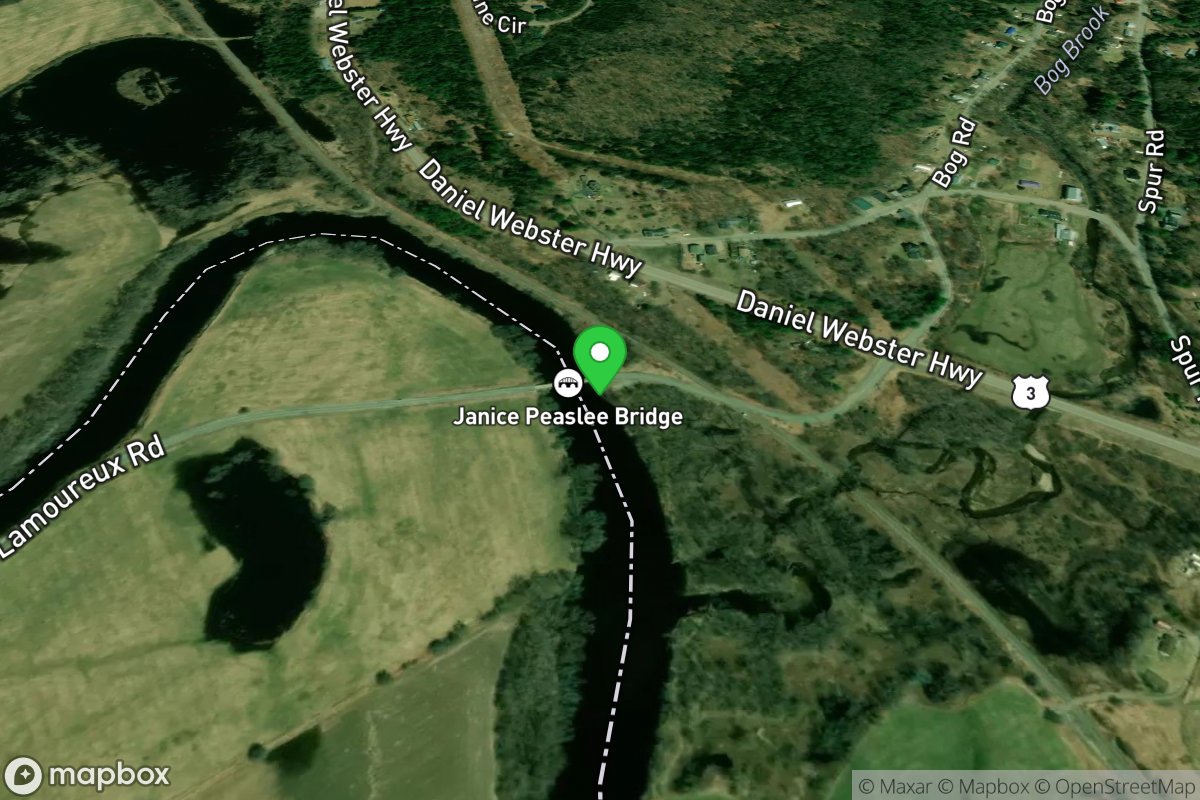
N. Stratford Access
Access Site
Connecticut River
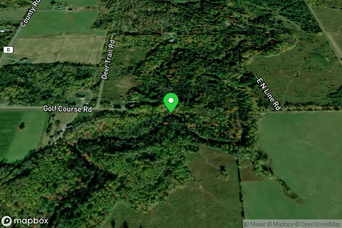
N.Line Road / Deer Trail Road
Access Site
Poplar
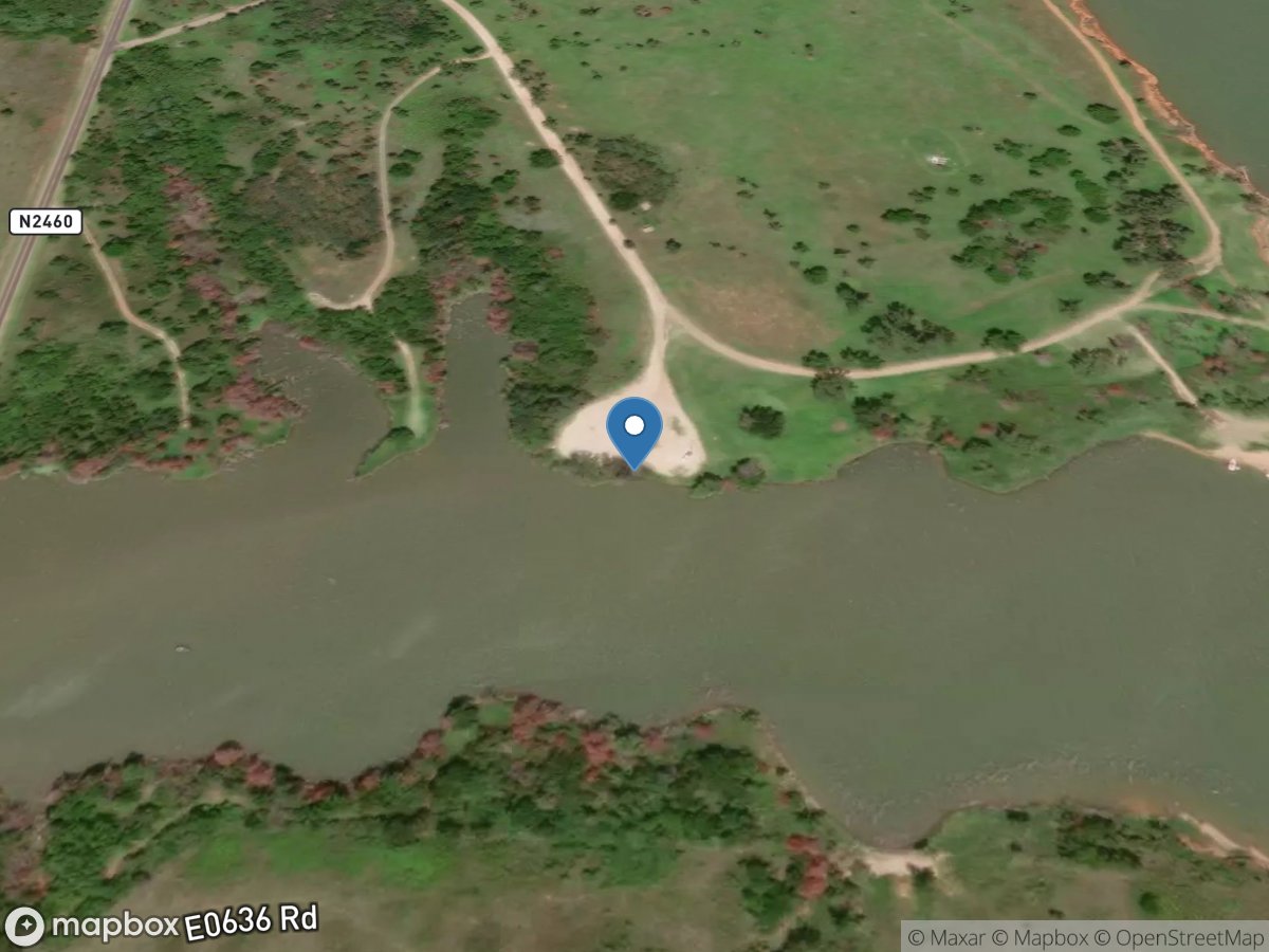
N2460 Road
Access Site
North Canadian River - Canton Lake
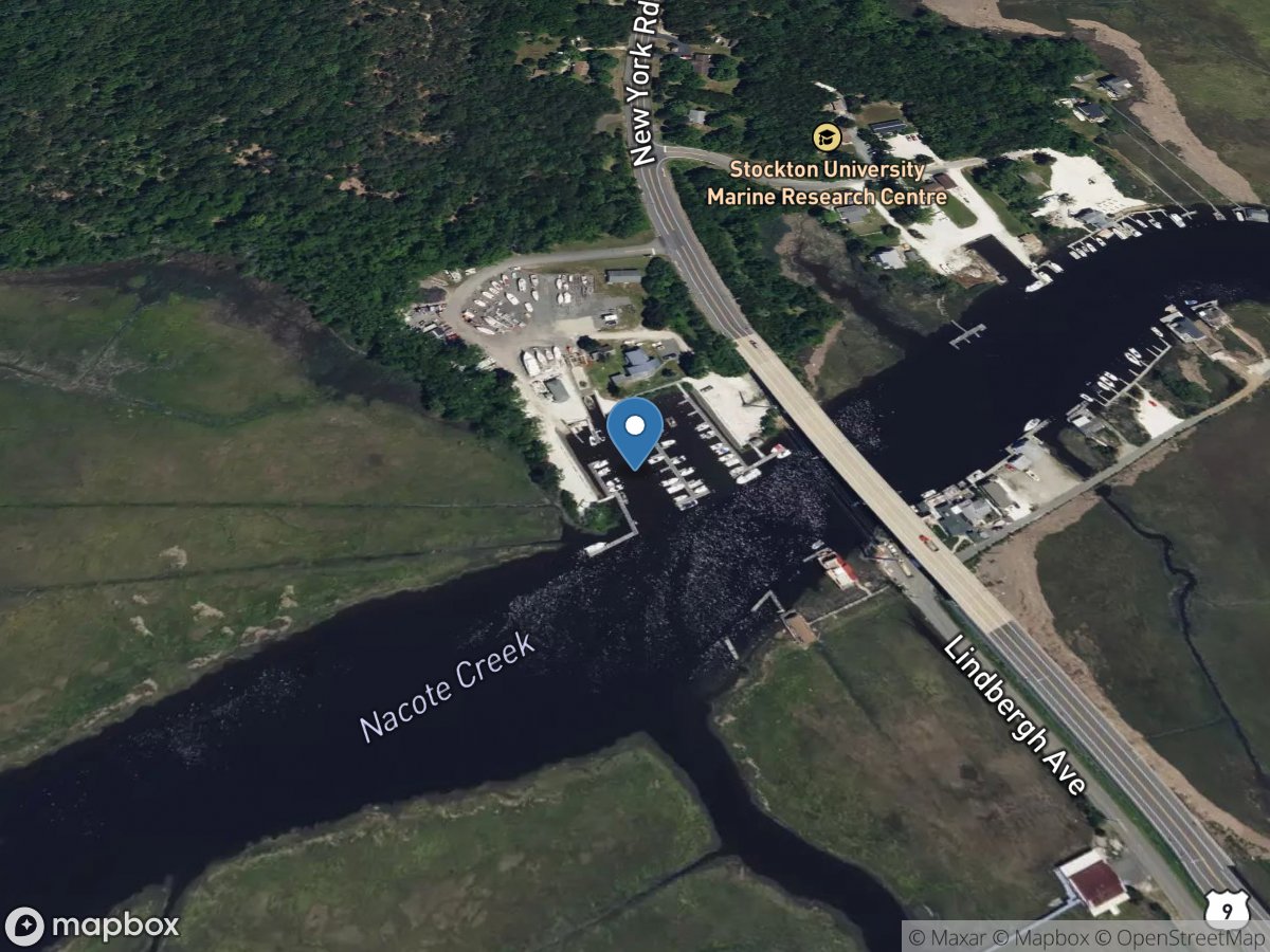
Nacote Creek Marina
Access Site
Nacote Creek