Access Sites
Find mapped boat ramps, launches, and public water access points across the United States.
44,009
Total Sites
24
Loaded
51
Regions
Map view
Explore nearby access
Pan or zoom to load the sites in view, then open a marker for details and directions.
Interactive access map
Loads after the directory is visible.
Loading...
Navigation Tips
- Zoom in to load more sites in your area of interest
- Click on clusters (numbered circles) to zoom into that area
- Click on individual markers for site details and directions
- Use scroll wheel or pinch to zoom, drag to pan
Directory results
Loaded access sites
The list reflects the current page and can be narrowed with the search field.
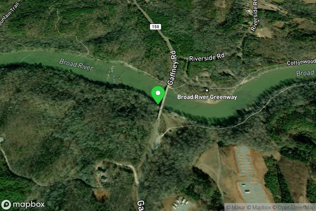
NC Highway 150 Bridge
Access Site
Broad River
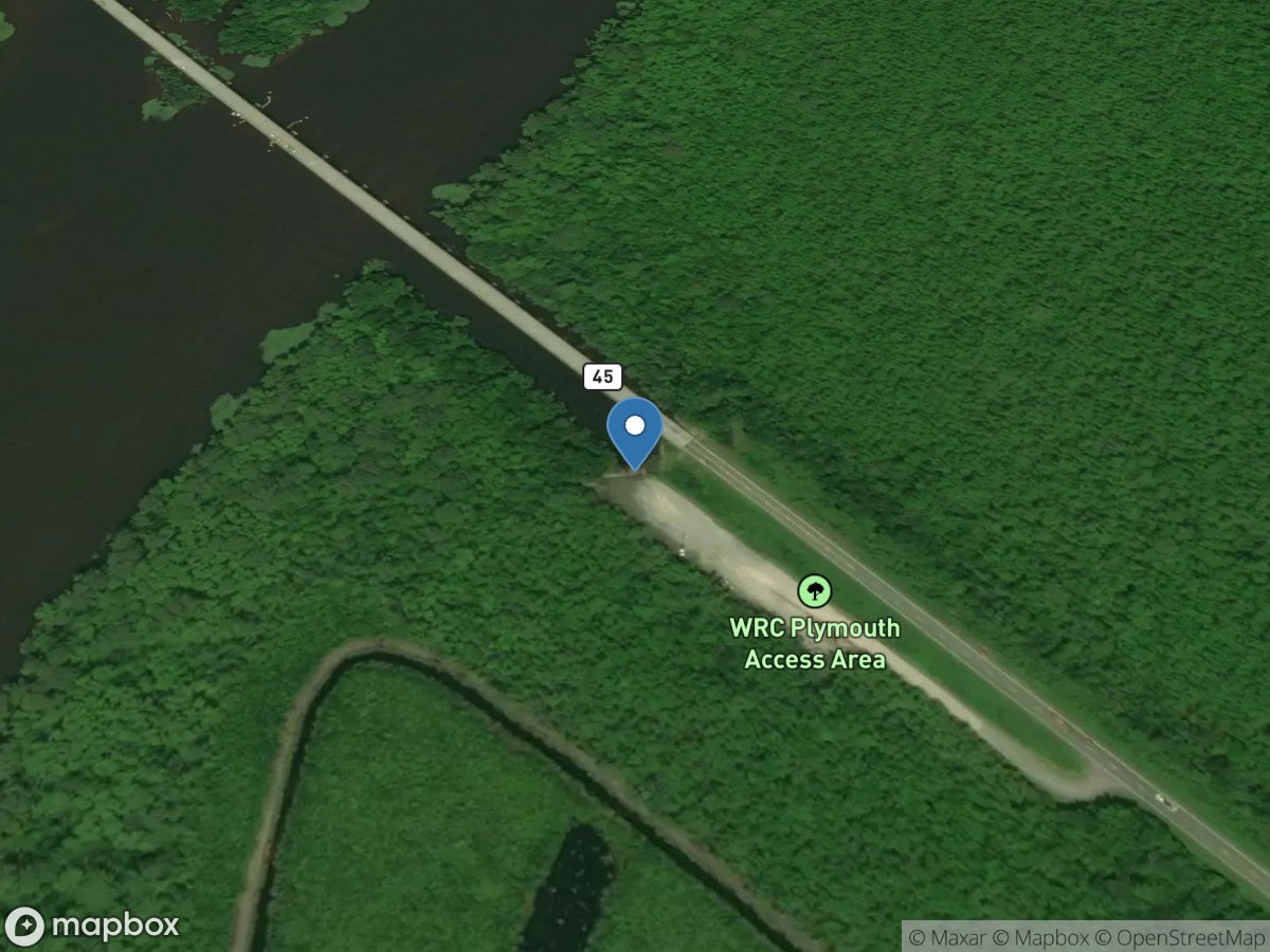
NC Highway 45 Bridge Access
Access Site
Roanoke River
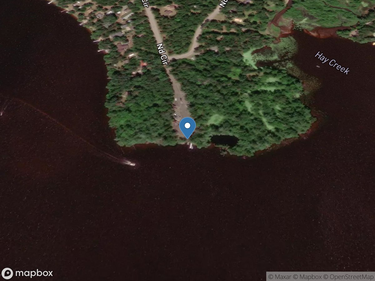
ND Circle
Access Site
Eau Claire River - Lake Eau Claire
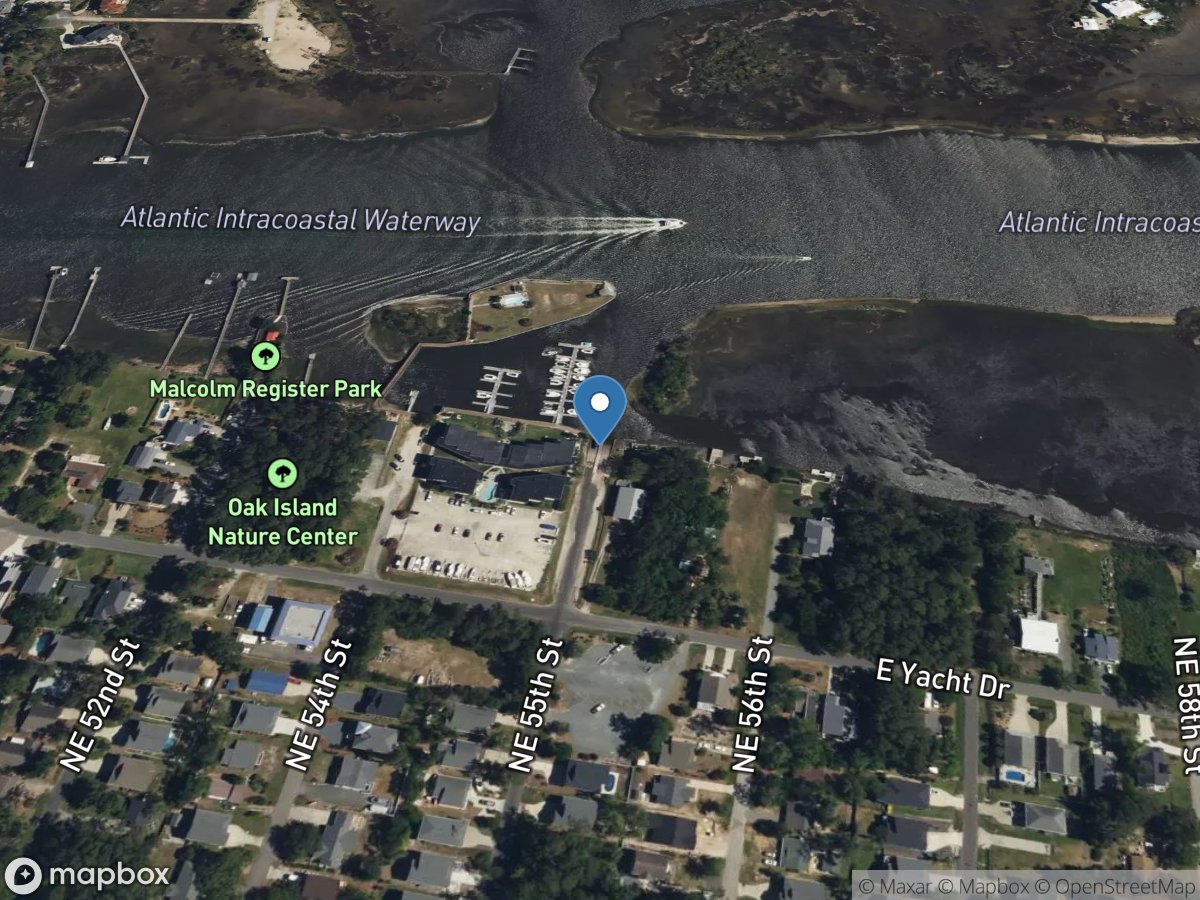
NE 55th Street Municipal Boat Ramp
Access Site
Intracoastal Waterway
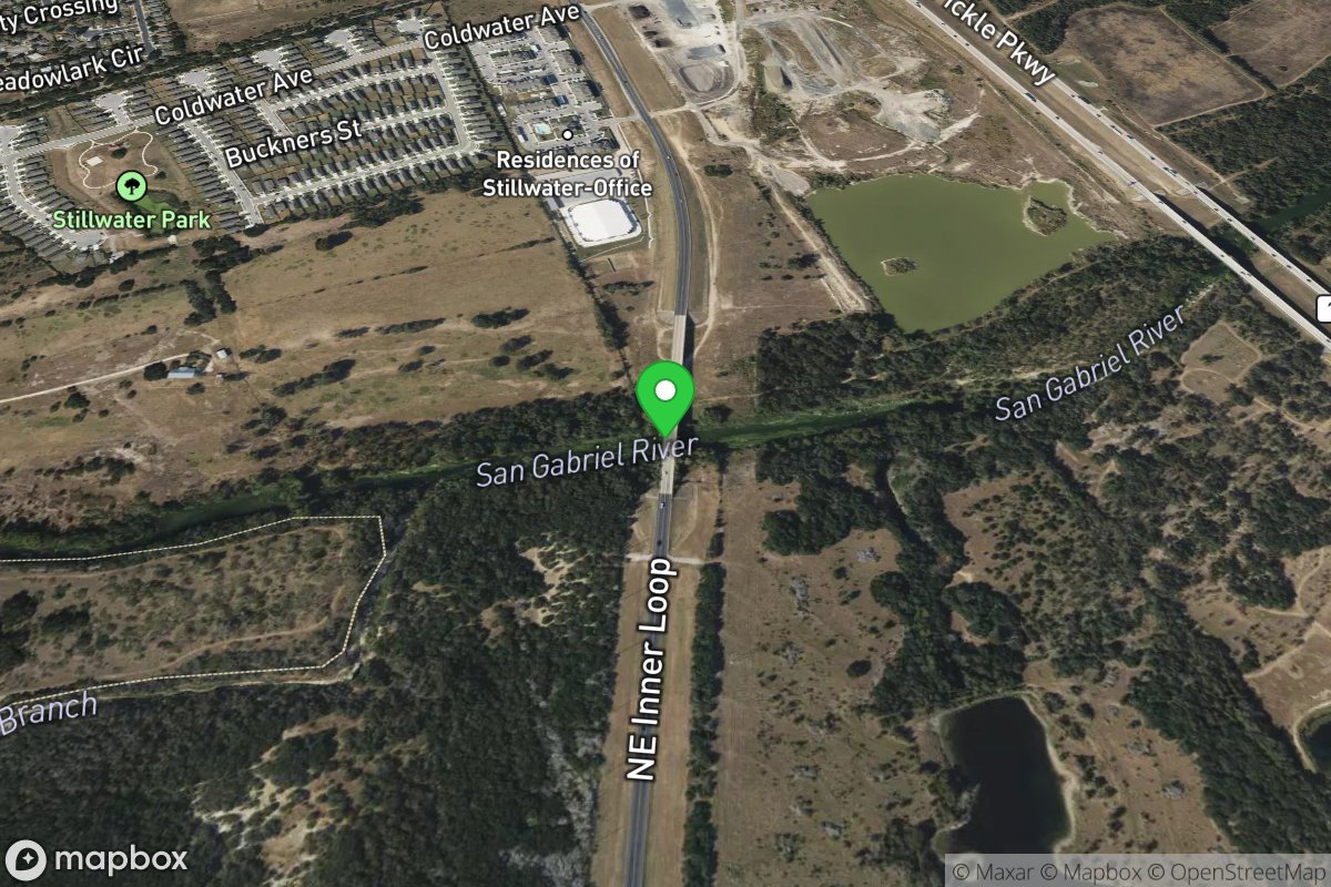
NE Inner Loop
Access Site
San Gabriel
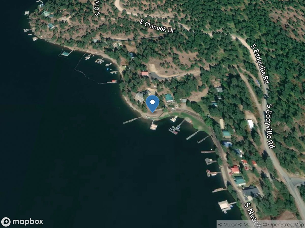
Neacehn Bay (East)
Access Site
Coeur d' Alene Lake
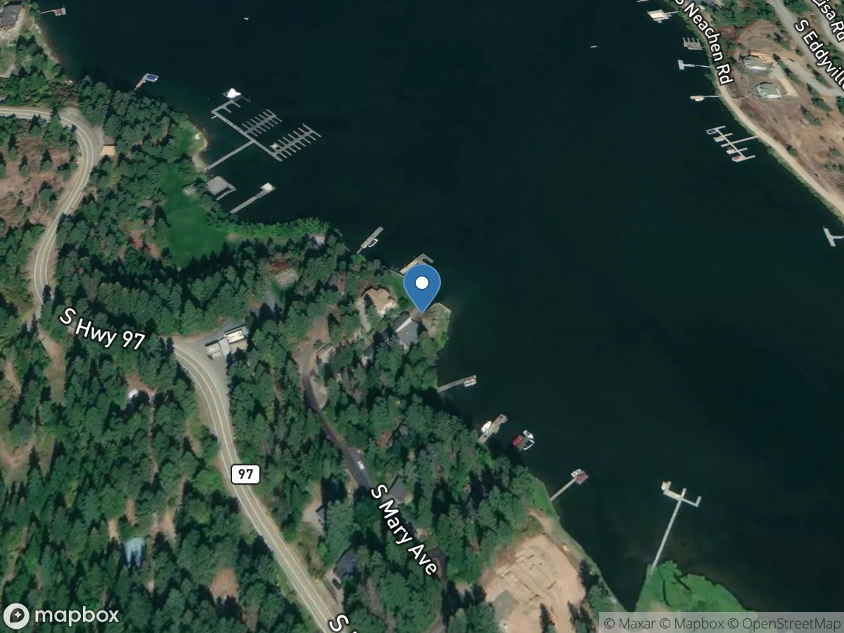
Neachen Bay (West)
Access Site
Coeur d' Alene Lake
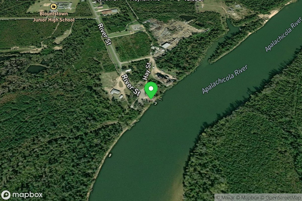
Neal Landing Public Boat Ramp
Access Site
Apalachicola River (Calhoun County)
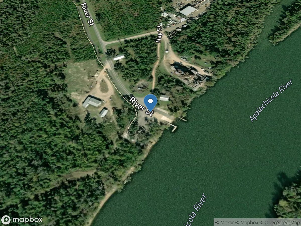
Neal Landing Public Boat Ramp
Access Site
Apalachicola River
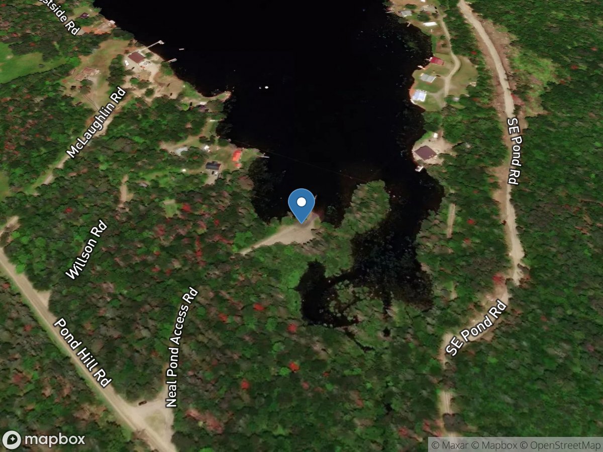
Neal Pond
Access Site
Neal Pond
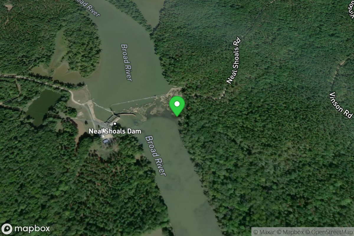
Neal Shoals Dam Canoe Access
Access Site
Broad River
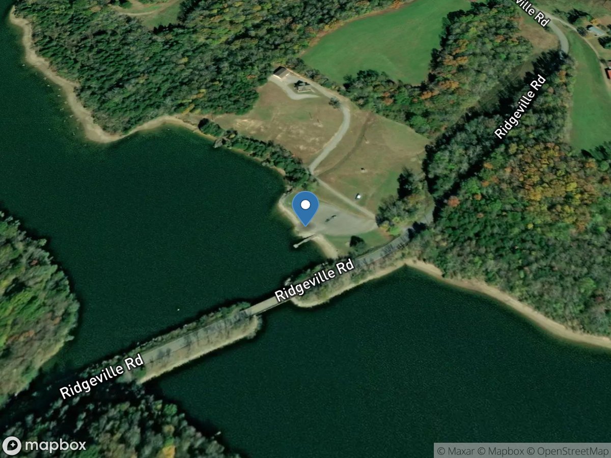
Neal's Bridge
Access Site
Elk River - Tims Ford Lake
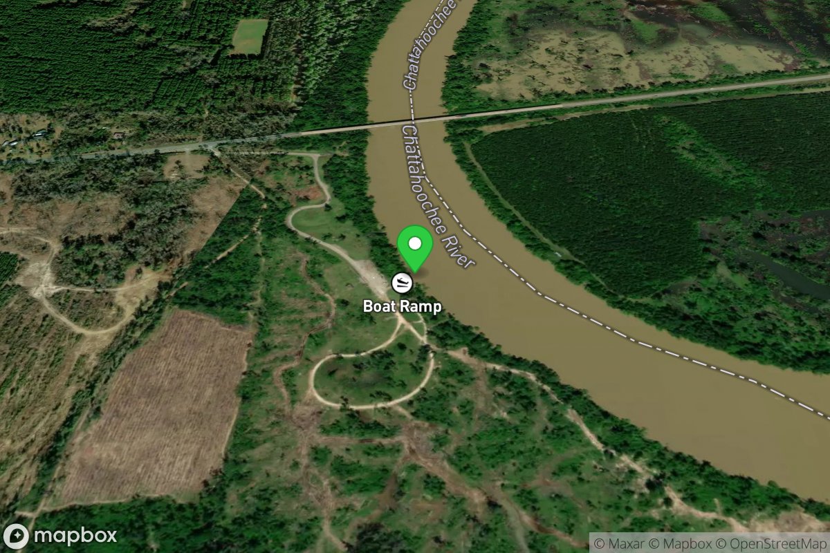
Neal'S Landing
Access Site
Lake Seminole (Jackson County) Chattahoochee River
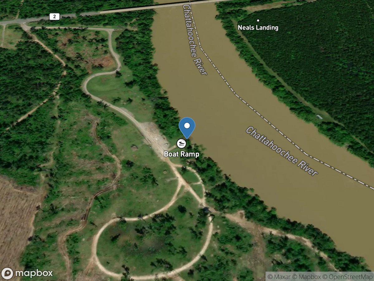
Neal's Landing Public Boat Ramp
Access Site
Lake Seminole
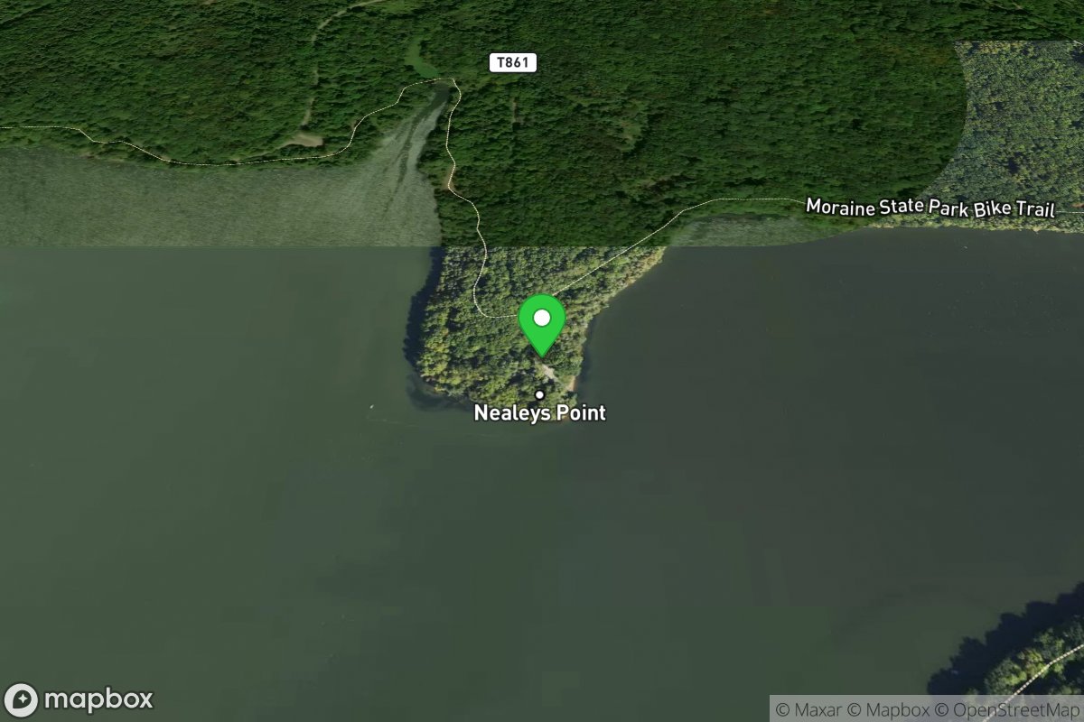
Nealy's Point
Access Site
Lake Arthur
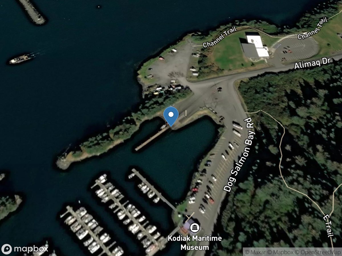
Near Island
Access Site
Pacific Ocean - St. Paul Harbor
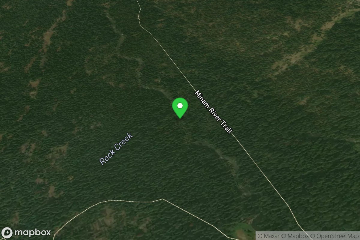
Near Rock Creek
Access Site
Minam
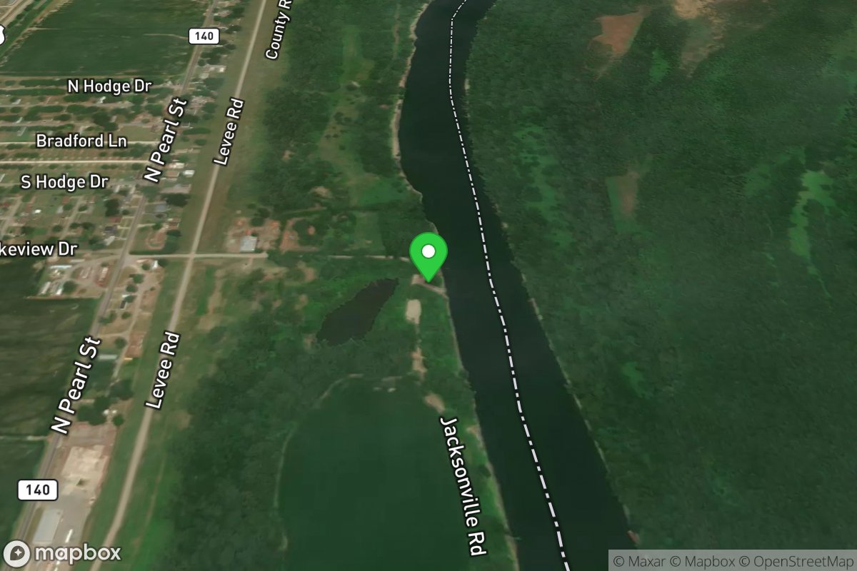
Neark Lake Access
Access Site
Neark Lake
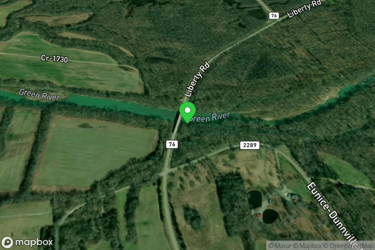
Neatsville Bridge
Access Site
Green River - Upper
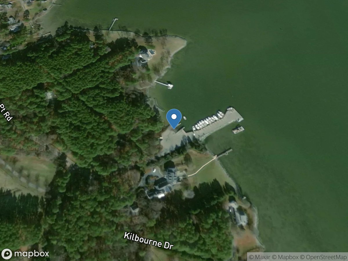
Neavitt Landing
Access Site
Broad Creek
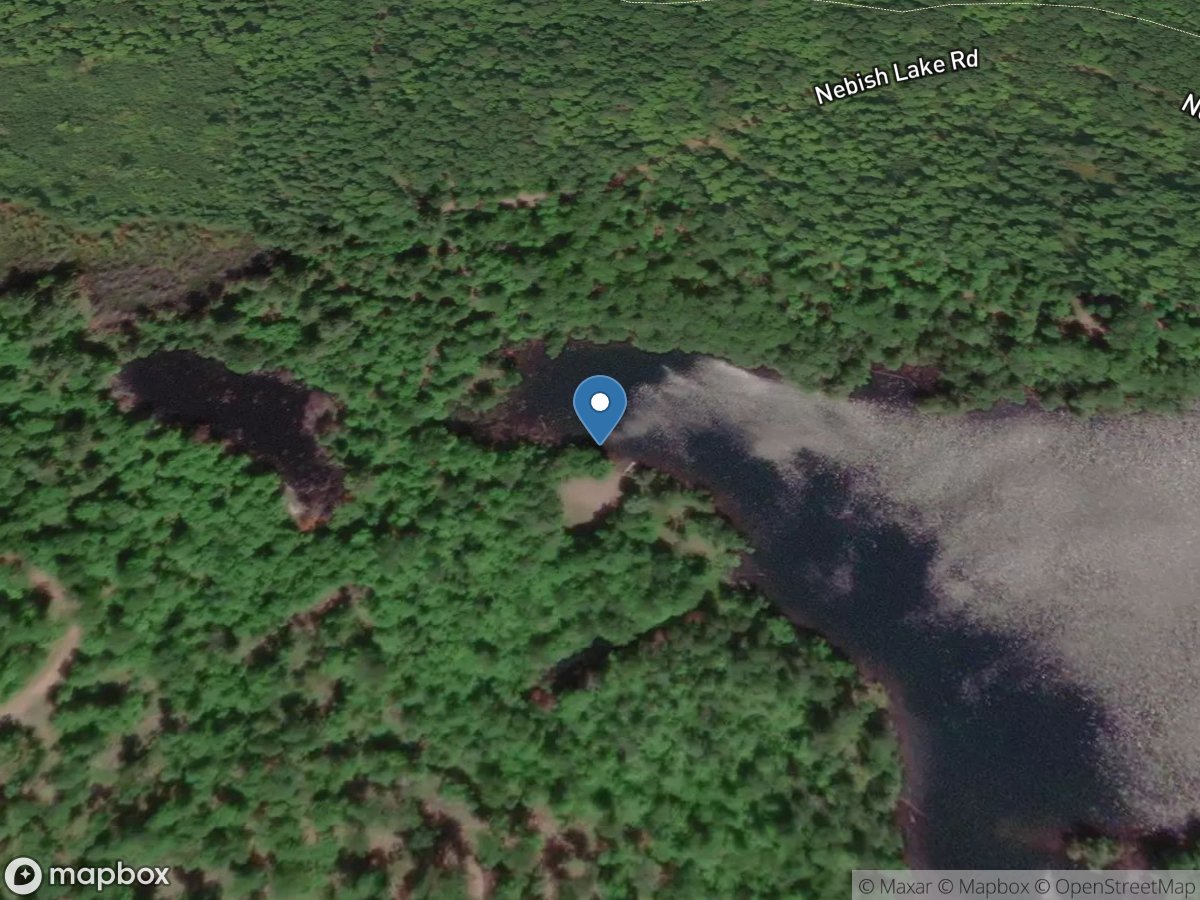
Nebish Lake
Access Site
Nebish Lake
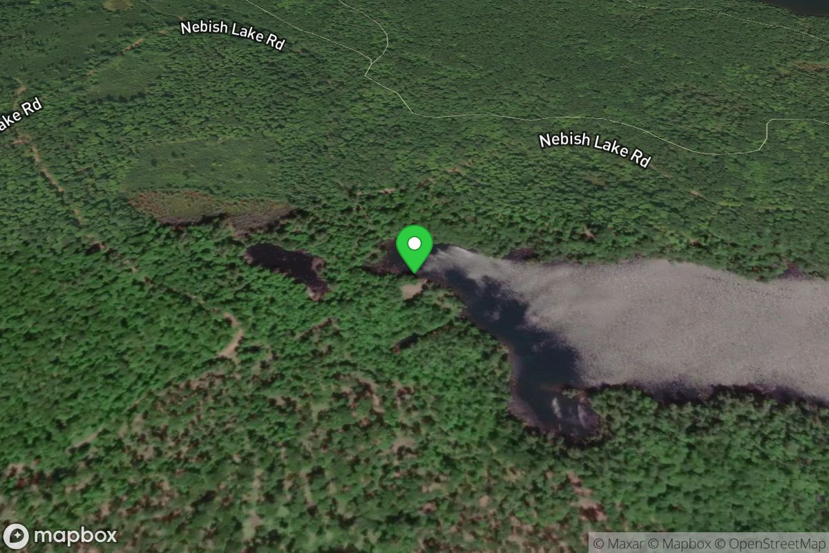
Nebish Lake Access
Access Site
Nebish Lake
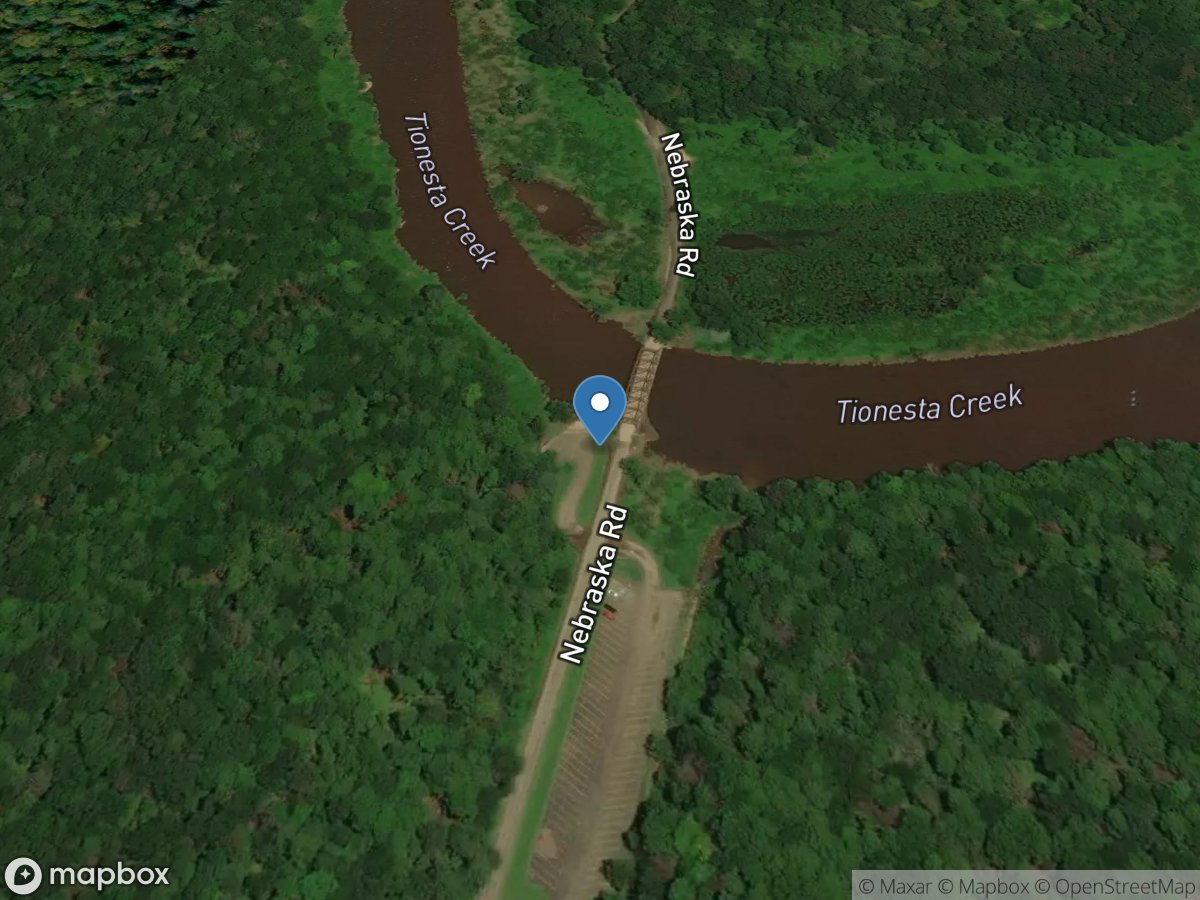
Nebraska
Access Site
Tionesta Lake
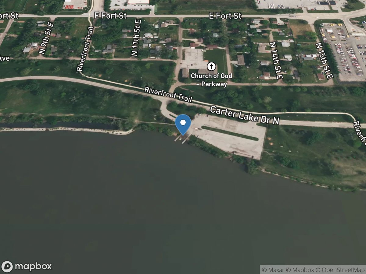
Nebraska boat ramp
Access Site
Missouri River