1) Oak Ridge Dr. to MD.68 (Devils Backbone Park)
Gauge Conditions
Data from American Whitewater & USGS
Run Map
Run Time Estimate
Select put-in and take-out to estimate time.
Plan This Trip
See wind-adjusted speed maps, forecast planning, and detailed time estimates.
Sign in to generate an AI timing estimate for this run.
Whitewater timing varies with scouting, portages, and group pace. Use as a planning baseline.
Description
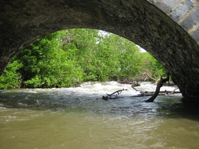
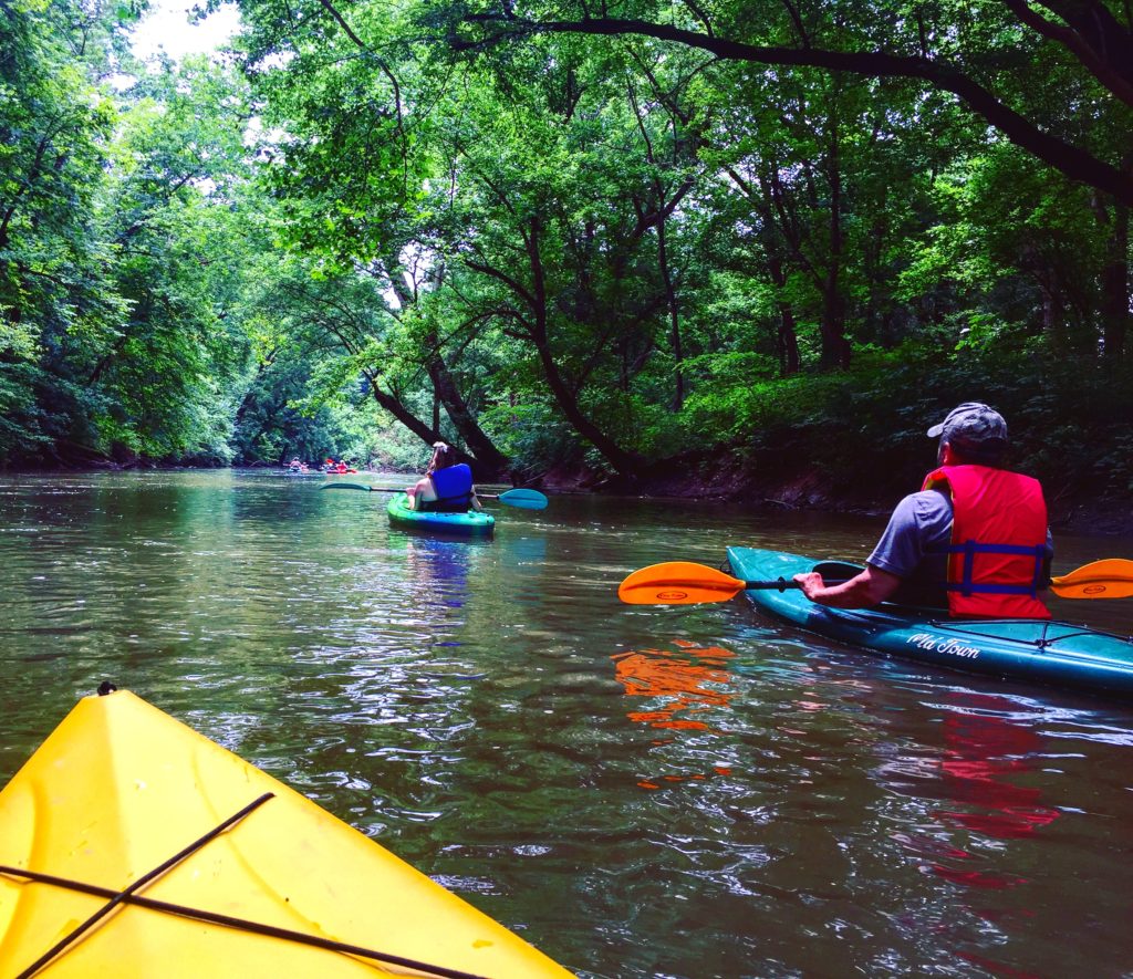
Located SouthEast of Hagerstown, MD, Antietam Creek is a great Class I-II run through beautiful natural scenery.
Put-in (for the 9.9 mile run) is from a lot on southeast side of the Oak Ridge Rd. bridge, just north of I-70. A shorter put-in (resulting in a run of 6.7 miles) is downstream at Wagaman Rd which cuts off about 3 miles of moving water and preserves most of the Class II rapids. Take-out in either case is at Devil's Backbone County Park above the dam. Alternatively, carry the dam and takeout at the MD 68 bridge.
The creek can be floated further upstream during wet periods. See _Maryland and Delaware Canoe Trails_ Gertler, Ed, for the upper reaches.
Description:
There are four Class II rapids on this run, making it a wee bit more difficult than the lower section. Strainers are also a problem on this section, particularly near the end. Some bridge crossings have landowner access issues.
An excellent website about the creek is at Antietam Creek Canoe Co..

Difficulty
Class I-II
Length
10.0 mi
Rapids
5
Access Points
Difficulty Classes
I Easy
II Novice
III Intermediate
IV Advanced
V Expert/Extreme
VI Unrunnable
Current Conditions
5-Day Forecast
Whitewater data from
American Whitewater
American Whitewater