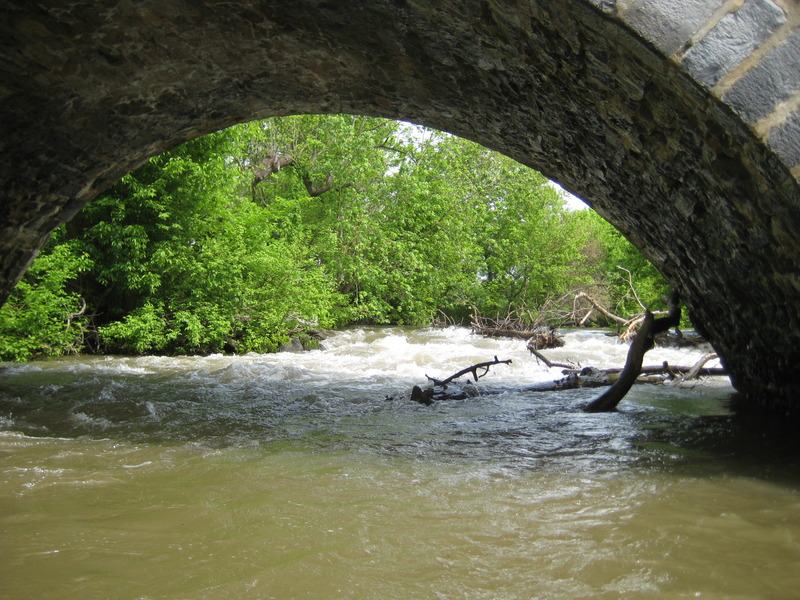
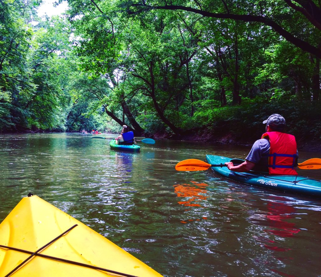
How's Your
River
×
Explore
Explore Map
Water Bodies
Gauges
Access Sites
Tidal Stations
Whitewater
Pricing
Login
Sign Up
Hazard Warning:
Hazard information may be user-submitted and unverified. Conditions change frequently. Always scout rapids and obstacles yourself.
Whitewater
Maryland
Antietam Creek - 1) Oak Ridge Dr. to MD.68 (Devils Backbone Park)
Wagaman Rapid
Rapid
MD
Class II
Wagaman Rapid
Antietam Creek - 1) Oak Ridge Dr. to MD.68 (Devils Backbone Park) (MD)
Monitor this Rapid
Water Body
This Run
Map
Other Rapids
Gauge
Weather
Directions
Gauge Conditions
Antietam Creek near Sharpsburg, MD
Downstream
Primary
Runnable: 3.2 – 7.0 FT
Data from
American Whitewater
&
USGS
Photo
Photo courtesy of
American Whitewater
Description
Wagaman Rapid
Location
Radar
Counties
Cell
Verizon
AT&T
T-Mobile
Dark
Satellite
Terrain
Other Rapids on This Run (7)
Rapid
N/A
Put In - Oak Ridge Dr.
0.0 mi
Rapid
N/A
Short Put-in - Wagaman Road
3.2 mi
Rapid
I+
Unnamed Ledge
4.9 mi
Rapid
II
Barking Dog Ledge
5.8 mi
Rapid
II
Roxbury Rapid
7.9 mi
Rapid
I+
Manard Falls
8.5 mi
Rapid
N/A
Take Out - MD.68 (Devils Backbone Park)
10.0 mi
Type
Rapid
Difficulty
Class II
Mile Marker
3.2 mi
Directions
Navigate
View Full Run
1) Oak Ridge Dr. to MD.68 (Devils Backbone Park)
Antietam Creek
I-II
10.0 mi
Current Conditions
5-Day Forecast
Whitewater data from
American Whitewater
Wagaman Rapid