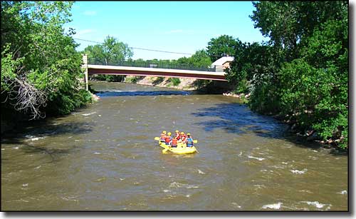
10. Parkdale Launch to Canon City (Royal Gorge)
Gauge Conditions
Runnable: 300.0 – 3,200.0 CFS
Low-moderate to high-moderate flows.
Data from American Whitewater & USGS
Run Map
Description
Run Length: 10.5 miles
Gradient: 46 FPM
Put-in: Parkdale Recreational Launch Site, (12 miles West of Cañon City on Colorado US HWY 50.)
There is a sign for Parkdale Recreation Area. The Arkansas Headwaters Recreation Area is administered by the Colorado Parks and Wildlife.
This is an AHRA put-in. A Colorado Parks and Wildlife Pass will cover you.
Most likely, you will pay the AHRA a Daily Parks Pass for $10 to $12/vehicle (Annual Pass is $80).
The pass covers all occupants of the vehicle.
Take-out: Centennial Park, Cañon City, Colorado.
From US 50 in town turn South towards the river over the 4th St Bridge. Once on river right, continue a block, and turn right on Griffin St. In another half block, turn right into Centennial Park. Good boat ramp in the park and plenty of parking. Keep the scene clean and represent the paddling community in a respectable manner here and everywhere.
Reach Description
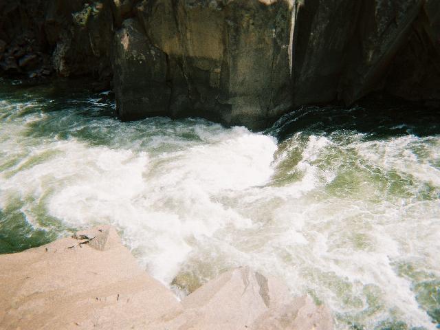
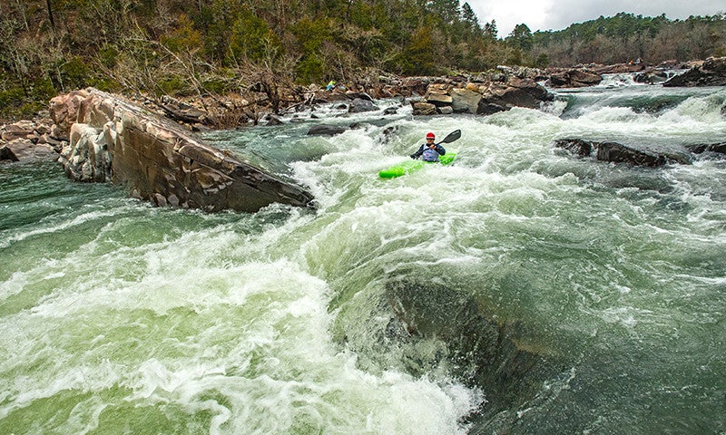
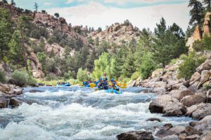
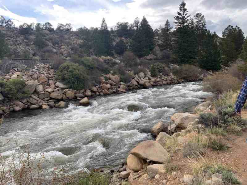
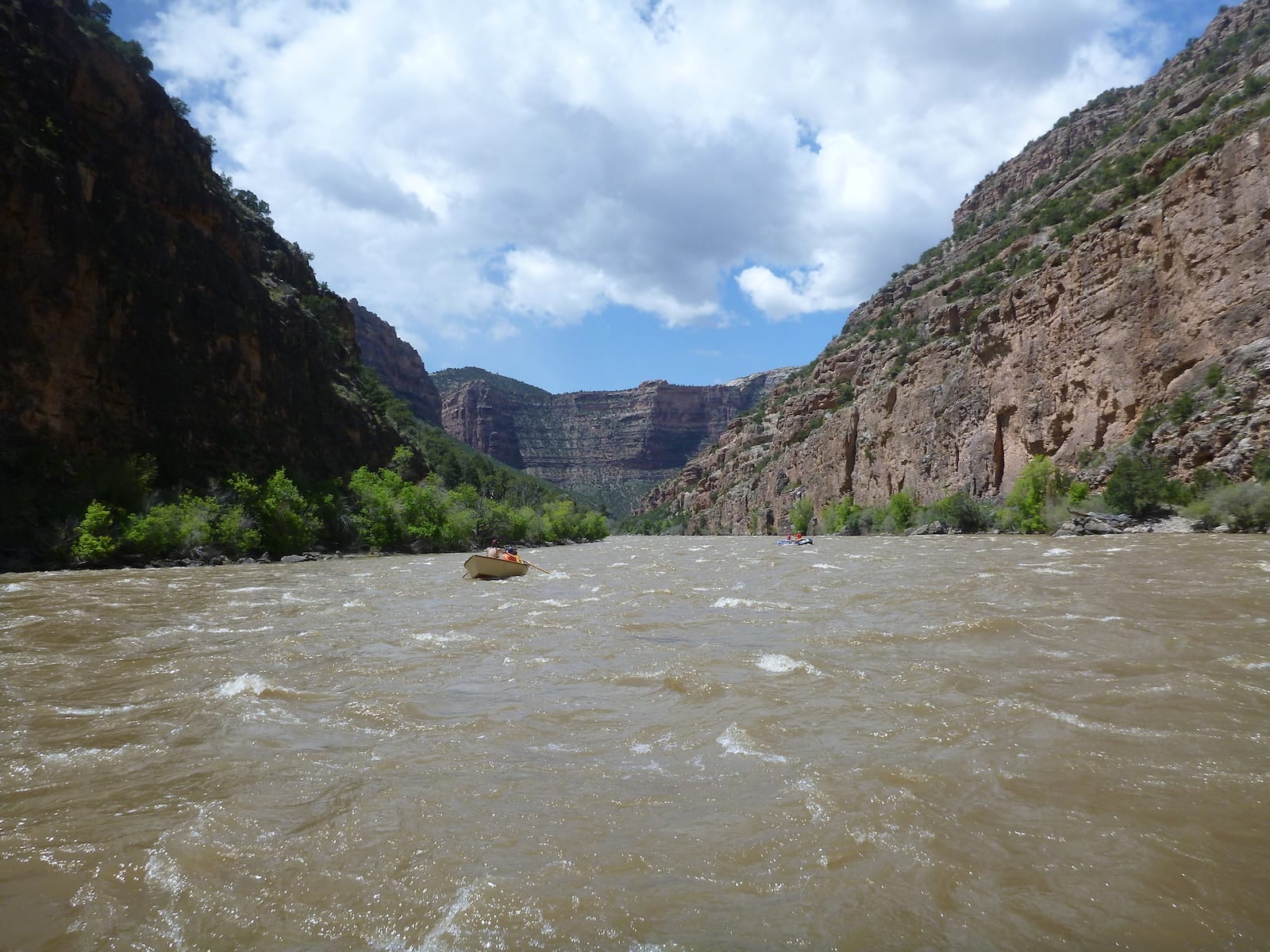
The Royal Gorge run of the Arkansas river descends into a deep gorge and creates a paddlers sanctuary.
Train tracks run along river left for the entire run. Jagged rocks from railroad construction exist in the major rapids and steel rails stick out out of the river in the Narrows at all but the highest flows. On the river right bank are the remains of a pipe that carried water into Cañon City downstream.
The degraded structure is a hazard in a few places.
From the Primero to Ed's Rock there are six miles of rapids. Depending on the flows the run can hold several half mile long wave trains.
The Royal Gorge is over one thousand feet deep and a hundred and fifty feet wide at one point.
There are three miles of flatwater to paddle out. (Don't say the word 'wind'!)
Rapids
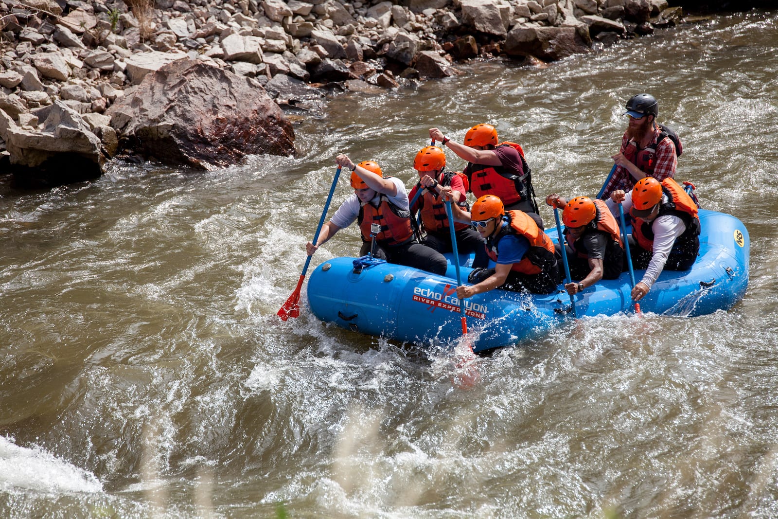
Mile 2.0: Primero, Segundo, Tercero and Pumphouse:
These rapids are in quick succession and offer a nice introduction to the run. They are Class II+ at low flows and rise to big water II at the higher flows. If you are finding the rapids to challeging, there are two options for an exit; the first is to hike the couple of miles back to the put-in. The second option is to hike up the trail that you can see on river left and walk back to US 50. The run is progressively challenging. You are going downriver in a gorge.
Mile 2.5: Hollywood Hole:
A nice play hole for flat spins at most flows. Nice play hole at high flows. Sunshine rapid is just around the corner.
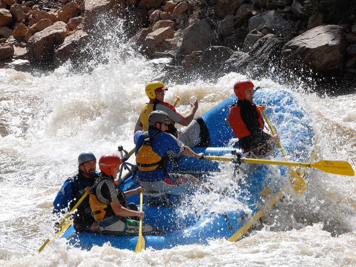
Mile 2.7: Sunshine Rapid: Class III-IV (< 2000cfs), Class IV (at 2000+ cfs), Class IV-V- (> 3,000 cfs):
A very large boulder marks the entrance river right. Consider Sunshine a Class III at moderate flows. There is an elegant S-move at the top at all flows. The rapid is scouted on the right; kayaks can portage on the right as well. Just run it! Its a great rapid.
Mile 2.8: Grateful Dead:
A fast Class III at the highest flows. Leads directly into Sledgehammer.
Mile 2.9: Sledgehammer:
The second crux of the run. Class III to IV+. Typical line is to start hard left and stay left. At high flows only the strongest will want to run the center, though it washes out above 4000 cfs. Sections include Rushmore and Clark's Hole (stay left at the bottom at most flows).
Mile 4.0: The Narrows:
At high flows this is the second hardest section on the river. The water has nowhere to go but up and forms complex long ten foot high wave with holes. Try and stay center. At low flows stay center.
Mile 4.6: The Fishbowl:
Good break spot. There is a viewing area for people that descended the Funicular train from the rim. The Gorge is now a thousand feet deep. Throw a few wave wheels for the tourists.
Mile 4.7: Wall Slammer Rapid:
Stay 20 feet off the right wall - it never exceeds Class III.
Mile 5.2: Boat Eater:
Run right. This hole consumes the left side of the river. It forms around 1200 cfs and just gets bigger and bigger...
Mile 5.5: Soda Rock (Picnic Rock, Corner Pocket):
There is a rock in the center of the river (Soda Rock). Paddle around the right and stop at the beach. It's a nice spot. Picnic Rock is quite visible from upstream. The canyon walls while still over 800 feet high have moved away from the river. Picnic Rock sticks out on river right. Soda Rock goes underwater at about 3500 cfs.\* At 4000 cfs do not eddy out to the right. You will have to portage down a bit to re-enter the river.
Mile 5.7: Unnamed Waves:
At higher flows these are the largest waves on the entire length of the Arkansas River at +/- ten feet.
Mile 5.8: Lion's Head play hole:
Just past the concrete abutment is a play hole at modest to high levels.
Mile 6.5: Ed's Rock: About a tenth of a mile past the water pipe that the river passes under is Ed's Rock, located in the center of the river. Named for Ed Hansen. Touch the rock as you pass by. Ed is a founding member of “Gorge Club” which forms when the river hits 3000 cfs.
The first rule of Gorge Club is: Nobody swims in Gorge Club. The second rule of Gorge Club is: Nobody swims in Gorge Club.
Mile 9.3: The Canon City Wave:
Hazard ! LOW HEAD DAM
Stay Left!! Low Head Dam on right!
At high flows there is an upper and lower hole that can provide a fun end to a day on the Gorge. Over 4000 cfs the top hole is terminal. Paddle left like your life depends on it.
Mile 10.2: Centennial Park Take-out:
Take-out River Right where there is plenty of parking and a bathroom. Whitewater Park being built.
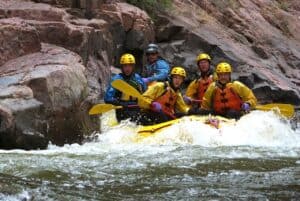
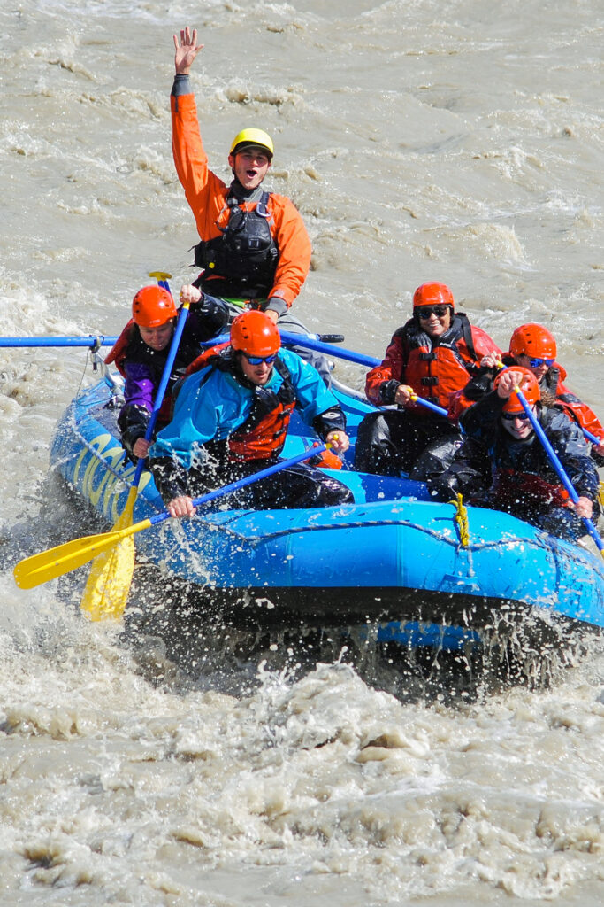
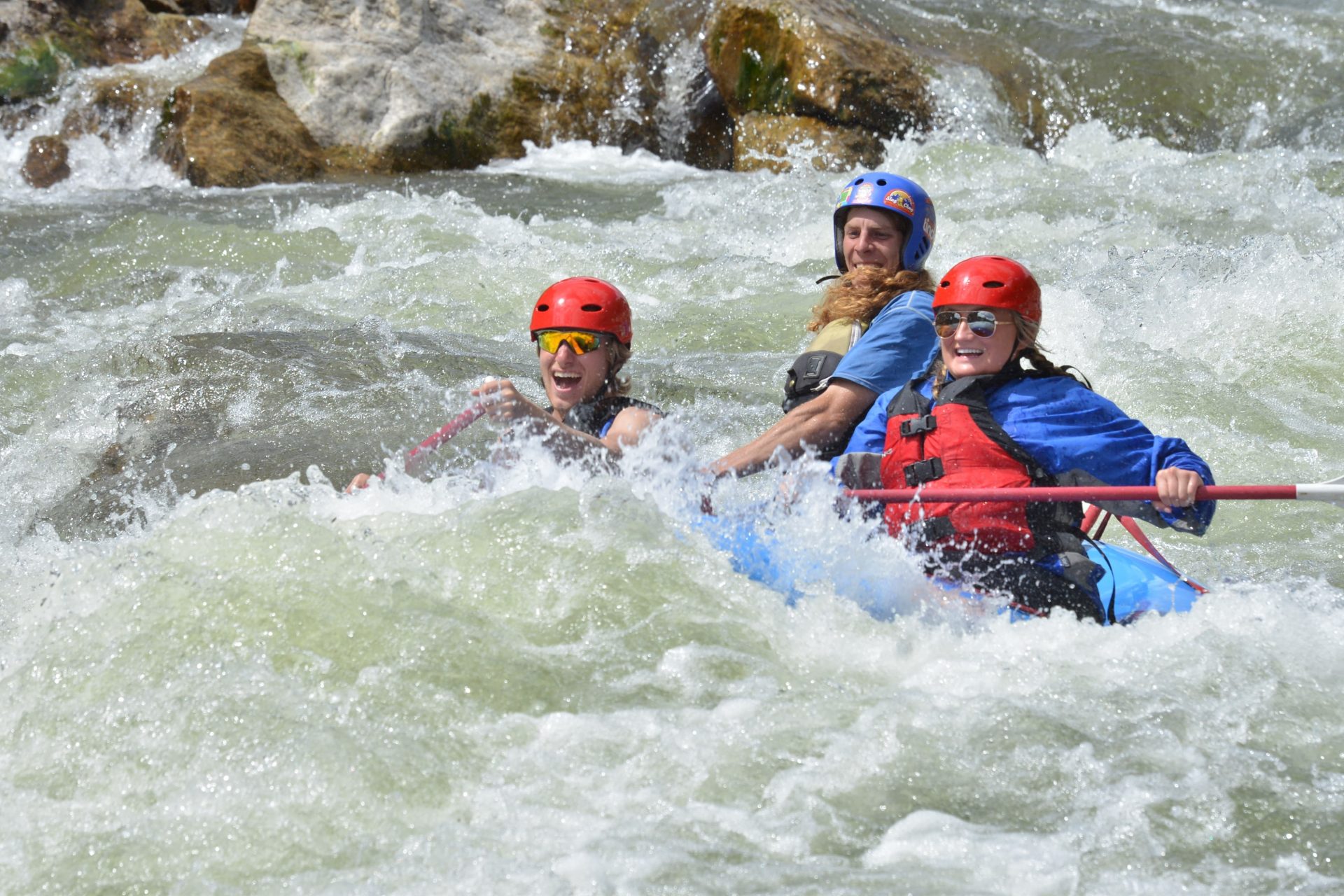
Royal Gorge is a committing Class IV run.
Many consider 3500 cfs to be the most challenging level.
'At this level the Gorge simply pisses excellence'. - *Joe Keck*
Since the river descends into a deep gorge it has a harder 'feel' than it actually paddles.
Interested in finding someone to show you the run? The Pikes Peak Whitewater Club has members doing several runs a week during peak flows. Check out their FB Page.
Consider hiring a guide for your raft trip and always use a Safety Kayaker!
Lat/longitude coords are approximate, from TopoZone.
See also Pinecreek (Class IV/V),
The Numbers (Class IV),
Fractions/ Frogrock/ Milkrun (Class III),
Buena Vista (Class III),
Browns Canyon (Class III),
Salida (Class III),
Rincon (Class III),
Pinnacle Rock (Class III),
Royal Gorge (Class III/IV).
Winter Gauge - Wellsville
www.dwr.state.co.us/SurfaceWater/data/tempchart/ARKWELCOi2yp.png
Rapids in this Run (20)
 Rapid
III
Rapid
III
El Primero
 Rapid
II+
Rapid
II+
El Segundo
 Rapid
II
Rapid
II
El Tercero
 Rapid
III
Rapid
III
Pumphouse / Dam rapid
Caretakers
 Rapid
IV
Rapid
IV
Sunshine Falls
 Rapid
III+
Rapid
III+
The Greatful Dead
 Rapid
IV
Rapid
IV
Sledgehammer
 Rapid
IV
Rapid
IV
Hey Diddle Diddle / Car Crash
 Rapid
IV
Rapid
IV
The Narrows
 Rapid
IV
Rapid
IV
Wall Slammer
 Rapid
III
Rapid
III
Corkscrew
 Rapid
IV
Rapid
IV
Boat Eater
 Rapid
IV
Rapid
IV
Triple Drop
 Rapid
IV
Rapid
IV
Corner Pocket
 Rapid
III+
Rapid
III+
Lions Head
 Rapid
III+
Rapid
III+
Tombstone
 Rapid
III
Rapid
III
Risky Business
 Rapid
III
Rapid
III
Pipeline
 Rapid
II+
Rapid
II+
Diversion Dam
Hazards & Portages (1)
Caution: The following locations may require scouting or portaging. Always check current conditions.
Difficulty
Class III-IV(V)
Length
10.0 mi
Gradient
46 ft/mi
Rapids
20
1 Hazard
Access Points
Difficulty Classes
I Easy
II Novice
III Intermediate
IV Advanced
V Expert/Extreme
VI Unrunnable
Current Conditions
5-Day Forecast
Whitewater data from
American Whitewater
American Whitewater