12. McCreery to Thurmond
Gauge Conditions
Runnable: 1.3 – 9.8 FT
Data from American Whitewater & USGS
Run Map
Run Time Estimate
Select put-in and take-out to estimate time.
Plan This Trip
See wind-adjusted speed maps, forecast planning, and detailed time estimates.
Sign in to generate an AI timing estimate for this run.
Whitewater timing varies with scouting, portages, and group pace. Use as a planning baseline.
Description
The National Park Service calls Silo Rapids class 3. Ledges is also a class 3.
NPS Guide to paddling the New River
NPS map of the New & Gauley Rivers
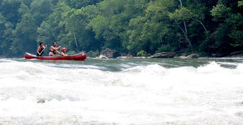
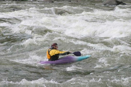
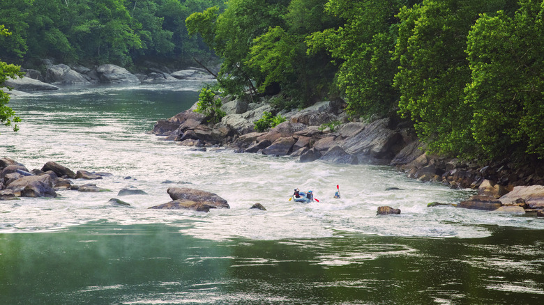
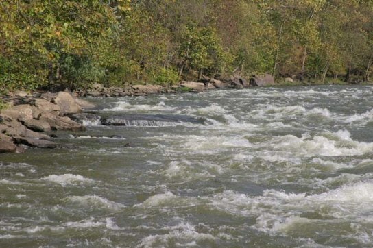
This is a great mild whitewater run. For instance, it's a good run for those who don't feel up to either the Upper or Lower Gauley at fall release levels. All rapids are straightforward and are easily boat-scoutable. The few mild holes and hazards can all be avoided by staying river center. There is supposedly an undercut rock on the river-right bank at the bottom of Silo rapid.
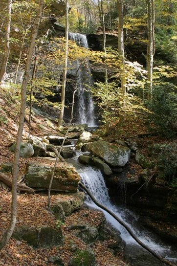
There is a great side excursion about halfway into the run. Dowdy Ck enters on river right through a tunnel and there is waterfall you can walk up to and underneath ( picture of waterfall). Commercial trips often stop here to eat lunch on river left and afterwards take their guests to the waterfall across the river.
Posted by UncleFuzzy to BoaterTalk:
McCreery to Stone Cliff (most paddlers take out at Stone Cliff for an 11.1-mile float, not at Thurmond for a 12.5-miler)
Cross to the river-right side on Route 41 and turn left onto CR-25, then follow it all the way to Stone Cliff.
Or take Route 41 south (toward Beckley) and then go right on Route 61. When you get to Glen Jean, find CR-25 and take it down to Thurmond.
When you get to Thurmond, CR-25 will turn right and follow the New upstream to Stone Cliff.
Rapids in this Run (5)
Waterfalls (1)
Difficulty
Class II-III
Length
13.0 mi
Gradient
8 ft/mi
Rapids
5
Access Points
Difficulty Classes
I Easy
II Novice
III Intermediate
IV Advanced
V Expert/Extreme
VI Unrunnable
Current Conditions
5-Day Forecast
Whitewater data from
American Whitewater
American Whitewater