Rapid
WV
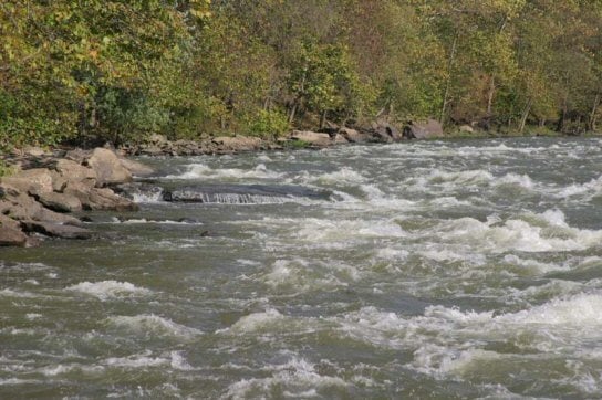
Thayer River Access - River Right
Save this feature with the run it belongs to.
Gauge Conditions
Data from American Whitewater & USGS
Photo
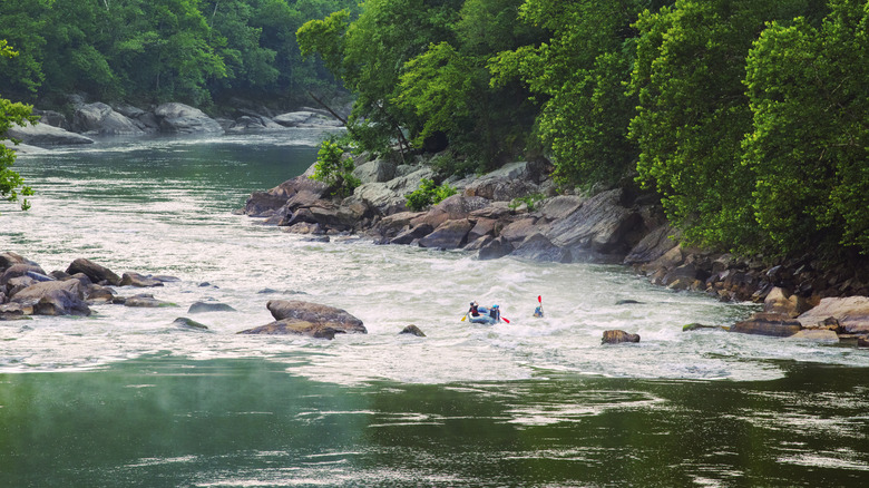
Photo courtesy of American Whitewater
Description
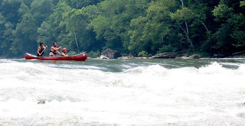
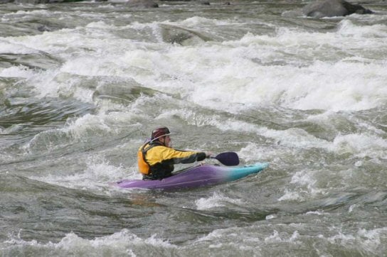
The Thayer River Access on the New River provides a critical entry point for boaters accessing the river's challenging downstream section. While specific rapid details are limited, this river right access point likely serves as a strategic launch and potential scout location for navigating the surrounding whitewater terrain between McCreery and Thurmond. Paddlers should carefully assess river conditions and potential hazards before putting in, as the New River's characteristics can vary significantly with water levels.
Location
View Full Run
12. McCreery to Thurmond
New
II-III
13.0 mi
Current Conditions
5-Day Forecast
Whitewater data from
American Whitewater
American Whitewater