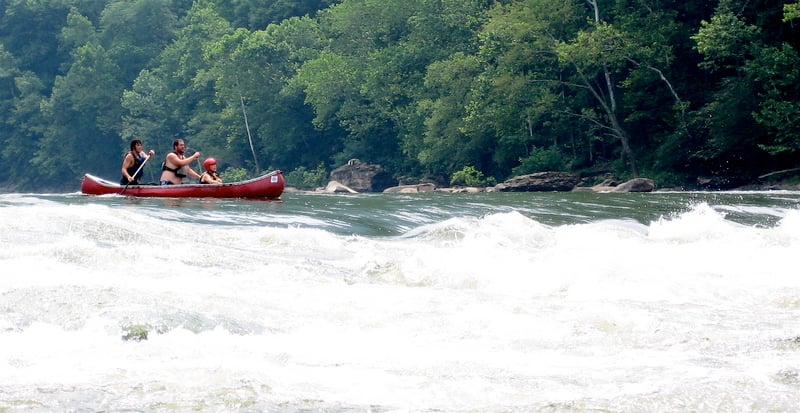
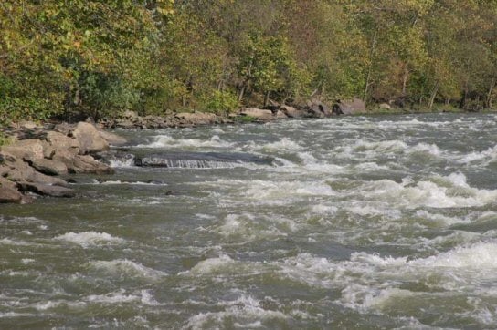
"White House" Rapids
Save this feature with the run it belongs to.
Gauge Conditions
Data from American Whitewater & USGS

View Full Run
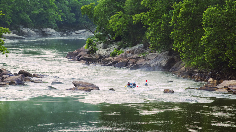
12. McCreery to Thurmond
New
II-III
13.0 mi
Current Conditions
5-Day Forecast
Whitewater data from
American Whitewater
American Whitewater