2. Clinch Mt. Landing to Hayters Gap (Rt. 80)
Gauge Conditions
Runnable: 500.0 – 2,500.0 CFS
Data from American Whitewater & USGS
Run Map
Run Time Estimate
Select put-in and take-out to estimate time.
Plan This Trip
See wind-adjusted speed maps, forecast planning, and detailed time estimates.
Sign in to generate an AI timing estimate for this run.
Whitewater timing varies with scouting, portages, and group pace. Use as a planning baseline.
Description
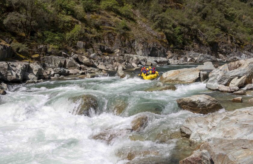
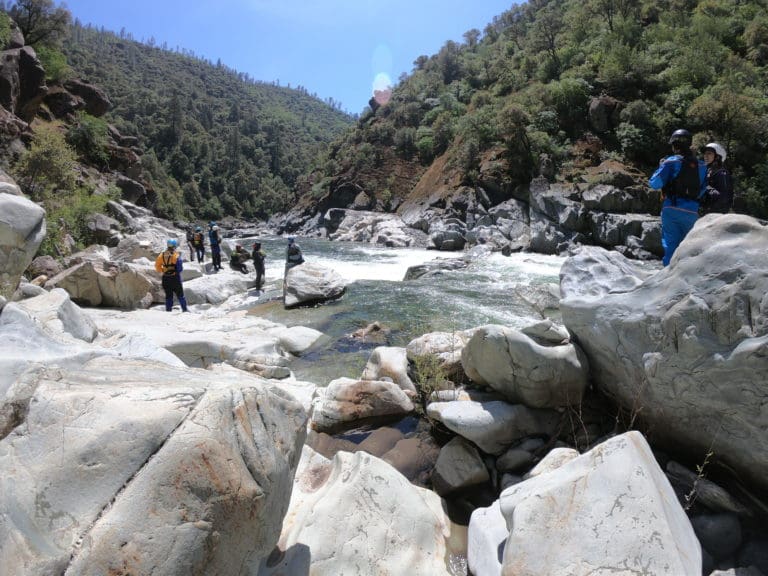
This is a pleasant, peaceful float with intermittent whitewater to keep things interesting. The view from the road is a little deceptive since many of the rapids are in the bends away from the road. Rapids of note are the series in the bend after Tumbling Creek (II+) about 2 miles downstream of the put-in, and Falls Hill Rapid (III), easily portaged, about 3 miles above Rt. 80. Also don't miss the tributary waterfall about 6 miles in on the left. Despite the road, which is usually out of sight and very lightly trafficked, and occasional houses, this stretch has a remote, quiet feel to it.
See Also:
_Classic Virginia Rivers,_ Ed Grove (1992 ed), p. 337.
_Virginia Whitewater_, Roger Corbett (2000 ed.), p. 413.
_Exploring Virginia's Waterways_, Ed Gertler (2022 ed.), p. 378.
Rapids in this Run (3)
Difficulty
Class II(III)
Length
11.0 mi
Gradient
12 ft/mi
Rapids
3
Access Points
Difficulty Classes
I Easy
II Novice
III Intermediate
IV Advanced
V Expert/Extreme
VI Unrunnable
Current Conditions
5-Day Forecast
Whitewater data from
American Whitewater
American Whitewater