Falls Hill Rapid
Save this feature with the run it belongs to.
Gauge Conditions
Data from American Whitewater & USGS
Photo
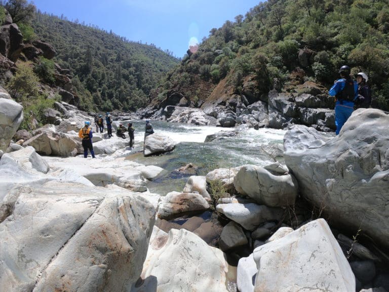
Photo courtesy of American Whitewater
Description
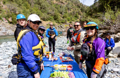
Odd river-geology interaction here with ledges almost parallel with the flow, shifting the water to the right. The rapid is best scouted from the road during the shuttle. Most of the volume is on the far right; enter 10-15 feet off the right bank. To portage, stay left, land on a ledge, and pull your boat over. At higher flows there are probably some alternate routes on the left. Below the rapid there's a good surfing wave with excellent eddy service on the right bank. Photo taken at 700 cfs.
Location
Interactive river map
Loads as you approach this section.
View Full Run
2. Clinch Mt. Landing to Hayters Gap (Rt. 80)
Holston, North Fork
II(III)
11.0 mi
Current Conditions
5-Day Forecast
Whitewater data from
American Whitewater
American Whitewater