Tumbling Creek rapids
Save this feature with the run it belongs to.
Gauge Conditions
Data from American Whitewater & USGS
Photo
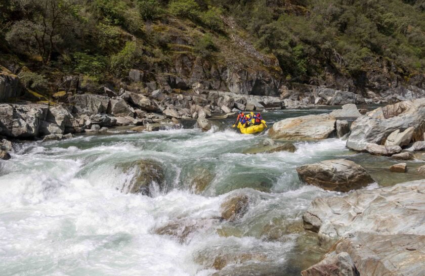
Photo courtesy of American Whitewater
Description
Just before the Tumbling Creek confluence on the right, the river bends left to make a big loop away from the road. There are 4 class II rapids in the bend. The first is a dogleg to the right, with the Tumbling Creek confluence at the end of the rapid. The second rapid has a linear breaking wave/hole near the end of the rapid from the center to the right, which could get strong at high flows. There is a green chute on the left if in doubt. The third rapid can have some large standing waves which can be avoided on the right. The fourth rapid has three channels with most of the flow in the middle, becoming increasingly shallow as the water moves left. Photo taken at 700 cfs.
Location
Interactive river map
Loads as you approach this section.
View Full Run
2. Clinch Mt. Landing to Hayters Gap (Rt. 80)
Holston, North Fork
II(III)
11.0 mi
Current Conditions
5-Day Forecast
Whitewater data from
American Whitewater
American Whitewater