3) HWY 23 (Turner's Bend) to Campbell's Cemetery (10 miles) Scenic
Gauge Conditions
Runnable: 1.5 – 6.0 FT
Data from American Whitewater & USGS
Run Map
Put-in
Take-out
Rapids/Hazards
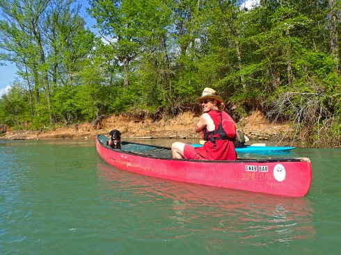
Scenic
Recreational
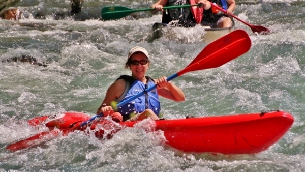
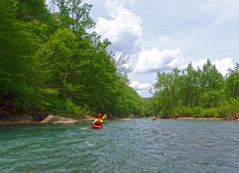
Difficulty
Class I-II
Length
10.5 mi
Gradient
11 ft/mi
Rapids
0
Access Points
Difficulty Classes
I Easy
II Novice
III Intermediate
IV Advanced
V Expert/Extreme
VI Unrunnable
Current Conditions
5-Day Forecast
Whitewater data from
American Whitewater
American Whitewater