Playspot
AR
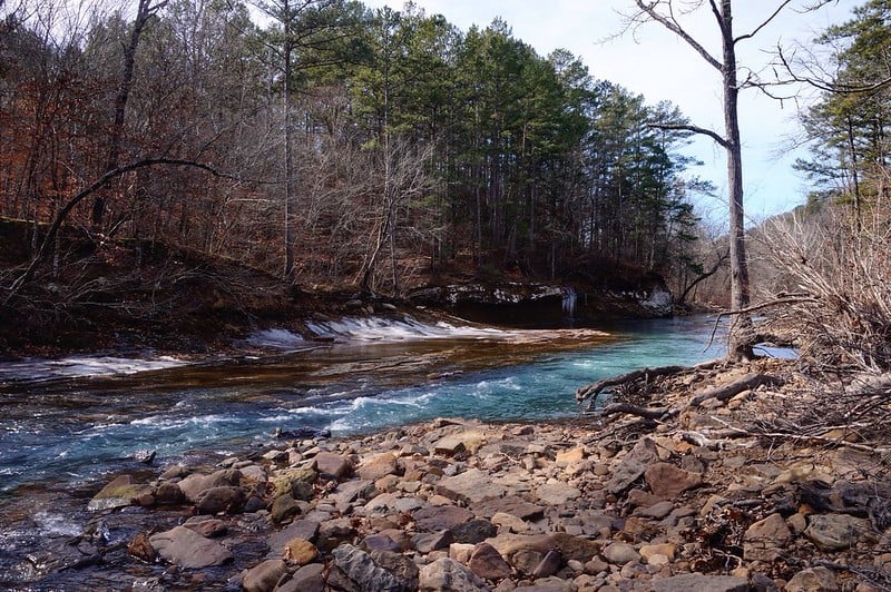
Hamm's Fall
Save this feature with the run it belongs to.
Gauge Conditions
Data from American Whitewater & USGS
Photo
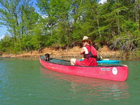
Photo courtesy of American Whitewater
Description
Play spots are on the river right channel. Following comments are based on observatons between 2001 and 2007.
Surf waves above the main ledges are optimum fro surfing between 3.0 and 4.0 feet on either the Turner Bend or USGS Gauge.
The feature formed at the bottom ledge can be either wave or a wave/hole depending on the level. The feature tends to be washed out above 3.0 feet and tends to get better at lower levels. Optimum isat levels below 2.5 feet.
River right eddy line can be used for stern squirts and bow stalls at most levels.
Location
Other Rapids on This Run (3)
View Full Run
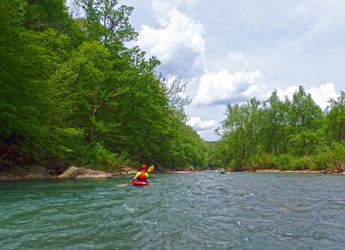
3) HWY 23 (Turner's Bend) to Campbell's Cemetery (10 miles)
Mulberry
I-II
10.5 mi
Current Conditions
5-Day Forecast
Whitewater data from
American Whitewater
American Whitewater