A) Hwy.1 wayside to Little American Falls picnic area (18.3 miles)
Gauge Conditions
Runnable: 300.0 – 1,540.0 CFS
Likely low, possibly E.L.F. (Extreme Low Flow) boatable. Possibly 130-200 cfs. Please help out your fellow boaters. Add a comment about best boatable flows.
Data from American Whitewater & USGS
Run Map
Run Time Estimate
Select put-in and take-out to estimate time.
Plan This Trip
See wind-adjusted speed maps, forecast planning, and detailed time estimates.
Sign in to generate an AI timing estimate for this run.
Whitewater timing varies with scouting, portages, and group pace. Use as a planning baseline.
Description
Quick Facts:
Location: NorthCentral Minnesota, approximately 13 miles NE from Bigfork, 136 miles NW from Duluth.
Shuttle Length: 12.7 miles. (See details in "Directions" Tab.)
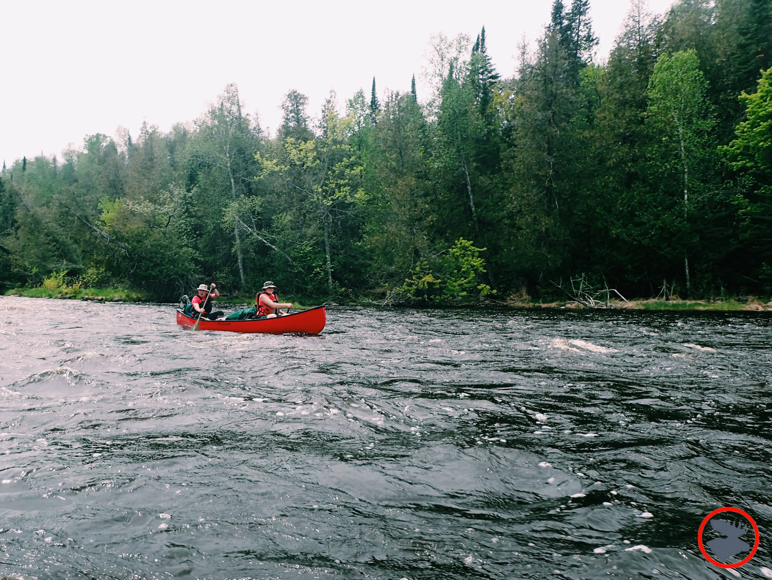
Character: Northwoods canoe tripping, mostly flatwater, light rapids and one falls.
Put-in elevation is approximately 1280'.
Take-out elevation is approximately 1240'.
Thus total elevation change is approximately 40'.
Information (lat, lng, elev, total drop, run length, shuttle length) adjusted and/or verified from best manual extrapolation of online data (via maps.google.com, distance measuring tool, and other resources). 2009.04.15
The resolution on Google Maps for this area is pretty good. Go to the 'Map' tab, click 'USGS Aerial' 'Satellite', double-click near the put-in, zoom in to the maximum resolution available (without losing image), and do a 'virtual walk' of this reach!
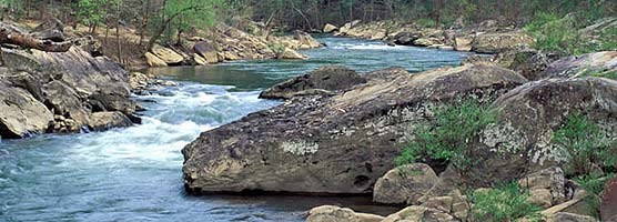
General Overview
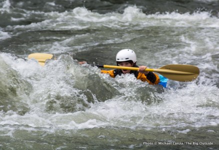
This reach includes class I rapids, a half-mile stretch of Class II (Muldoon Rapids), and Little American Falls, described in a MN DNR brochure as _"a six foot ledge into a deep pool flanked by 60 foot bluffs."_ It lists conflicting ratings for the drop, once calling it Class III-IV, and later calling it Class IV-V. (I anticipate the former is more likely correct by current standards.)
Boaters may use alternate access to shorten the trip (perhaps even just doing a 'park-and-huck at the take-out falls?).
Cliff Langley provides (2011-03-21):
_Little American Falls is a very scenic drop you can hike to from a trail in the Little American Falls campground. The falls is a class III+, or class IV if really juicing. It is basically one move, line up and go off a 4 to 6 foot drop. It didn't seem worth the bother of hiking up and down a long (hundred yard plus) staircase for one drop that would take 2 seconds to run. Nice spot though, cool campsite only accessible by water craft on river left right by the falls._
Rapids in this Run (5)
Waterfalls (1)
Difficulty
Class II(IV)
Length
18.2 mi
Gradient
2 ft/mi
max 8
Rapids
5
Access Points
Shuttle Info
Shorter trips are certainly possible. Since there are no known (marked) rapids between Muldoon and American Falls, boaters of the upper reach may wish to take out at County Road 40 (though we have no specific info regarding convenient access/parking at this location), and then drive down to look at (and huck) American Falls. For shuttle directions for this shortened (10.1 mile) trip, type (or copy/paste) **47.8835 -93.5888** in the text entry box.
Difficulty Classes
I Easy
II Novice
III Intermediate
IV Advanced
V Expert/Extreme
VI Unrunnable
Current Conditions
5-Day Forecast
Whitewater data from
American Whitewater
American Whitewater