Rapid
MN
Alt.Access
Save this feature with the run it belongs to.
Gauge Conditions
Runnable: 300.0 – 1,540.0 CFS
Likely low, possibly E.L.F. (Extreme Low Flow) boatable. Possibly 130-200 cfs. Please help out your fellow boaters. Add a comment about best boatable flows.
Data from American Whitewater & USGS
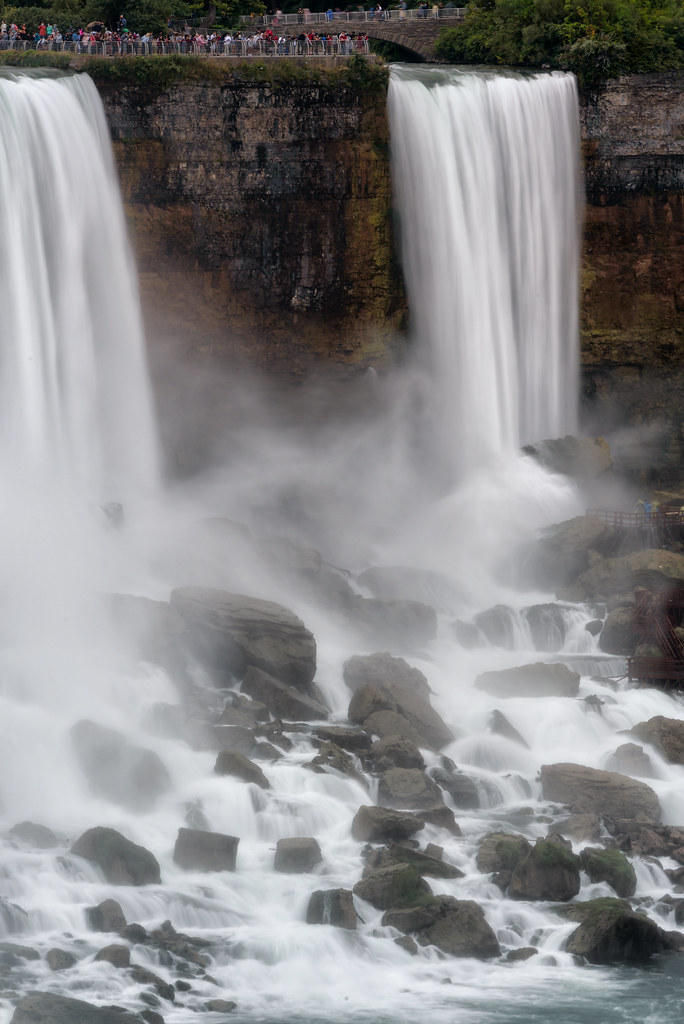
Photo
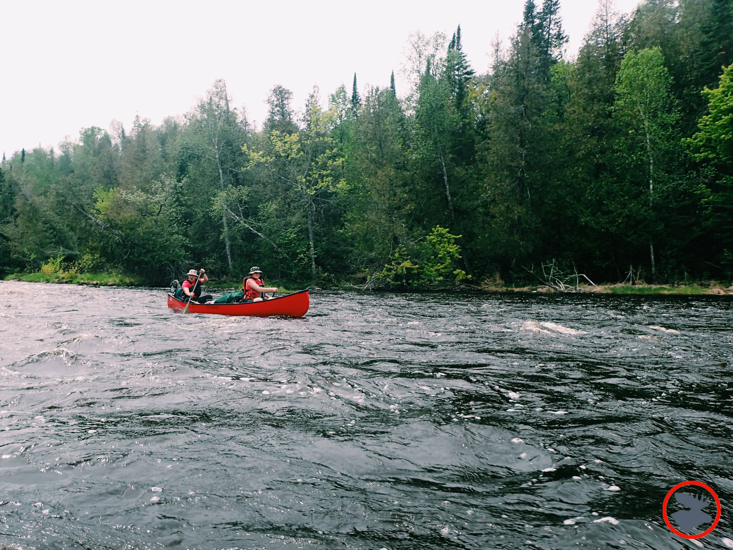
Photo courtesy of American Whitewater
Description
Alt.Access presents a technical entry with a narrow, boulder-strewn channel that quickly funnels into a tight, ledge-drop crux move requiring precise boat positioning. The rapid's primary challenge lies in navigating a series of closely spaced, partially submerged rocks that can create unpredictable hydraulics, with the main line demanding a sharp right-to-left angle to avoid a recirculating hole on the river right side.
Location

View Full Run
A) Hwy.1 wayside to Little American Falls picnic area (18.3 miles)
Big Fork
II(IV)
18.2 mi
Current Conditions
5-Day Forecast
Whitewater data from
American Whitewater
American Whitewater