Rapid
MN
Low grade rapids
Save this feature with the run it belongs to.
Gauge Conditions
Runnable: 300.0 – 1,540.0 CFS
Likely low, possibly E.L.F. (Extreme Low Flow) boatable. Possibly 130-200 cfs. Please help out your fellow boaters. Add a comment about best boatable flows.
Data from American Whitewater & USGS
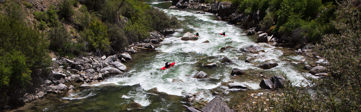
Photo
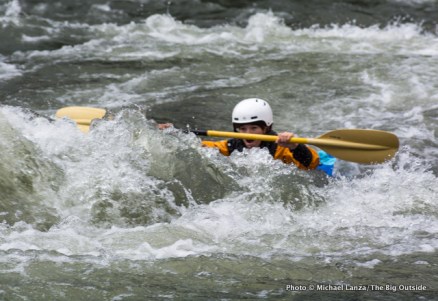
Photo courtesy of American Whitewater
Description
Topo maps indicate 'rapids' upstream and down from the highway. From the 'Satellite' view at best resolution, they are not evident. It seems likely this is little more than a rocky shoals.
Location

View Full Run
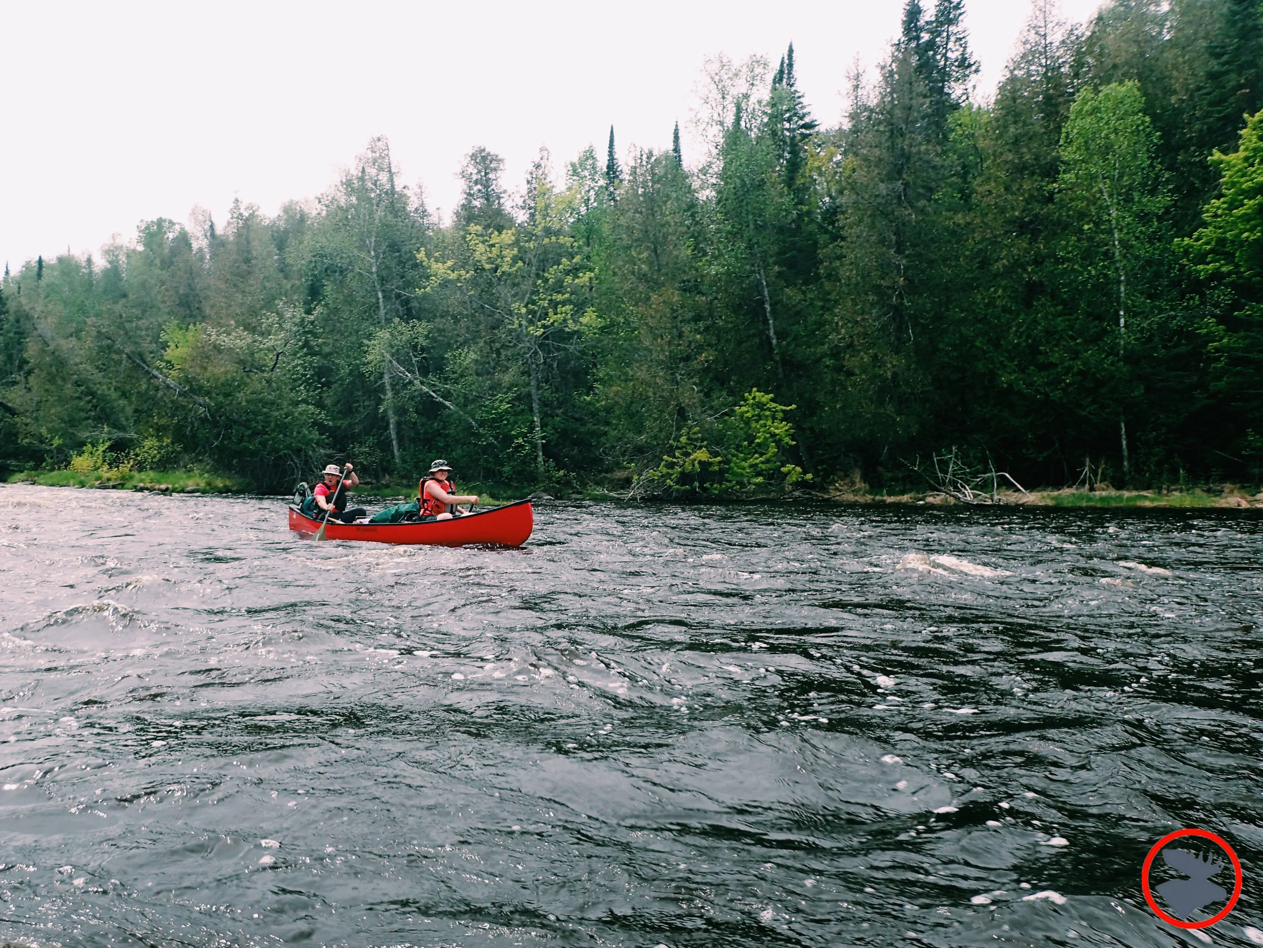
A) Hwy.1 wayside to Little American Falls picnic area (18.3 miles)
Big Fork
II(IV)
18.2 mi
Current Conditions
5-Day Forecast
Whitewater data from
American Whitewater
American Whitewater