Take-out
MN
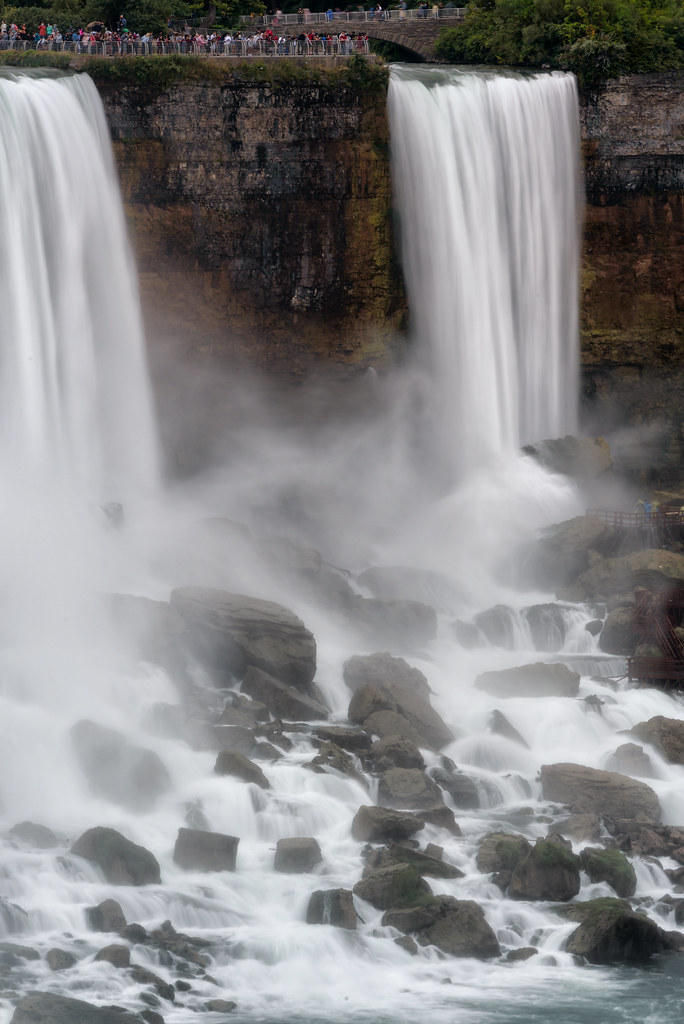
Take Out
Save this feature with the run it belongs to.
Gauge Conditions
Runnable: 300.0 – 1,540.0 CFS
Likely low, possibly E.L.F. (Extreme Low Flow) boatable. Possibly 130-200 cfs. Please help out your fellow boaters. Add a comment about best boatable flows.
Data from American Whitewater & USGS
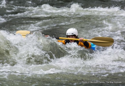
Photo

Photo courtesy of American Whitewater
Description
Take Out is a transition rapid marking the end of this river section, characterized by a wide, relatively calm stretch that requires careful navigation through scattered mid-stream boulders. Paddlers should be alert for potential shallow areas and subtle current changes that could impact boat control, especially during lower water levels.
Location
View Full Run
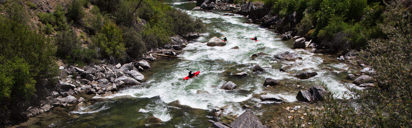
A) Hwy.1 wayside to Little American Falls picnic area (18.3 miles)
Big Fork
II(IV)
18.2 mi
Current Conditions
5-Day Forecast
Whitewater data from
American Whitewater
American Whitewater