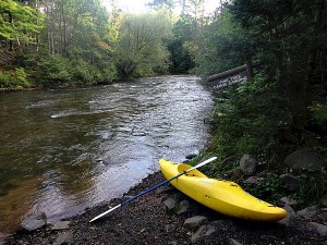
A) USFS1378/315/Lima Grde to Timber Creek landing (14.8 miles)
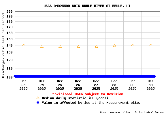
Gauge Conditions
Runnable: ? – ? CFS
Approximate reading: This gauge is 15.9 miles away on Brule. Use as a general reference only.
Data from American Whitewater & USGS
Run Map
Run Time Estimate
Select put-in and take-out to estimate time.
Plan This Trip
See wind-adjusted speed maps, forecast planning, and detailed time estimates.
Sign in to generate an AI timing estimate for this run.
Whitewater timing varies with scouting, portages, and group pace. Use as a planning baseline.
Description
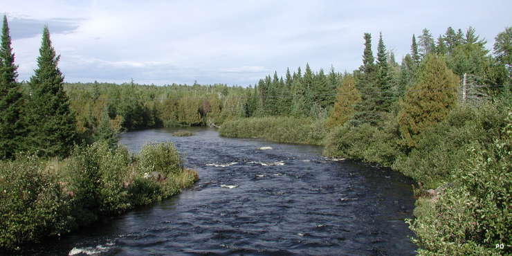
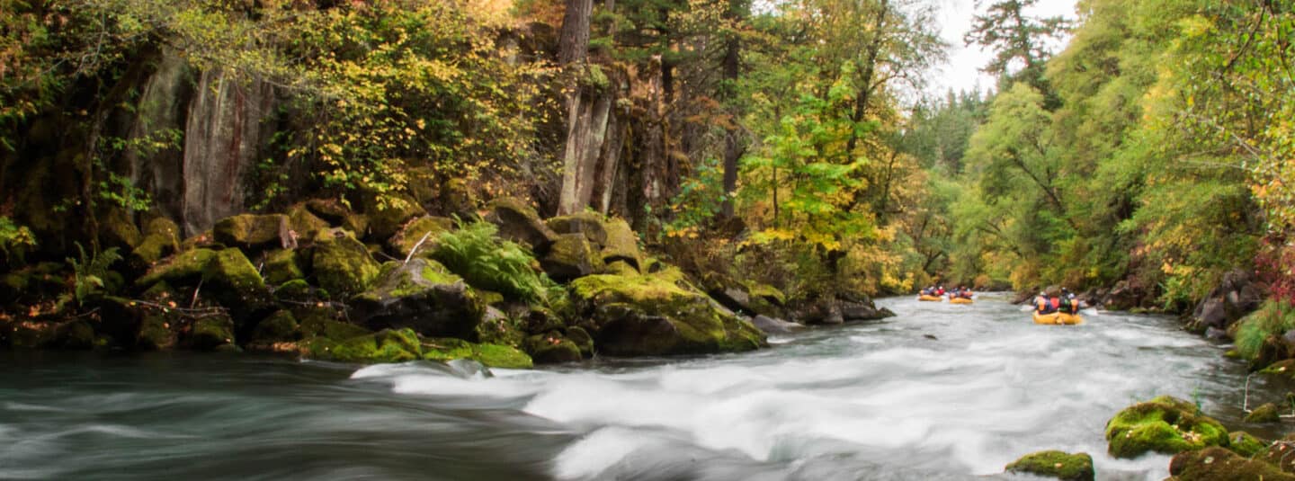
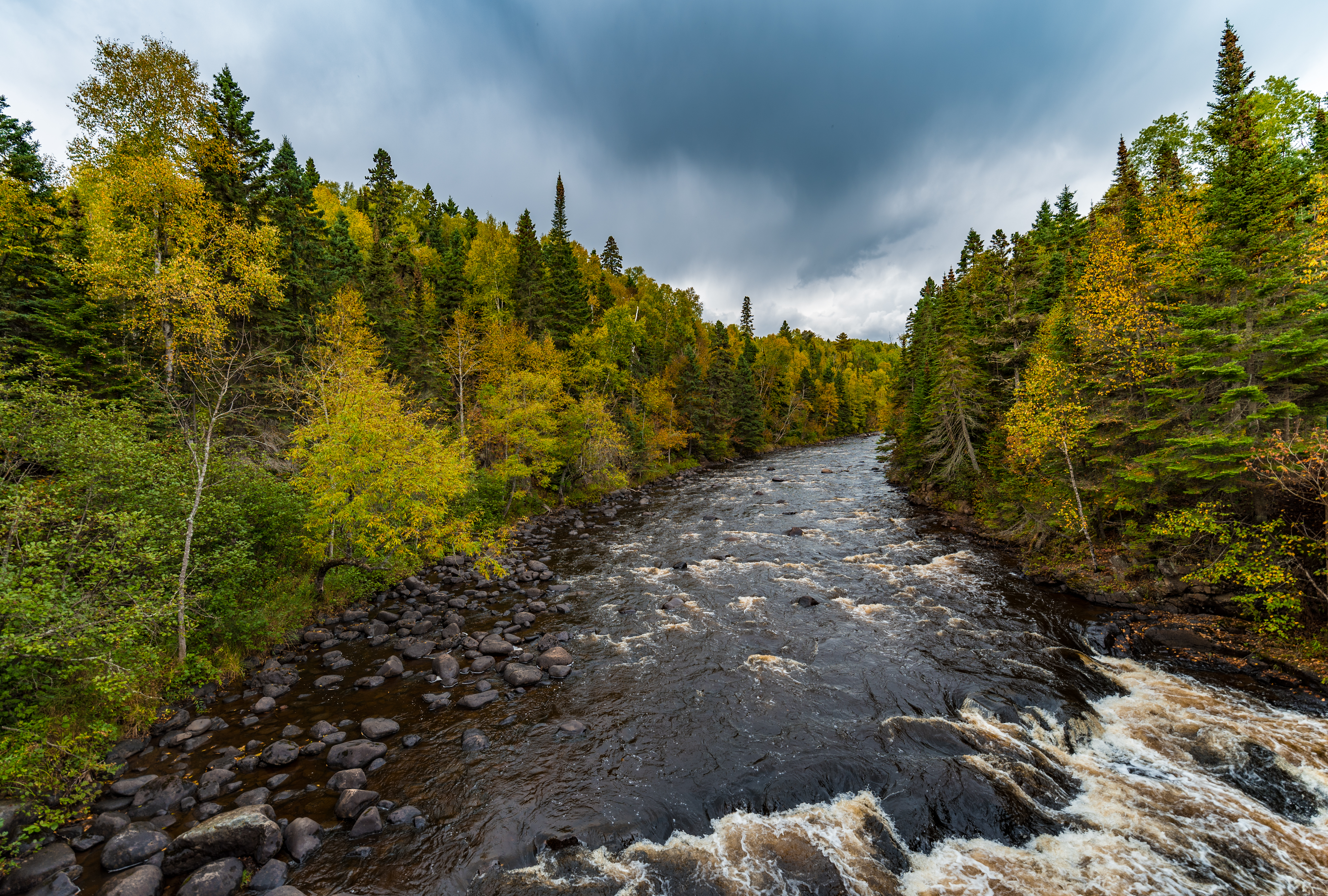
This long upper reach of the Brule is mostly what might be considered a 'canoe tripping' run, containing many areas of low-grade shoals, riffles, and rips (likely class I-II) rapids. However, it also has at least one stretch of nearly 3/4ths of a mile with atypical gradient and what appears to be a rock dike which may form a far more challenging rapids. It is possible this short stretch may be done as a park and carry (parkk and play) short trip for more serious whitewater boaters looking for the best action on this upper stretch of river.
Rapids in this Run (5)
Waterfalls (1)
Playspots (1)
Hazards & Portages (1)
Caution: The following locations may require scouting or portaging. Always check current conditions.
Difficulty
Class I-II(IV)
Length
14.5 mi
Gradient
20 ft/mi
max 37
Rapids
5
1 Hazard
Access Points
Shuttle Info
This shuttle is somewhere near a half-hour (each way). We highly recommend meeting at take-out, gearing up, swapping boats and boaters to as few vehicles as possible (to leave 'drop vehicles' there), then driving to put-in to run river. This gets you on water without the delay which would result from meeting at put-in, having to run shuttle down and back up (while some boaters wait somewhere near a full hour!) before putting on river!
Difficulty Classes
I Easy
II Novice
III Intermediate
IV Advanced
V Expert/Extreme
VI Unrunnable
Current Conditions
5-Day Forecast
Whitewater data from
American Whitewater
American Whitewater