Rock Dike
Save this feature with the run it belongs to.
Gauge Conditions
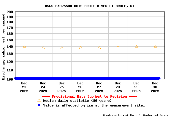
Runnable: ? – ? CFS
Approximate - nearest available gauge. Use as general reference only.
Data from American Whitewater & USGS
Photo
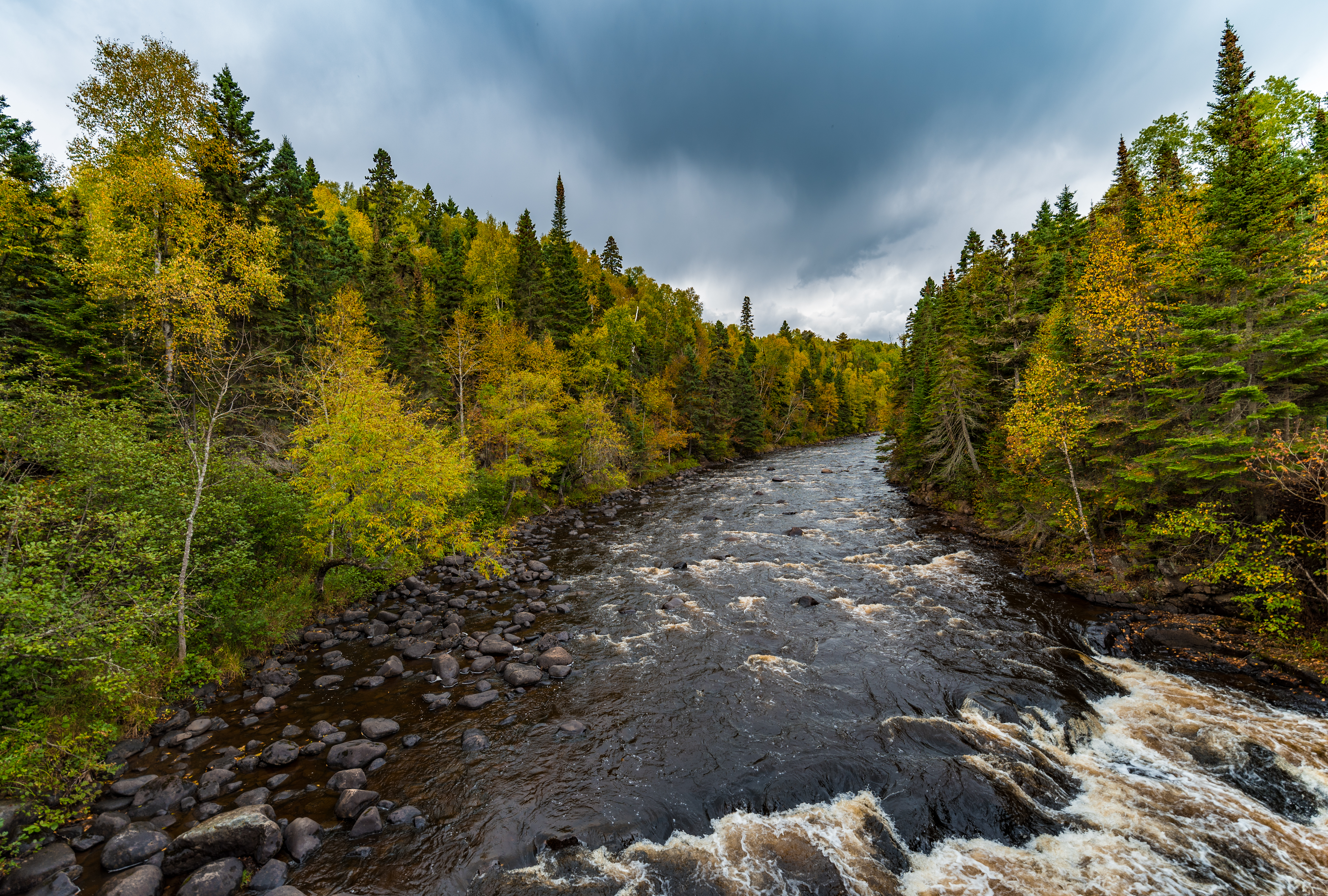
Photo courtesy of American Whitewater
Description
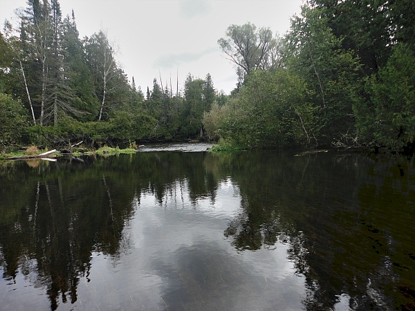
From aerial views online, there appears to be a significant transverse dike of rock amid a stretch of increased gradient. It is mere conjecture, but I'm thinking this stretch is likely to be class III with good water, and this spot in particular may push into class IV territory. (We'd love a first-hand report here! Anyone? Photos?)
Location
Interactive river map
Loads as you approach this section.
View Full Run
A) USFS1378/315/Lima Grde to Timber Creek landing (14.8 miles)
Brule
I-II(IV)
14.5 mi
Hazard — Exercise extreme caution in this area.
Current Conditions
5-Day Forecast
Whitewater data from
American Whitewater
American Whitewater