Rapid
MN
Lullaby Creek
Save this feature with the run it belongs to.
Gauge Conditions
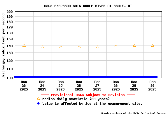
Runnable: ? – ? CFS
Approximate - nearest available gauge. Use as general reference only.
Data from American Whitewater & USGS
Photo
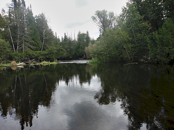
Photo courtesy of American Whitewater
Description
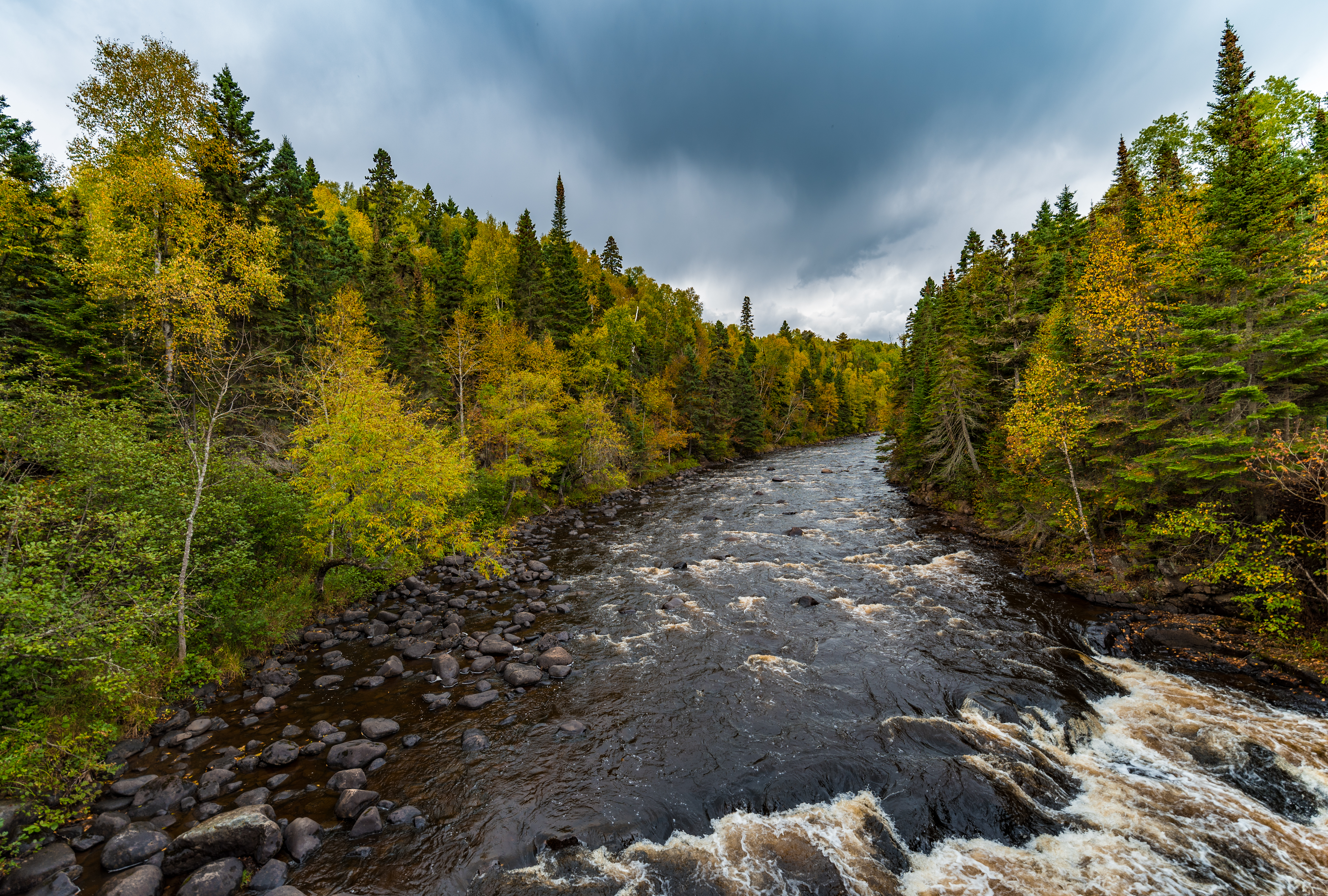
The road (Gunflint Trail / 12) is very nearby where Lullaby Creek enters from river-right. This could be a convenient landing for anyone wanting to do a short run of the best gradient on this upper reach.
Location
Interactive river map
Loads as you approach this section.

View Full Run
A) USFS1378/315/Lima Grde to Timber Creek landing (14.8 miles)
Brule
I-II(IV)
14.5 mi
Current Conditions
5-Day Forecast
Whitewater data from
American Whitewater
American Whitewater