B) Eau Claire Dells to Lookout Rd. (4.6 miles)
Gauge Conditions
Runnable: 350.0 – 2,200.0 CFS
Low, but possible to do just the dells as PnP. Bump-and-scrape, but some fun play.
Data from American Whitewater & USGS
Run Map
Interactive run map
Loads as you approach this section.
Run Time Estimate
Select put-in and take-out to estimate time.
Plan This Trip
See wind-adjusted speed maps, forecast planning, and detailed time estimates.
Sign in to generate an AI timing estimate for this run.
Whitewater timing varies with scouting, portages, and group pace. Use as a planning baseline.
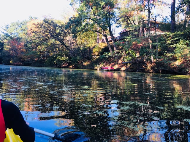
Description
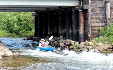
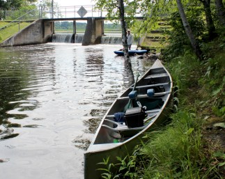
Put-in above the dam on the upstream side of the park (which straddles either side of the main road). The far-right two gates of the dam are normally runnable.
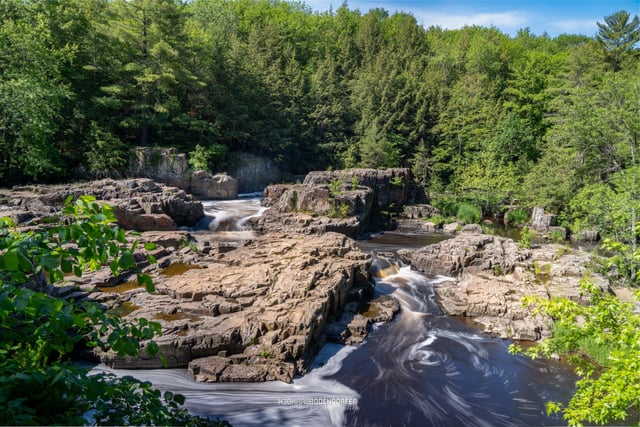
A short stretch of rapids with some minor play potential lead to a very scenic dells with an intense zig-zag of channels and drops. Riverbooks indicate the river drops 65' in 1.5 miles (44fpm). Often boaters just do a park-and-play in a county park where the bulk of that drop is concentrated.
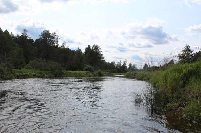
Downstream of the dells, boulderbed rapids proceed past random rocky outcroppings for the next mile or so, leading down to and around either side of a large island. Better flow is to the right, and a fine set of ledges will be encountered just before the end of the island. The gradient peters out the rest of the way toward and beyond CTH.Z, before reaching another island. Either side is runnable, with the left being narrower and potentially more interesting, as it drops through a mini-dells with good waves and holes. As the island ends and the flows rejoin, the gradient eases, and the remainder of the float to the take-out is flatwater.
Rapids in this Run (3)

Waterfalls (1)

Difficulty
Class II-III(IV)
Length
4.7 mi
Gradient
25 ft/mi
max 47
Rapids
3
Access Points
Shuttle Info
Shuttle directions (take-out to put-in for Eau Claire River, Eau Claire Dells to Badger Road) appear below.
For drive time, distance, and directions from any other location to the put-in for this reach,
enter (into the text box) your location (zipcode, city state, address city state, or lat lng coordinates).
Difficulty Classes
I Easy
II Novice
III Intermediate
IV Advanced
V Expert/Extreme
VI Unrunnable
Current Conditions
5-Day Forecast
Whitewater data from
American Whitewater
American Whitewater